July 26, 2025
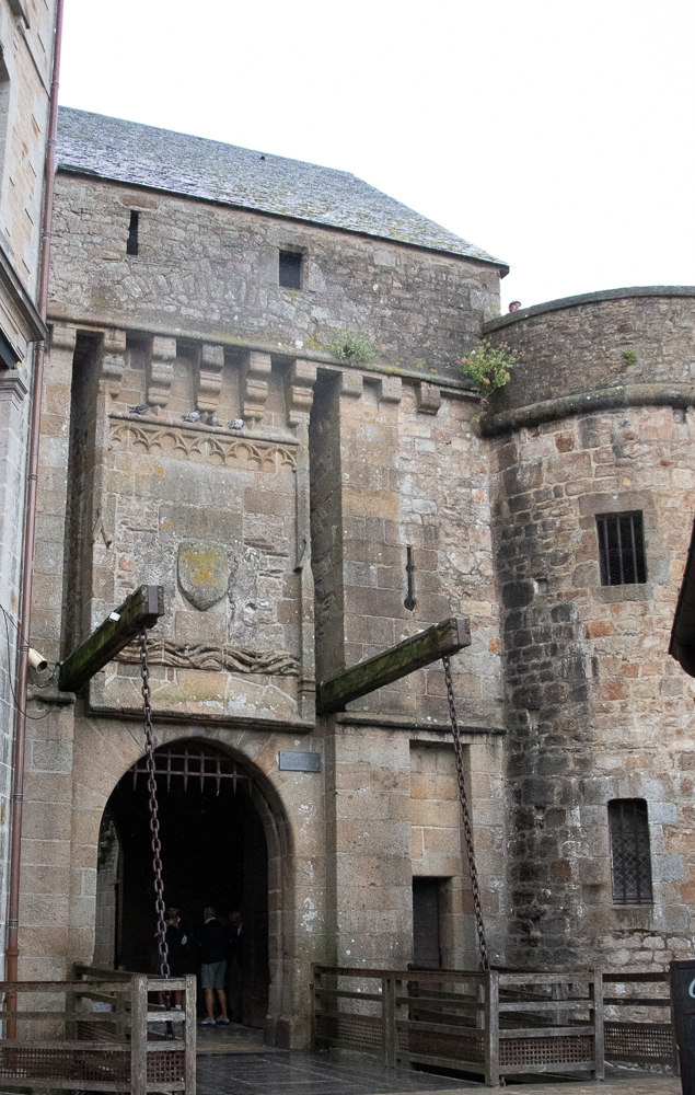
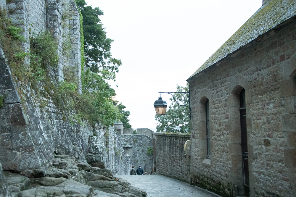
It is hard to believe, but I had never been to Mont Saint-Michel. Sadly, we arrived late in the evening, and the monastery was not open; however, there was still plenty of time to explore the island.
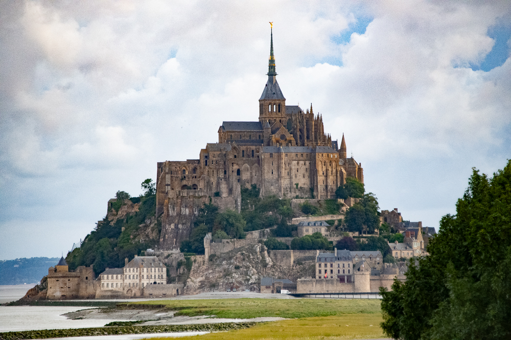
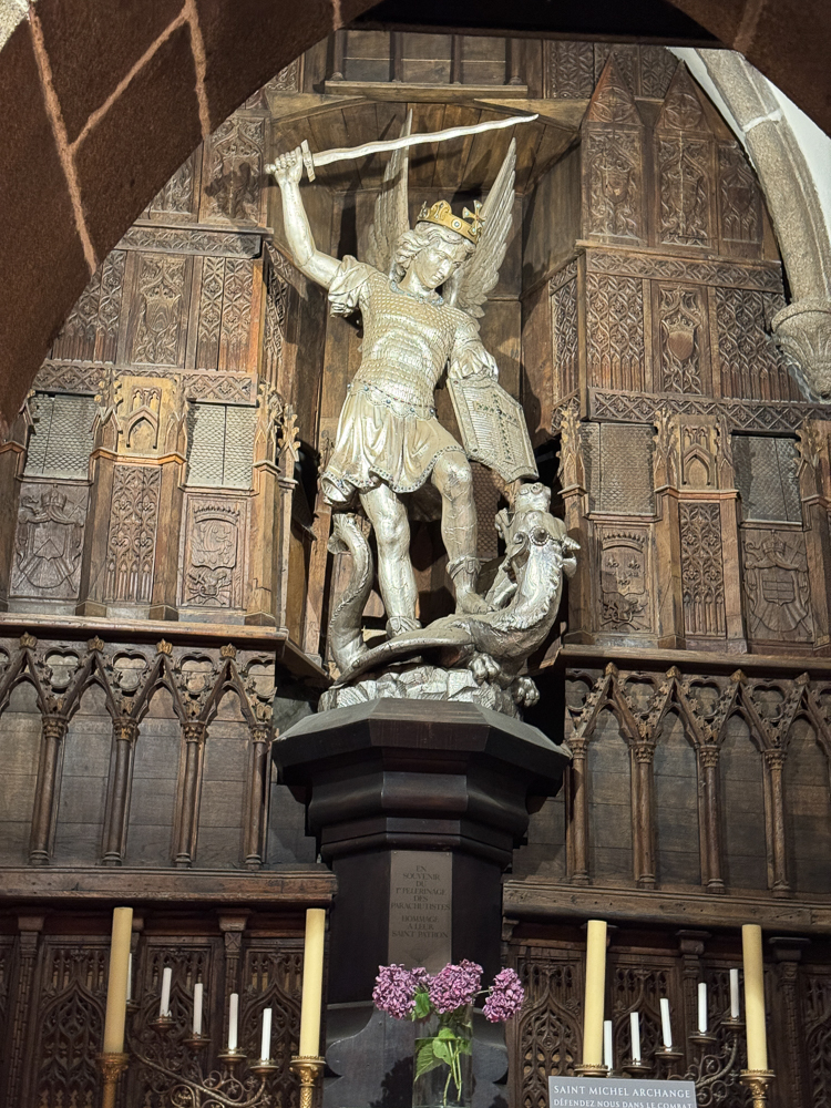
The island was originally called Mont-Tombe but became known as Mont-Saint-Michel in the 8th century, when St. Aubert, bishop of Avranches, built an oratory there after having a vision of the archangel St. Michael. It rapidly became a pilgrimage center, and in 966 a Benedictine abbey was built there. In 1203, it was partly burned when King Philip II of France tried to capture the mount.
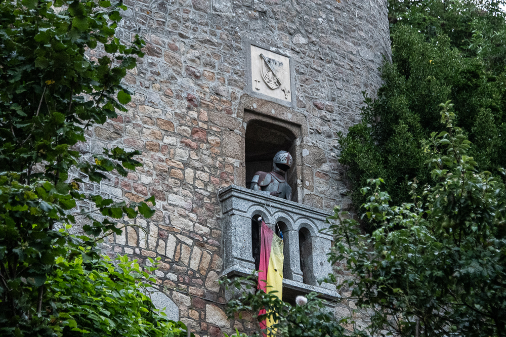
The island, which was fortified in 1256, resisted sieges during the Hundred Years’ War between England and France (1337–1453) and the French Wars of Religion (1562–98). The monastery declined in the 18th century, and only seven monks were living there when it was dissolved during the French Revolution (1787–99). It became a state prison under Napoleon I (reigned 1804–14/15) and remained a prison until 1863. In 1874, it was designated a historic monument and subsequently restored.
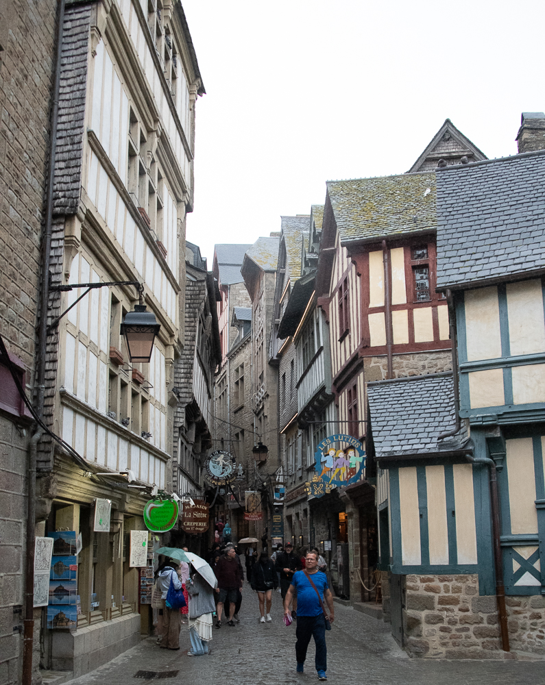
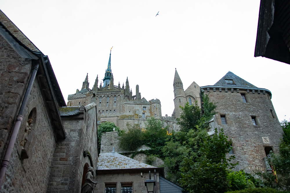
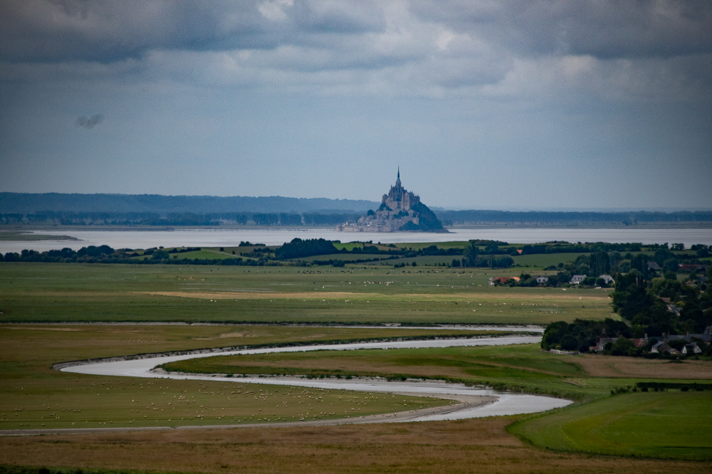
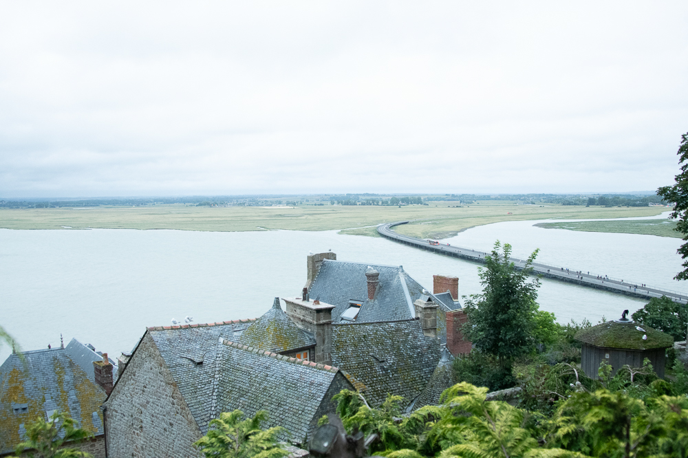
Mont-Saint-Michel is almost circular (about 3,000 feet in circumference) and consists of a granite outcrop rising sharply (to 256 feet out of Mont-Saint-Michel Bay (between Brittany and Normandy). Most of the time, it is surrounded by vast sandbanks and becomes an island only when the tides are very high.
*
*
*
A 3,000-foot causeway was eventually built, connecting the island to the mainland. Before that, it was particularly difficult to reach because of quicksand and very fast-rising tides.
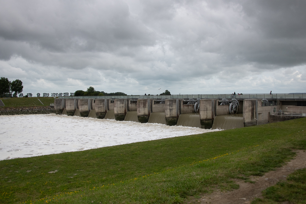
The causeway, however, had become a barrier to the removal of material by the tides, resulting in higher sandbanks between the islet and the coast.
So this dam was built to alleviate the problem. The sluice gates are closed 1.5 hours before high tide. The first flow hits the obstacle, and the sediment is deposited downstream from the dam. Eventually, the sluice gates are opened gradually six hours after high tide, creating a progressive water release without waves of breakers lasting from thirty minutes to three and a half hours. The longer the water release, the more effective the transporting of the sediment back out to sea.