May 2022
Sometimes you have to complete a journey to realize it might not have been the best idea. I decided to drive from Bay of Fundy to my final destination in Newfoundland.
So far it has been an interesting experience. It began with a 7 hour ferry ride from Sydney Harbor, Nova Scotia to Port Aux Basques in Newfoundland. The ferry was fascinating and truly enjoyable. It is absolutely huge, and carried many fully loaded semi trucks.
Once I landed at Port Aux Basques, I was headed to my first destination in Norris Point which sits on the edge of Gros Marne National Park. This was a 4 hour, or 210 miles drive. This is where I wondered if I should not have simply flown to one of the airports in Nova Scotia.
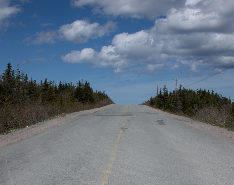
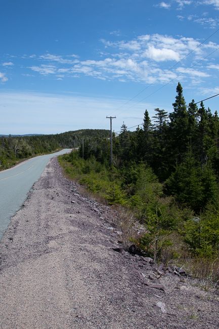
The roads are horrible, bad is not a strong enough word. Now, considering the freeze thaw cycle in this part of the world, truth is, the fact that there even was pavement is rather astonishing. Then consider tractor trailers and chains, you have ruts right down the middle of the road, which happily fill with water in the rain, making driving rather challenging.
Having said that, Canadian highway construction standards vary considerably among provinces and cities. In much of Newfoundland and Labrador, the Trans-Canada Highway system is still in its original two-lane state. Maintenance varies as well.
The view never changes either, no wonder these people are famous for lumber, the trees were miles deep.
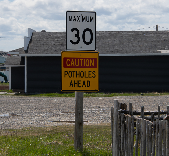
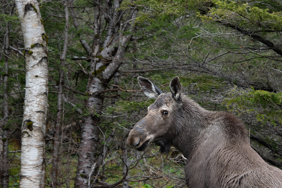
The Look for Moose signs were adorable but not anywhere near as prevalent as Watch for Potholes, I assume that is the maintenance program for the roads. On a regular basis, after swerving to miss potholes my rental car would flash a coffee cup and say maybe I should take a break. That at least entertained me.
A large part of Trans Canada Highway in this area is not divided, although it is easy to differentiate between the different directions. What is completely lacking is paint. There were no lines delineating lanes, and that was a major challenge. After several hundred miles, I figured the system out, but when I first encountered it, in the rain, wow!
A large portion of the Trans Canada Highway is elevated, as much as 10 feet, and there are absolutely no places to pull over, so once you have committed, you are on your way. These drops also do not have guardrails, sort of a we don’t need no stinking guardrails mentality. I am rather sure these deep ravines have to do with the massive amount of water that they get in the spring time, and possibly snow removal. Snow removal may also be the reason for lack of guardrails.
On my first drive, there was nothing in those 210 miles, my eyes were peeled to the gas gauge in total fear. Fortunately I had plenty of gas, but I have made sure that I always fill the tank when it gets down to 1/2. I am sure my credit card company wonders why I am buying $50 US worth of gasoline every day.
I did the same thing two days later going from Norris Point to Trinity, this time it was six and one half hours and 355 miles. There was almost nothing between those two points. Again, eyes on the gas gauge.
Another part of my constant concern is that there are very few people on these roads, and there is no cell service for hundreds of miles. I wish I had researched what to do if I had had a problem, as I say, sometimes it takes the adventure to learn what to do on the adventure.
I did mention that I started at the Bay of Fundy in Nova Scotia, there I drove 385 miles for 4 hours on roads that one expects, that were also well maintained.
So was it worth it. Yes, If I had not driven, I would have missed Gros Marne and the Trinity area of Newfoundland and this country is just spectacular the geology is fascinating, the people are beyond nice, and there is so much history here, I was very content.
Would I do it again? Hell no! The Ferry was $90 US and I splurged for a $47 US private cabin, as the main area is a casino and the noise was more than I wanted to contend with. As I have mentioned, gas is $8 US per gallon. I was told by someone that Newfoundland has the highest gas prices in all of Canada – just my luck.
Gros Marne National Park
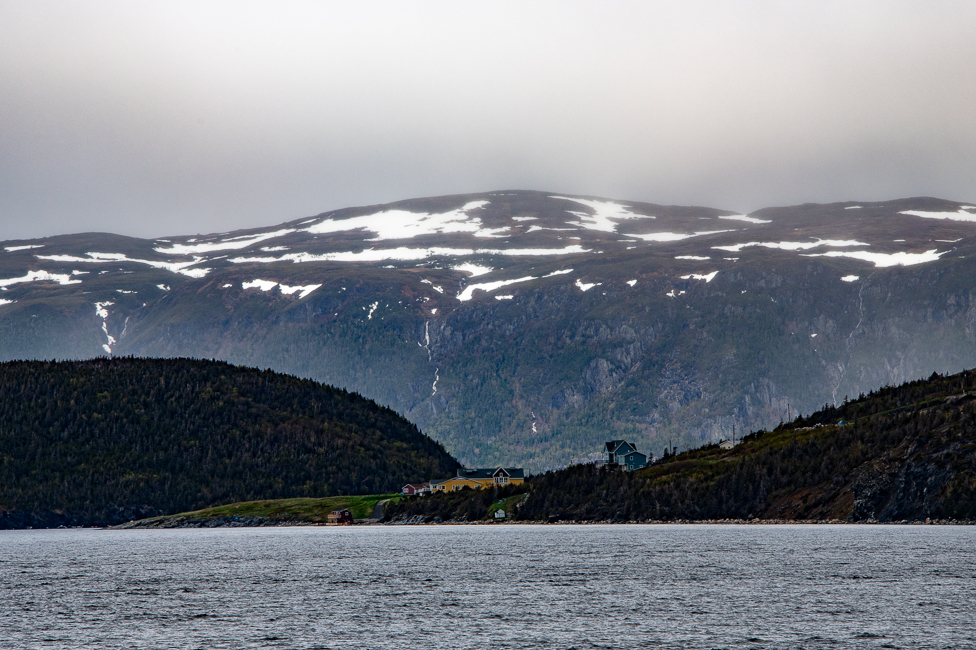 There is so much more to Gros Morne National Park that this one photo, but the day I was there it was raining buckets and photography was not possible.
The name comes from the largest mountain in the park, interpreted from French it means “large mountain standing alone”. Gros Morne is part of the Long Range Mountains, an outlying range of the Appalachian Mountains. It is the eroded remnants of a mountain range formed 1.2 billion years ago, making it older than the Rocky Mountains.
The park is a UNESCO world heritage site, and was chosen because it illustrates some of the world’s best examples of the process of plate tectonics.
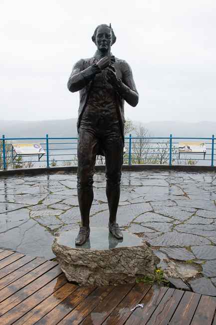
Due to the pouring rain I took a little side trip to Corner Brook to find this statue of James Cooks, British explorer, navigator, cartographer, and captain in the British Royal Navy. I know the man for his explorations in Tahiti, but what I did not know is that he made detailed maps of Newfoundland prior to making his three voyages to the Pacific. He accurately surveyed the entrance of the St. Lawrence River as well as surveying the southern and western coasts of Newfoundland, the coast of Quebec and Labrador. In these pursuits he produced the most accurate maps of the area that were used for the next hundred years.
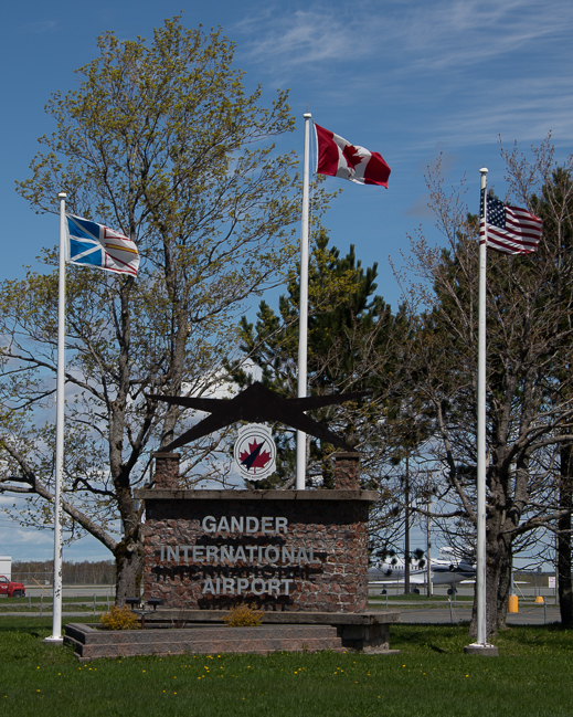
So why a picture of the Gander International Airport? Prior to 9-11 it was already a very important site in aviation. From here, British aviators Alcock and Brown began the world’s first nonstop transatlantic flight and Amelia Earhart began many of her voyages here.
On 9-11 38 flights that were headed to the US landed in Gander, grounding 7,000 people. The graciousness of the people of Gander is well known to those of us that witnessed that horrific day, and I felt a 20 minute side trip was worth the effort to see where Canadians opened their hearts to Americans on one of our most horrific days in history.
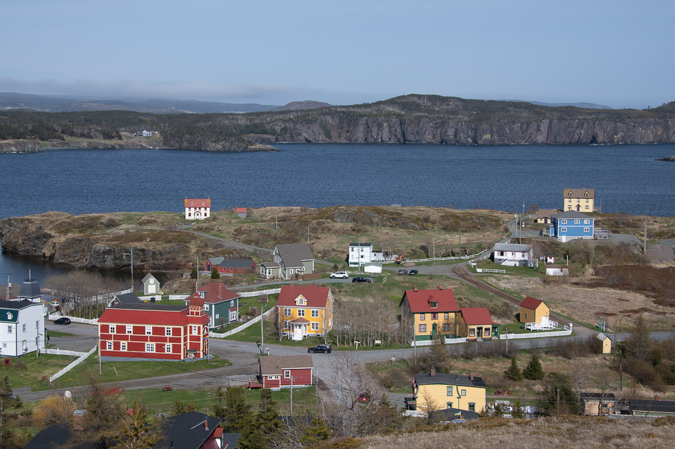
I have yet to get to my final destination, but I am nearing St. Johns, the capital of this province, and I believe there will be more civilization along the way. Newfoundland is 144,353 square miles and the population is a mere 1/2 million with 40% of that living in St. Johns area.
This province is a vast and gorgeous, but next time I fly.