November 20, 2020
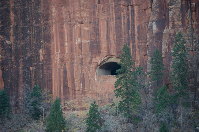
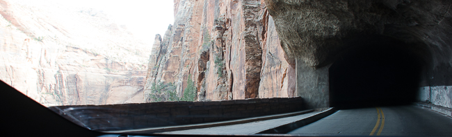
We left Zion National Park via the Zion-Mount Carmel Tunnel. Bored and blasted through the sandstone cliffs above Pine Canyon this amazing engineering feat blows the mind. Construction of the 1.1-mile tunnel began in the late 1920s and was completed in 1930 at a cost of $1, 896,000. At the time of its dedication, on July 4, 1930, it was the longest tunnel of its type in the United States. The purpose of the tunnel was to create direct access to Bryce Canyon and the Grand Canyon from Zion National Park. The project included a 25-mile long road, that includes seven switchbacks taking vehicles up 800 feet in elevation from the valley floor.
A three-hour drive to the North Rim of the Grand Canyon with a stop at Moqui Caves we traveled through the Vermillion Cliffs, a park that requires a four-wheel drive and a permit from the BLM, but can be enjoyed from the Highway.
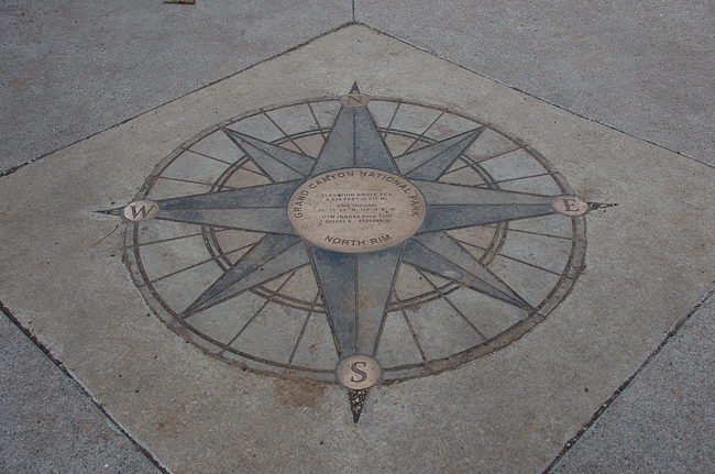
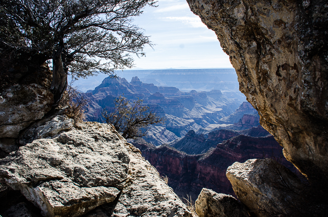
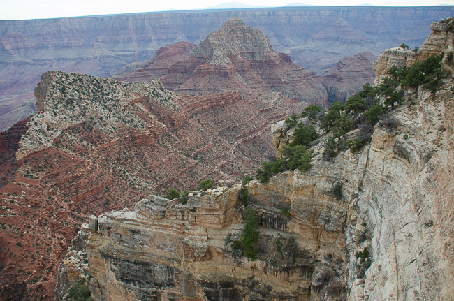
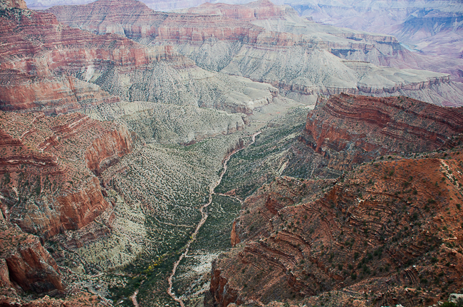
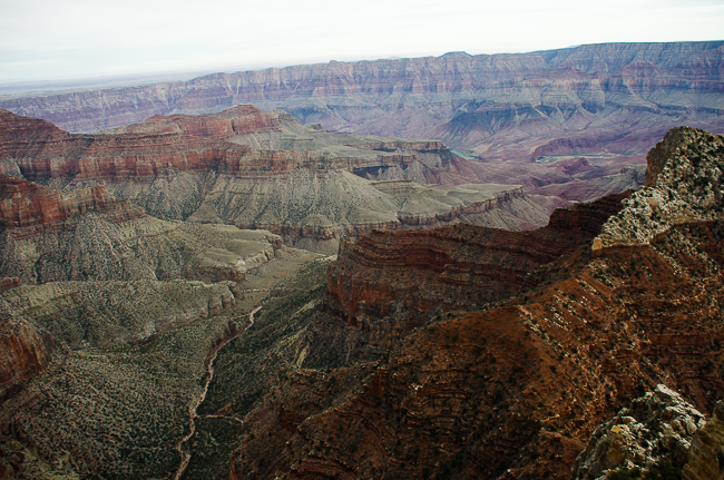
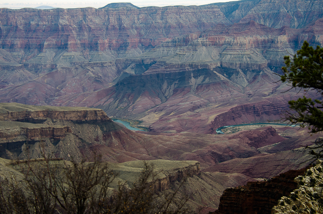
We headed to the North Rim of the Grand Canyon. It was a moment where we both agreed we were a bit non-plussed. We discussed that it might be due to the amazing sights we had seen, and then we went exploring.
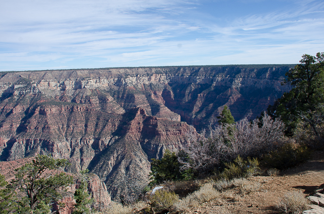
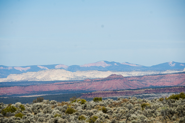
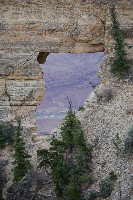
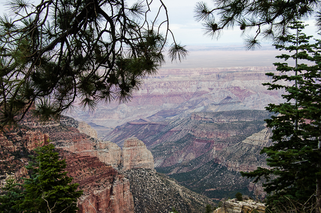
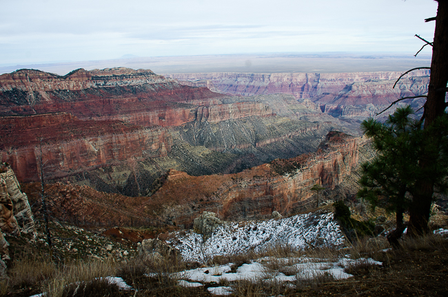
We began the long drive around the various canyons to Cape Royal with stops at various lookout points. The views changed and our WOW factor was amped up considerably.

*
*
*
*
*
*
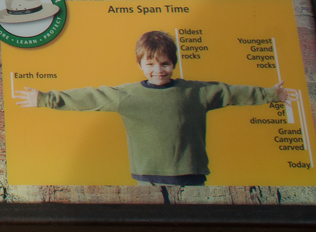
Sometimes a silly graphic gives you a better idea of how our earth has formed than words.
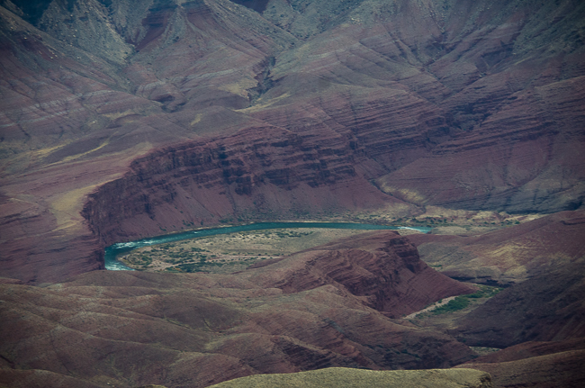
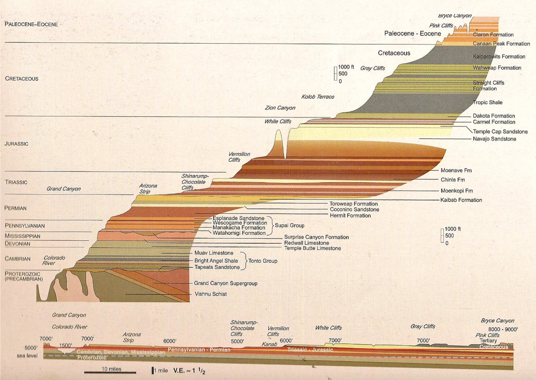
These three canyons sit on the Colorado Plateau. The Colorado Plateau consists of a deep layer-cake of rocks, mostly sandstone, and limestone. These rocks recorded nearly two billion years of time – nearly half the age of the Earth.
We began at Bryce Canyon and worked our way down the geological scale to the Grand Canyon. While difficult to describe this might help.
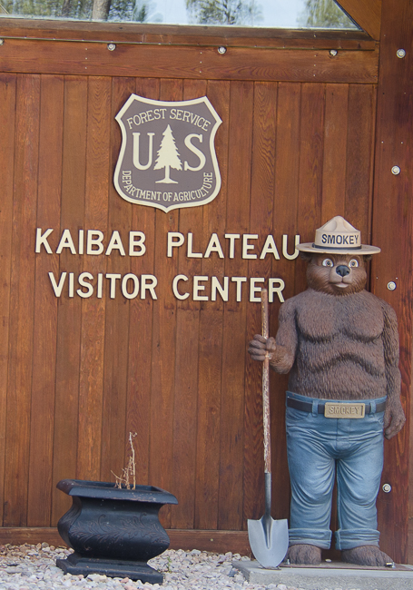
We are staying the night at Jacob Lake, the only place within miles and miles and miles of the Northern Rim. An interesting place, but it has a full Smokey the Bear, making it the best, in my opinion.