May 2022
This stop is for my late husband Michael. He loved to sail, and he had so much fascinating information in his brain it was hard to keep up. One day in passing he mentioned that the Bay of Fundy had the world’s largest tidal difference. I do not know if that was a hint that he wanted to visit here some day, or his just imparting some of his vast knowledge, but he never made it here, so I am here in his stead.
So some background. The tidal flow is not a tsunami, the difference between low tide and high tide in the Bay of Fundy takes 6 hours, plenty of time to enjoy the area while waiting to see one end or the other of the phenomenon.
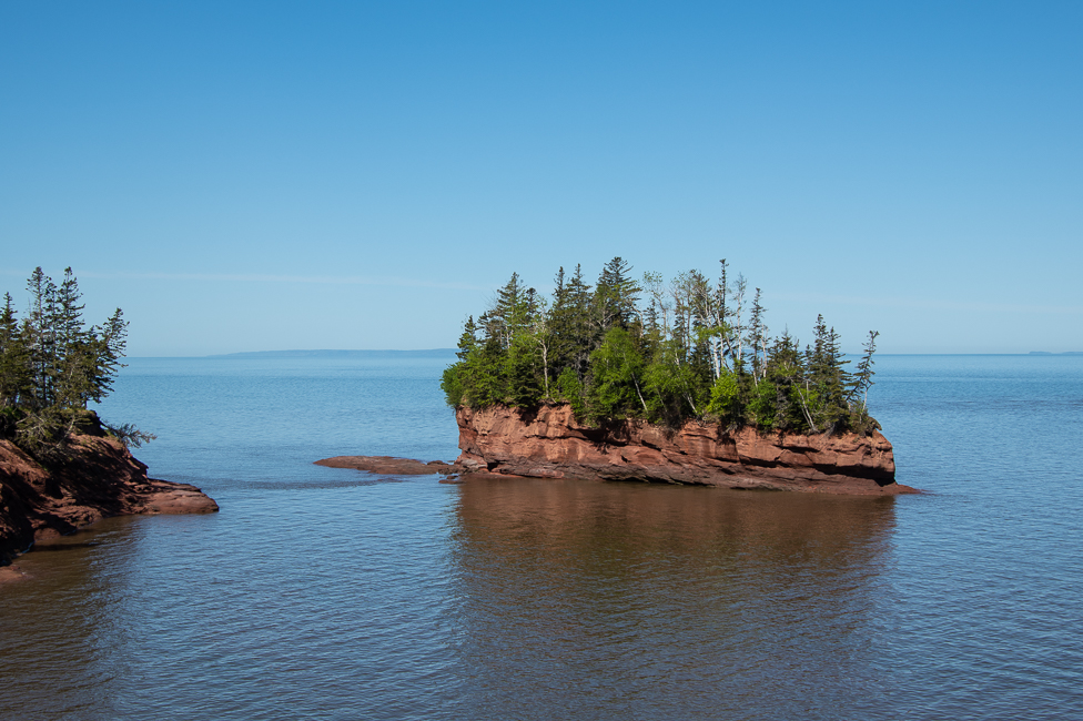
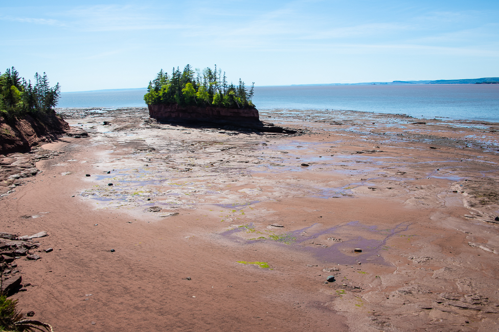
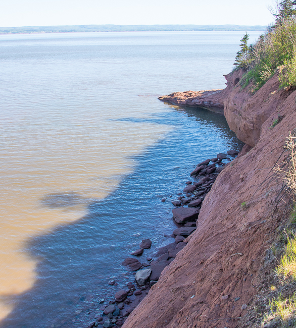
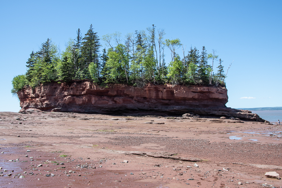
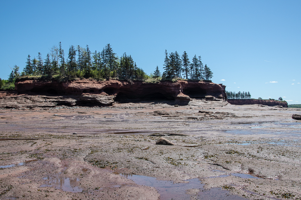
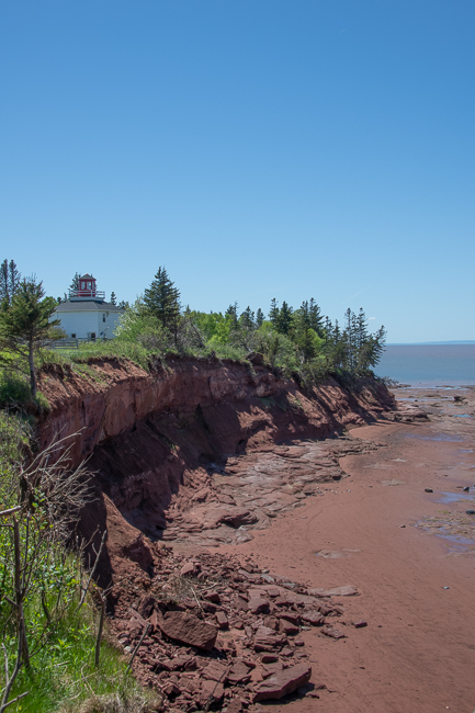
Burntcoat is on the Minas Basin which is an inlet of the Bay of Fundy.
The average tidal range of all oceans around the globe is three feet. The tidal difference in the Bay of Fundy is 52.5 feet at its highest. This phenomenon exists because the bay has a few distinct features: a substantial amount of water and a unique shape and size that causes resonance.
So what is resonance? Liquid in a basin has a characteristic period of “oscillation” and, once set in motion, the liquid will rhythmically slosh back and forth in this time period. The surface rises first at one end, then at the other, while the level in the middle remains nearly constant. The speed at which it oscillates depends on the length and depth of the basin. That oscillation is in perfect sync with the Atlantic ocean tide flooding into the bay every 12 hours and 26 minutes, which results in “resonance”.
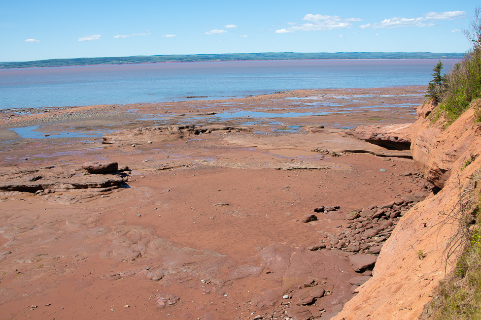
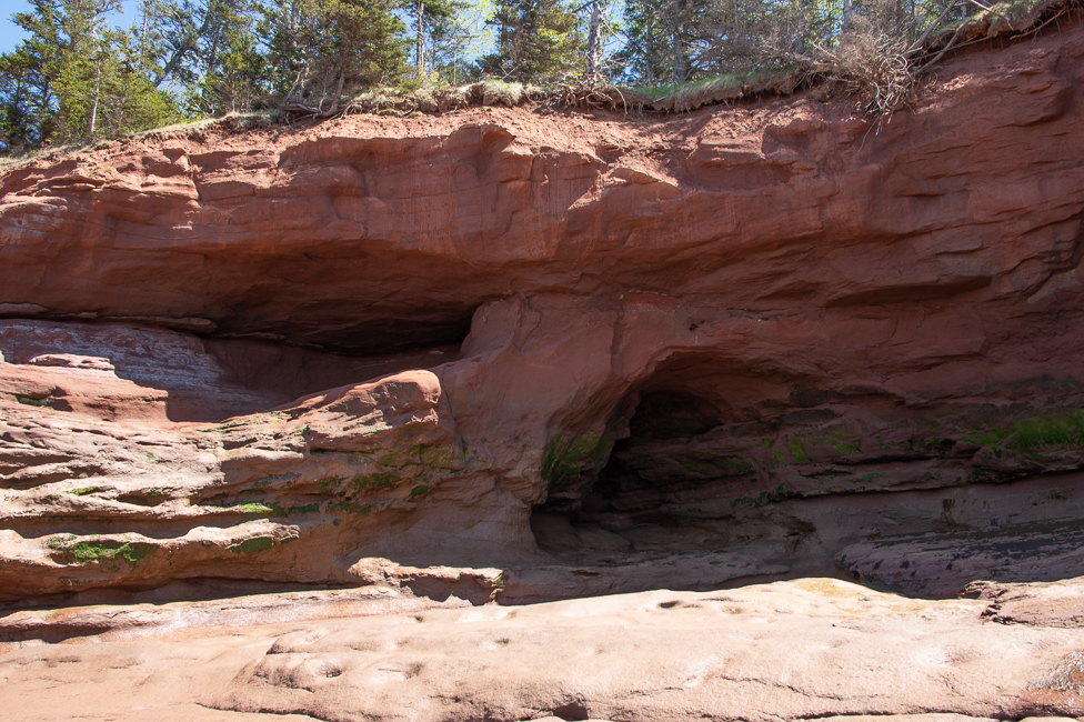
When the tide is low you can walk out and explore the ocean floor, the best place to do this is at Burncoat Head Park, which is right next to the small resort where I stayed.
There is also a thing called a Tidal Bore. This is when the leading edge of the incoming tide forms a wave that travels up the bay reversing the direction of the bay’s current. I went to view it at the Interpretive Center first thing in the morning. I am afraid what I saw was rather uneventful, so the photo below is from their website.
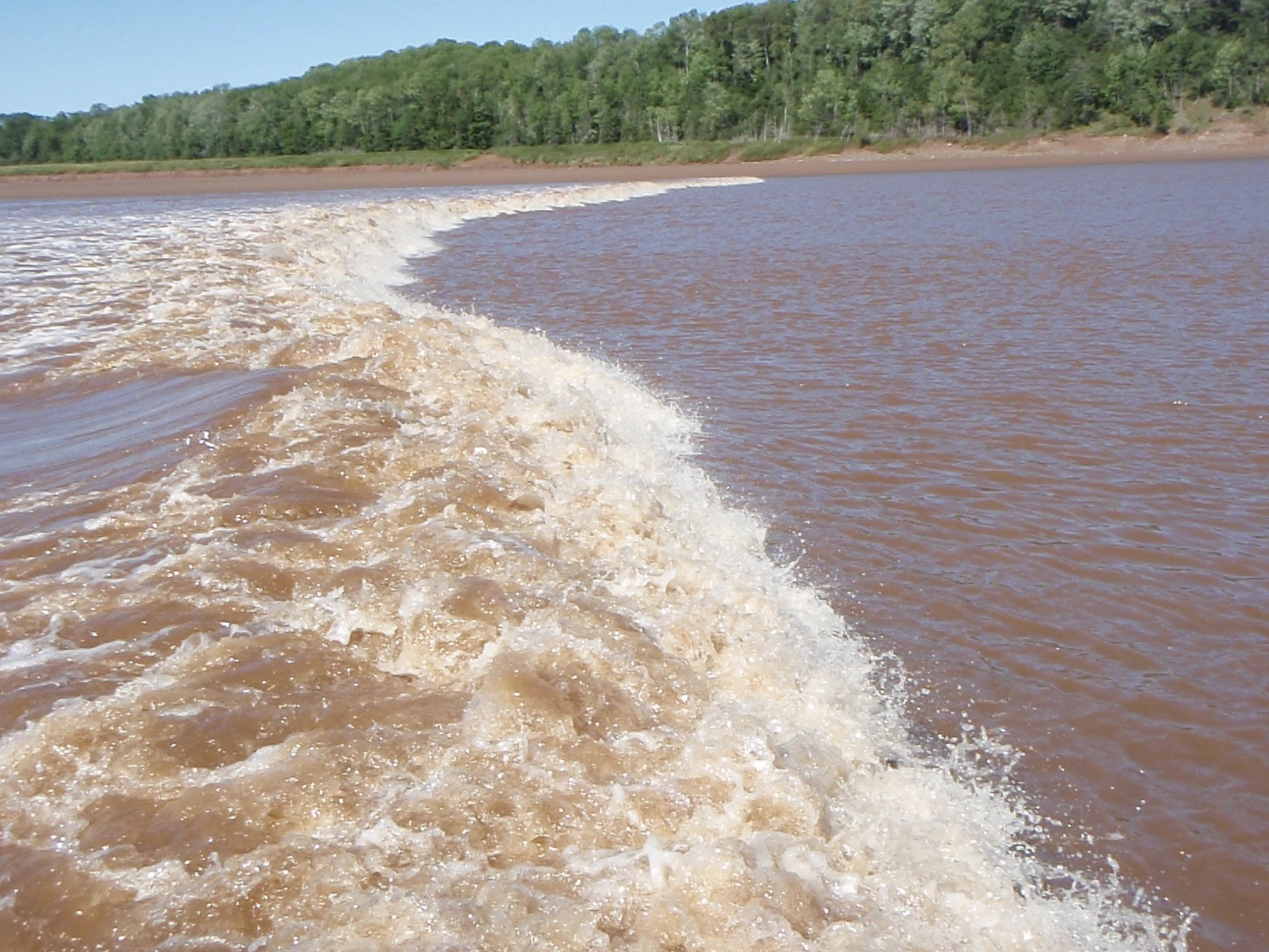
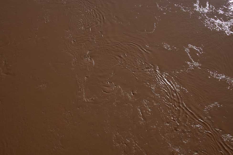
What it does do at the Interpretive Center is roil the mud to give you a real feel for the color of the water. This color lasts until high tide, so every where you go you will see this mud, that does not come out of one’s clothes.
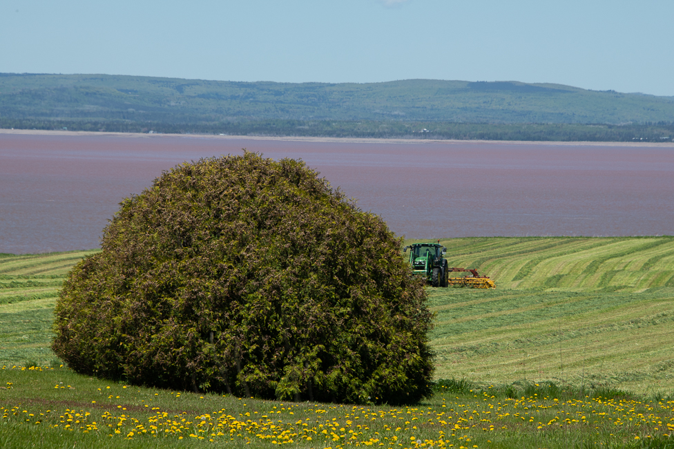
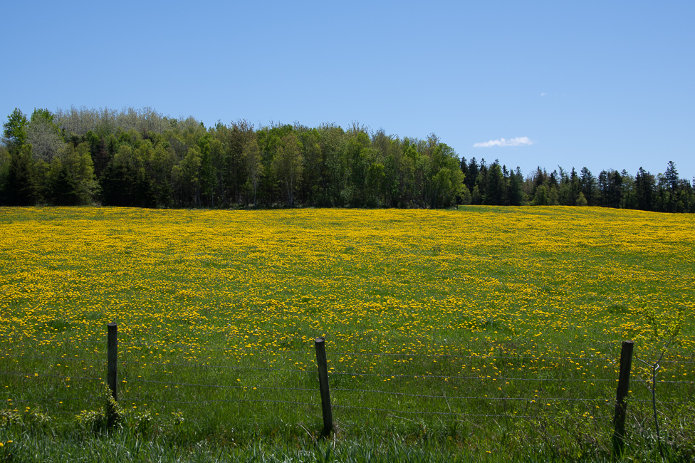
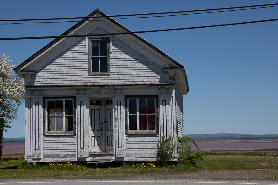
Driving the roads around Burntcoat to admire the beauty while waiting for the tides to change:
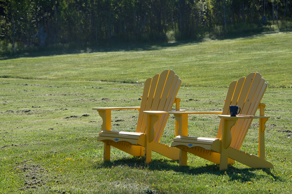
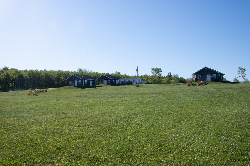
This blog doesn’t often rave about things that this writer considers the purview of more tourist/travel blogs, but the Shangri-La Cottages are the absolutely perfect place to stay if the tides are what you are in the Bay of Fundy to see. There are only 3 cabins spread across a vast piece of property. Restaurants, bars and grocery stores are a ways away, but the location, the peace, the hosts are worth my praising and writing of my appreciation.
*
*
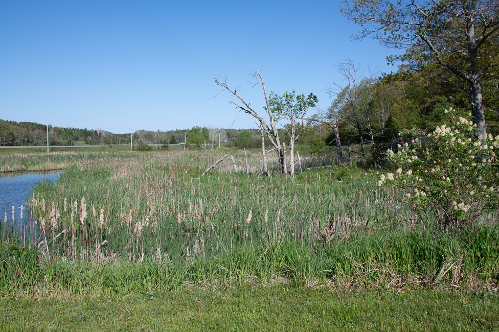
The salt marshes around the Bay of Fundy are an incredibly large Carbon Sink. They are being studied by biologists from around the world for their potential help with global warming.