November 7, 2019
The Maltese Islands went through a golden Neolithic period. Later the Phoenicians, the Carthaginians, the Romans, and the Byzantines, all left their traces on the Islands.
In 60 A.D. St. Paul was shipwrecked on the island while on his way to Rome and brought Christianity to Malta.
The Arabs conquered the islands in 870 A.D. and left an important mark on the language of the Maltese (a Semitic language written in Roman characters). Malti is thought to derive from the language of the ancient Phoenicians who arrived in Malta in 750 B.C. with roots closely tied to Arabic.
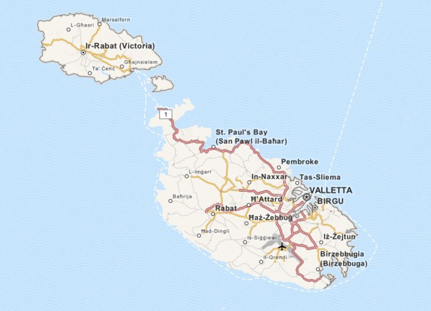
Until 1530 Malta was an extension of Sicily: The Normans, the Aragonese and other conquerors who ruled over Sicily also governed the Maltese Islands. However, it was the Knights of St. John that formed the island as we see it today.
The Knights of St. John established a vast network of hospitals and fortifications throughout the pilgrim routes from Europe to Jerusalem. This network lasted over 200 years until the Siege of Acre in 1291 when the Muslims forced the Christians from the Holy Land.
The Knights eventually landed on the Greek island of Rhodes and soon transformed themselves from an army to a naval force. They were a brutal and marauding horde wearing their monastic uniforms of black robes emblazoned with a white eight-point cross on their chest.
In 1552 Sultan Suleiman the Magnificent conquered Rhodes and expelled the Knights. In 1530 the Holy Roman Emperor Charles V gave them a new home on Malta, at that time, part of the Two Kingdoms of Sicily, all for the annual stipend of one falcon.
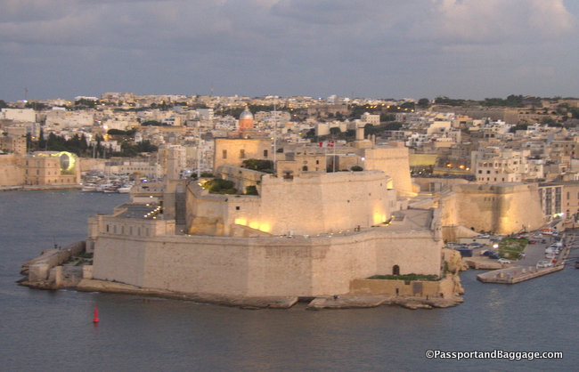
The Knights chose to settle in Birgu renovating the partially ruined and abandoned Fort St Angelo (Castel Sant Angelo) making this the primary fortification. After the renovation, it became the seat of the Grand Master.
In 1565 the Turks once again laid siege to the Knights, known as the Seige of Malta it lasted for months and is remembered for the fierce fighting and the atrocities committed by both sides. The siege ended with the defeat of the Turks, but it left only 50 of the original 7,000 Knights of St. John alive.
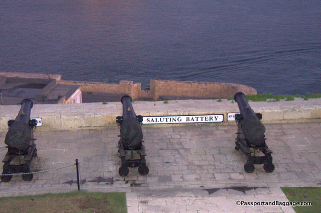
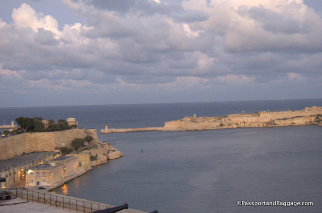
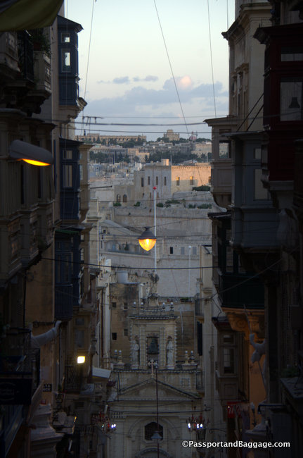
In the aftermath of that siege, the Knights built the fortified city of Valletta on Mount Sciberras on the other side of the Grand Harbour, and the administrative center for the knights moved there
Valetta is named after Jean de la Valette, Grand Master during the siege. Valletta was laid out on the Renaissance model of an ideal city. The principal architect responsible for the design of many of the buildings was Malta born, Rome educated, Girolamo Cassar. The buildings suggest the Christian ideals of sobriety and military discipline and are made of rusticated stones sitting on streets laid out on a grid.
The British ruled in Malta from 1800 until 1964 when Malta became independent. The Maltese adopted the British system of public administration, education, and legislation and English is spoken by most everyone on the island.
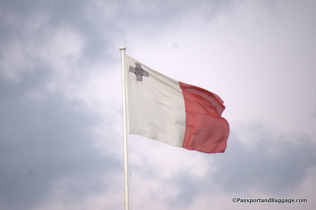
Modern Malta became a Republic in 1974, joined the European Union in May 2004 and the Eurozone in January of 2008.
*
*
*