June 2022
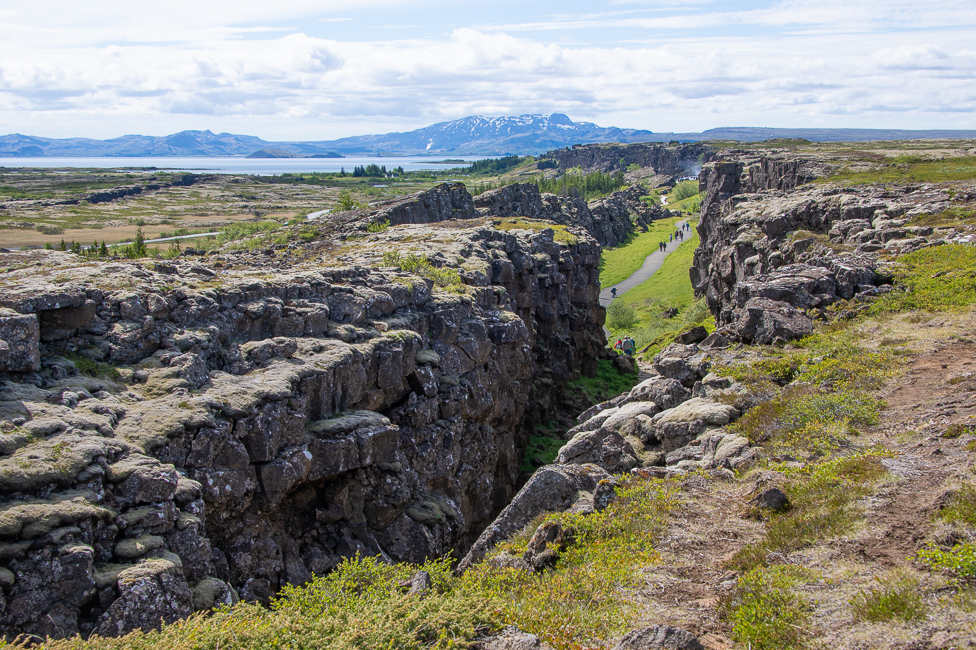
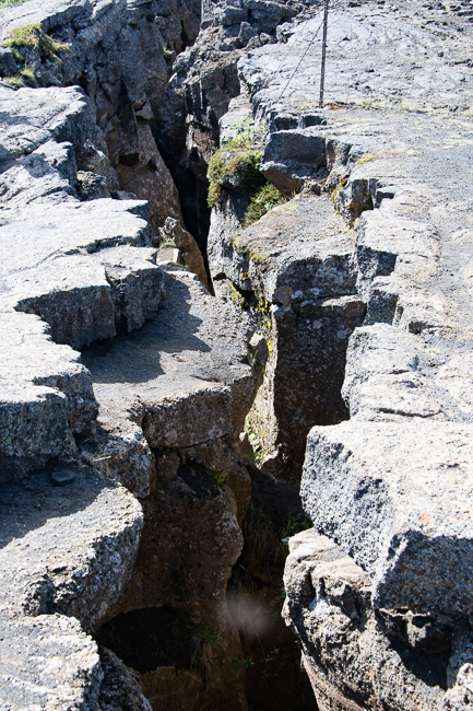
Iceland is located on the Mid-Atlantic Ridge where the North America Plate and the Eurasia Plate drift apart. Essentially, due to the drift, the crust at the plate boundary is gradually stretched until it fails. Then magma rises to the surface to fill the gap. The drift is about 2 cm per year, approximately the rate your fingernails grow.
The plate boundary crosses the entire country.
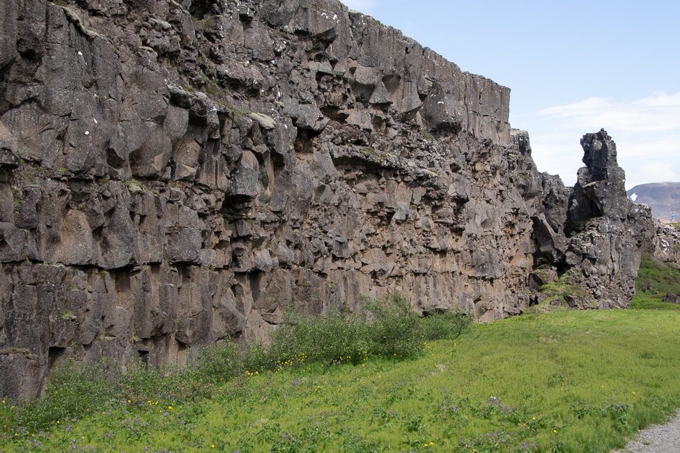
Iceland is the only place in the world where this rift is above sea-level, and nowhere can you see the edges of both plates as clearly as in Þingvellir. This is a rift valley, created by the pulling apart of the two plates.
Grjótagja is a rift with hot water. It was once a popular bathing site, but due to disturbances in the earth that occurred between 1975 and 1984 the water became too hot for bathing.
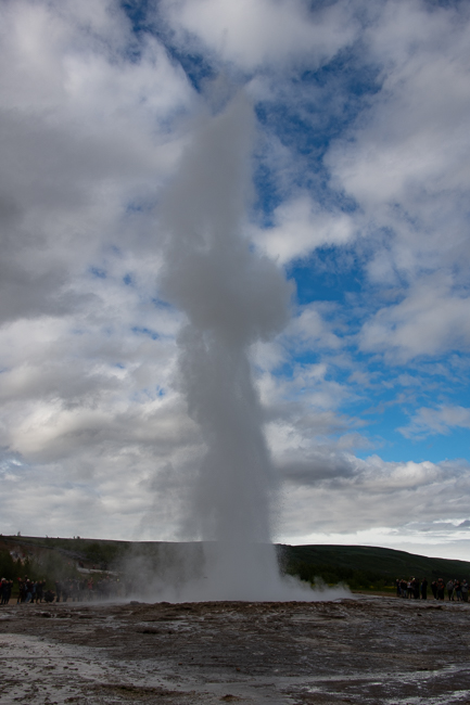
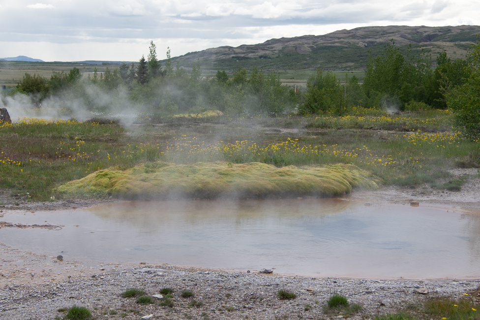
Strokkur is a fountain-type geyser located in a geothermal area of Iceland. A geyser is where ground water beneath the surface is heated up until it explodes into boiling water and steam. Geysers almost always occur in regions close to a volcano.
The geysers around Stokkur are the only erupting hot springs in Europe
Krafla
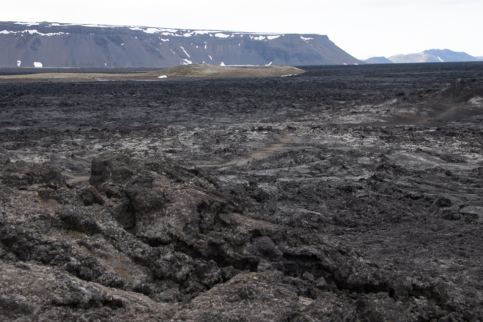
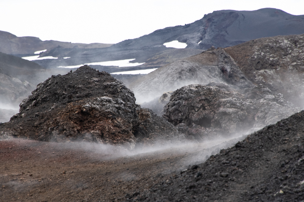
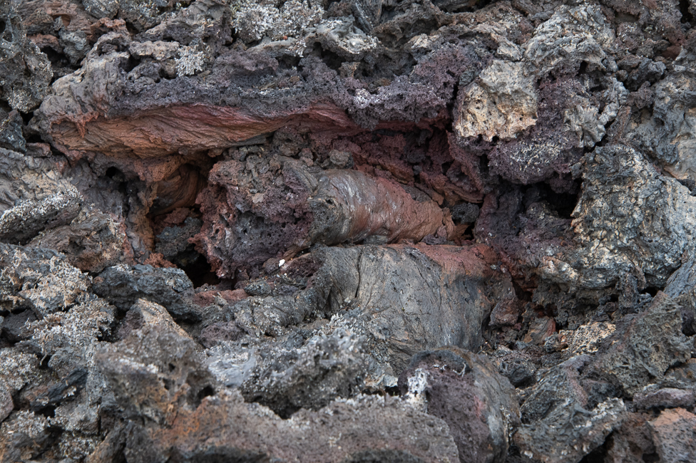
The Krafla zone is made up of three sites. Leirbotn, the geothermal power plant, Viti Maar, a volcano crater whose name means “Crater of Hell” and Leirhnjukur with is a large terrain of nothing but black volcanic lava fields and bubbling sulfuric pits.
The area is one of the most active volcanic regions in Iceland. In 1975, a series of events known as the Fires of Krafla ran on for 9 years. Thus far this stands as the largest volcanic eruption in Iceland’s modern history. Today the area is not much more than steaming vents, scorched earth and bubbling mud.
 *
*
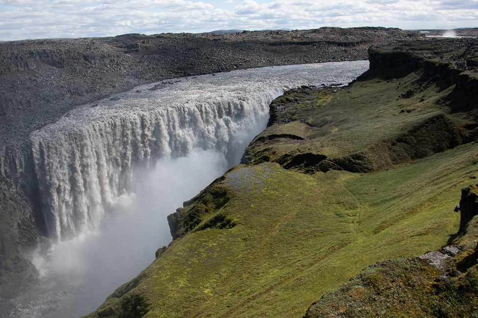
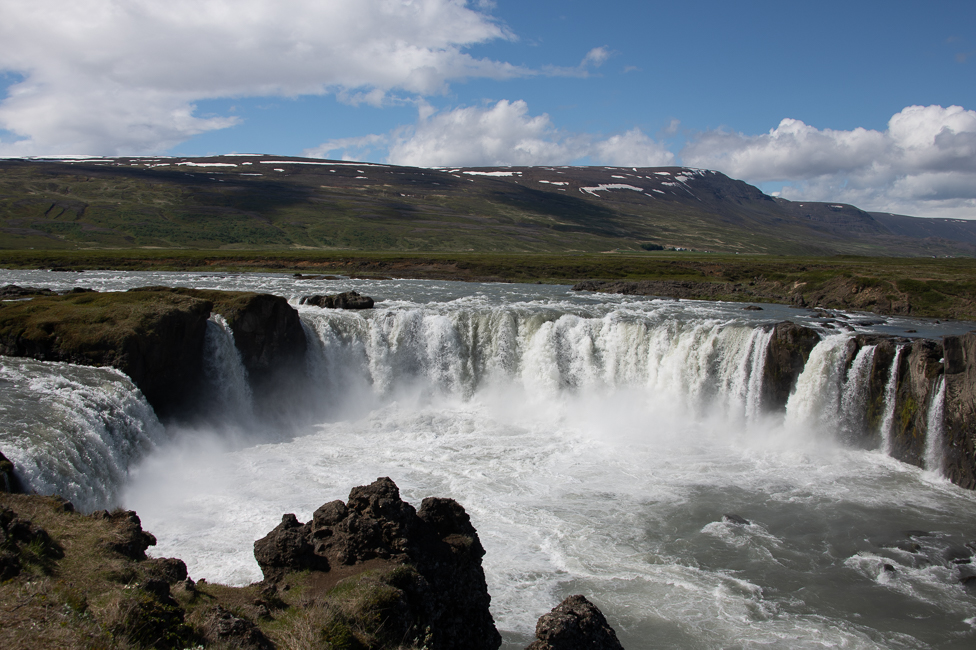
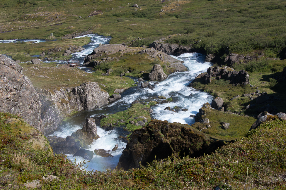
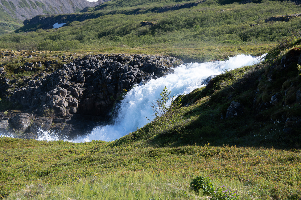
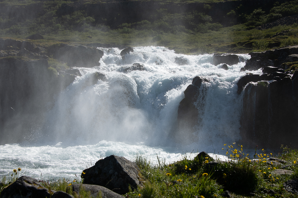
Waterfalls
Running water and waterfalls in Iceland are so ubiquitous that discussing them seems rather silly. There are many that are on the “standard list” of things one must see, and they are rather wonderful. However, a few stood out.
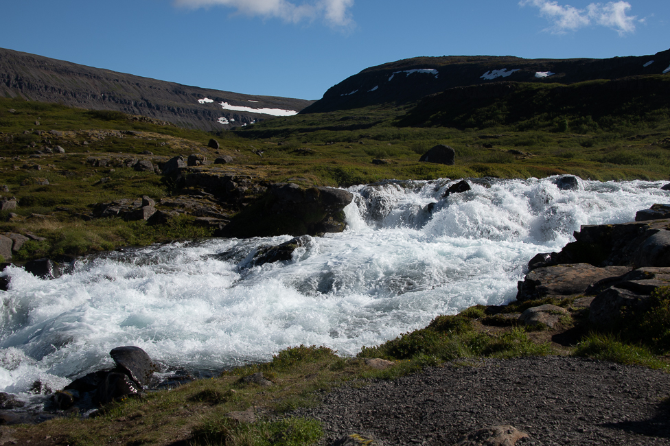
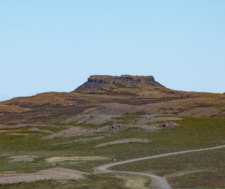
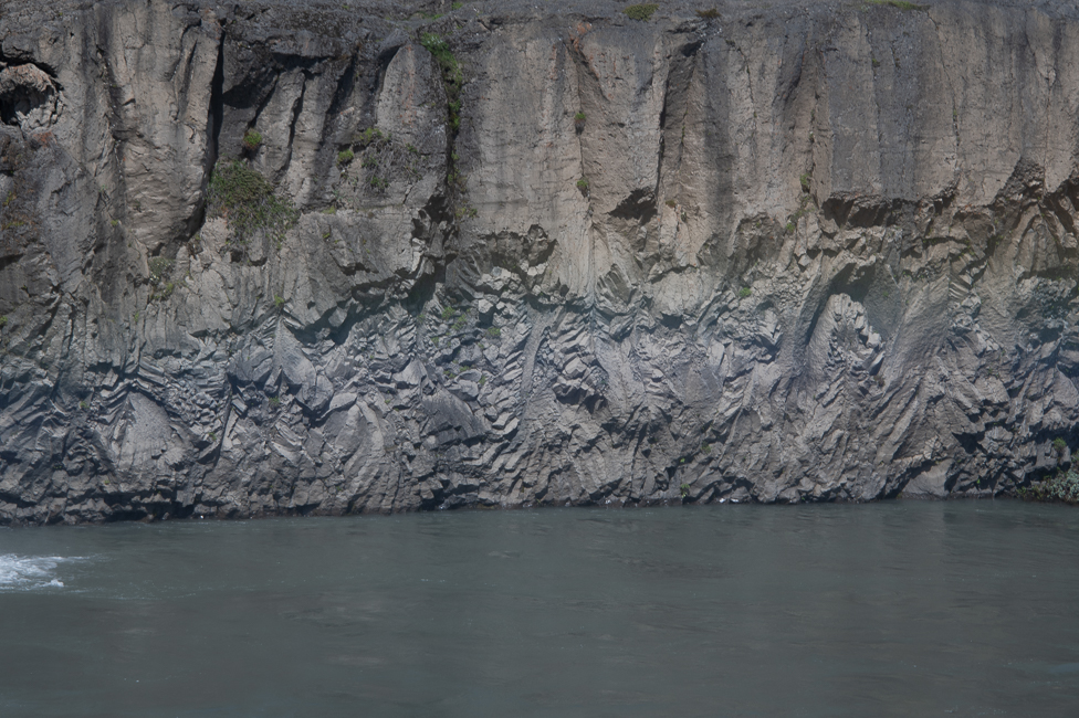
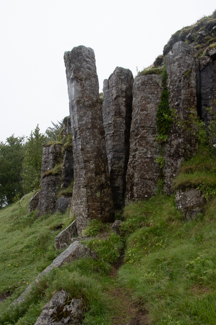
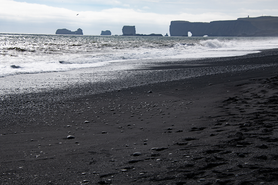
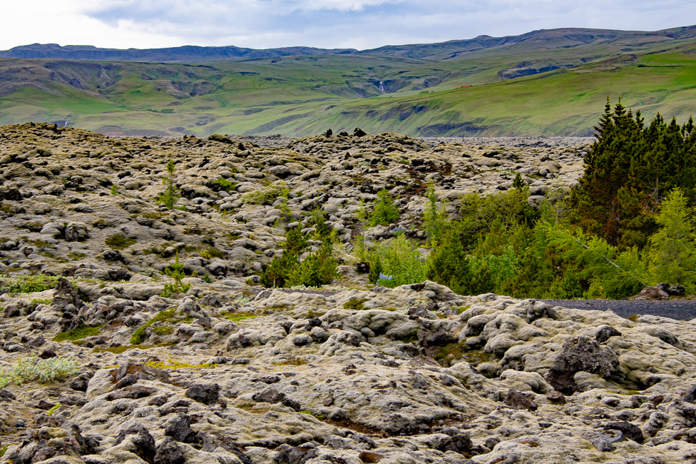
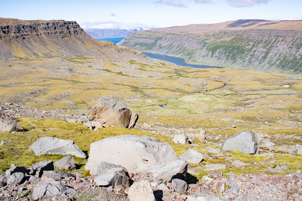
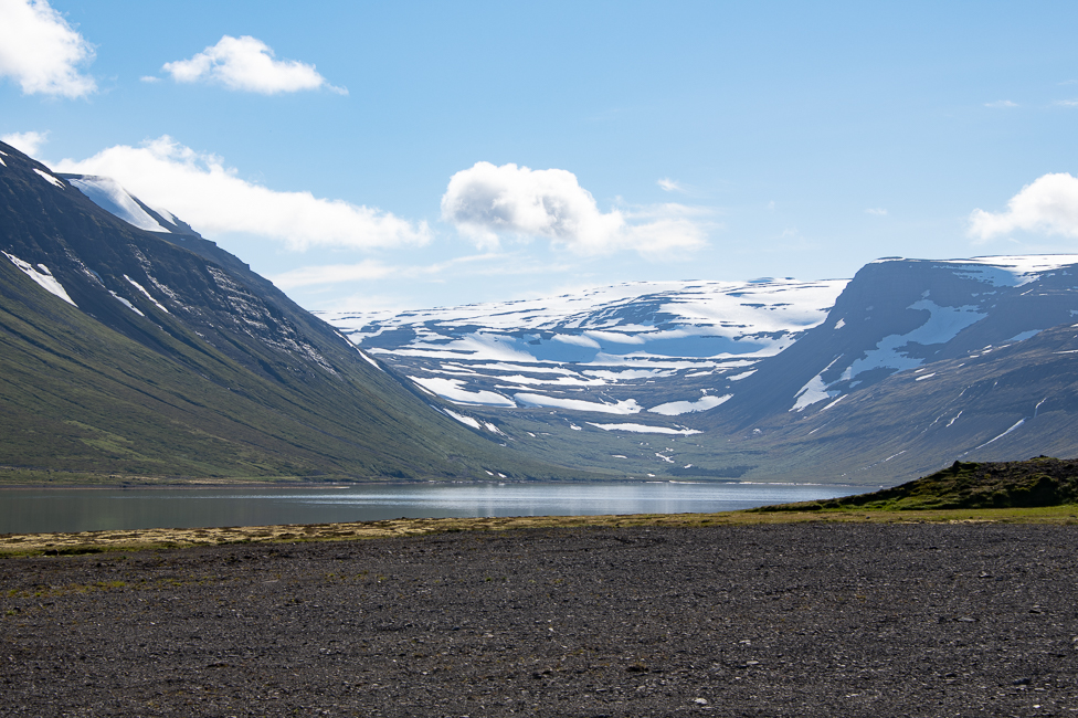
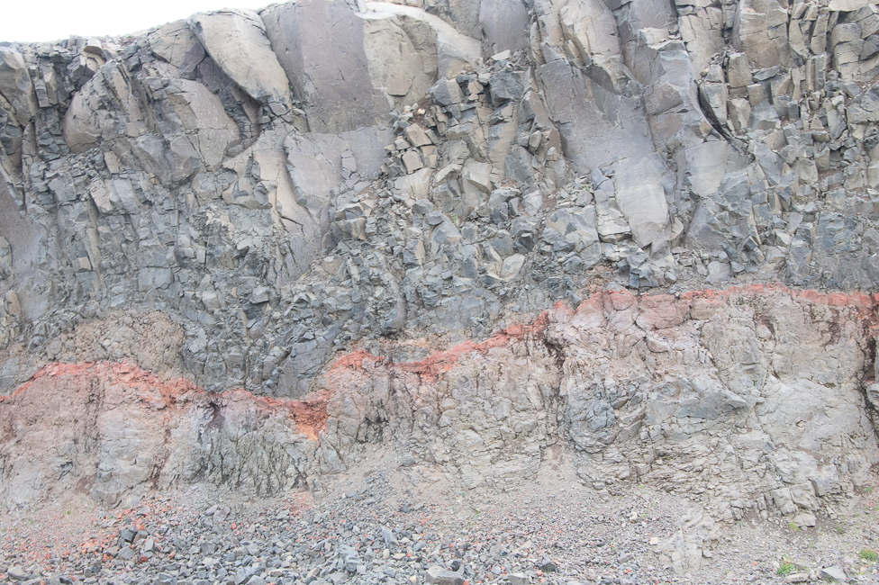
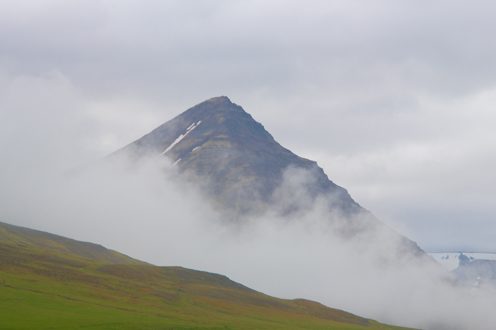
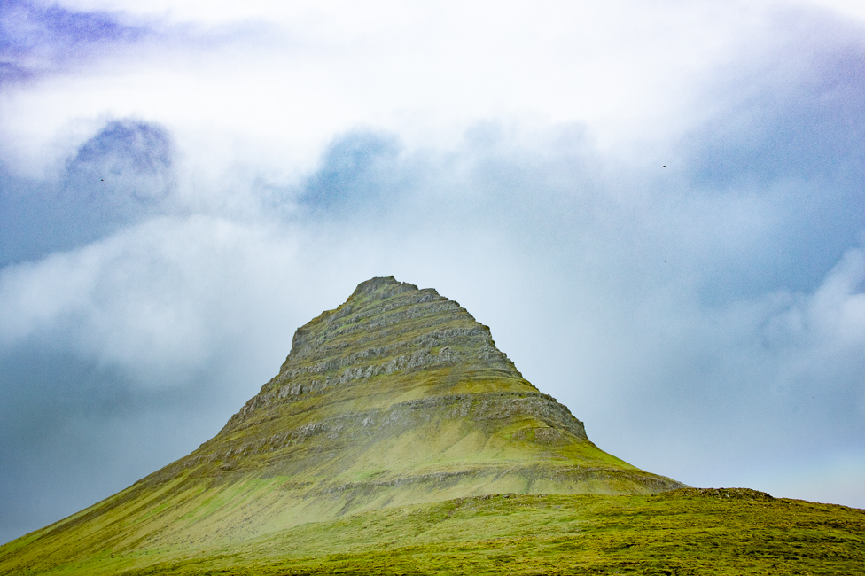
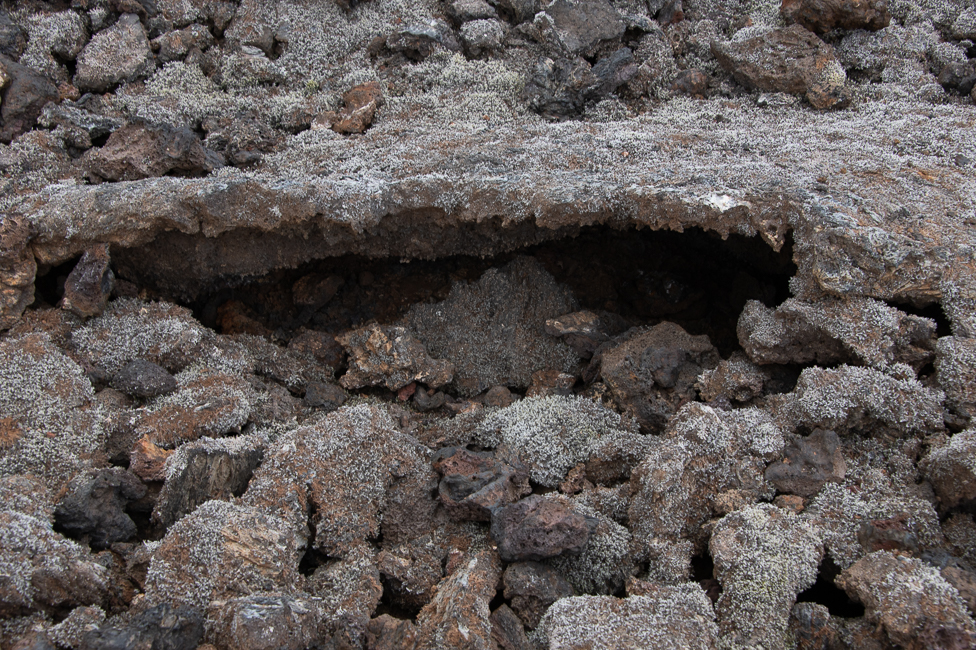
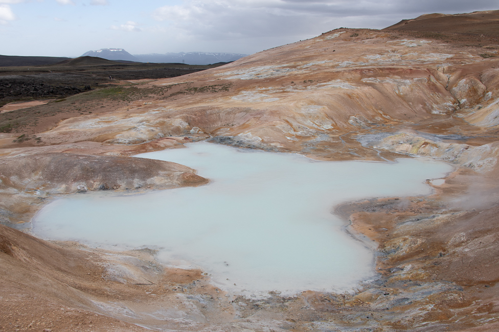
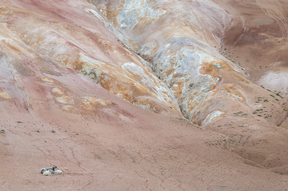
I have already covered the skeidararsandur portion of Iceland as well as the glaciers, just part of Iceland’s geology that is so overwhelming. I am at a loss to present it so here are some random shots from all over the island that show its immense diversity.