Jun 082022
 

June 2022

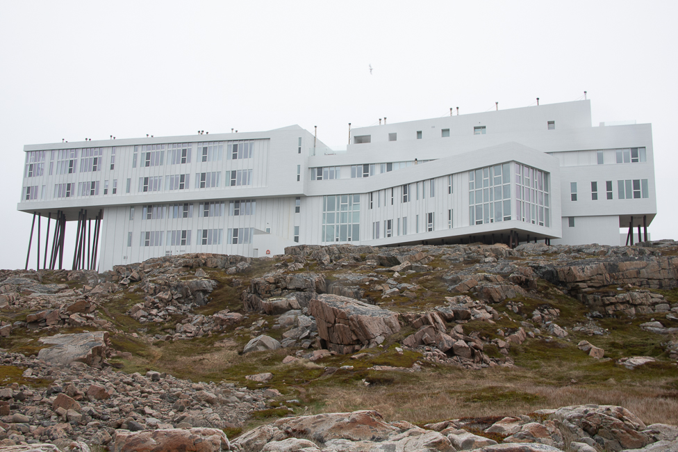
I saw a picture of the Fogo Island Inn in 2013 when it was completed, right then and there I knew I had to visit.  It took a while but I finally had a chance to stay at the Inn.

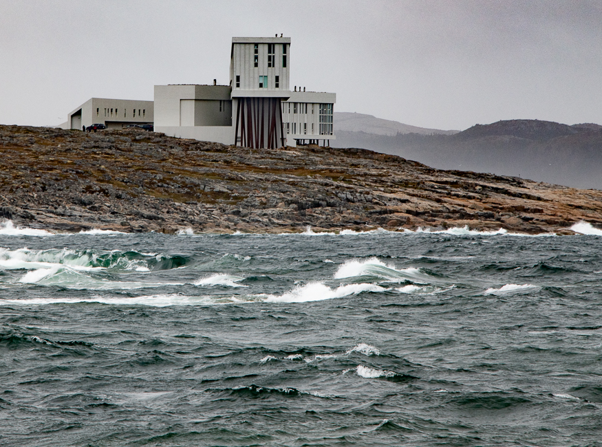
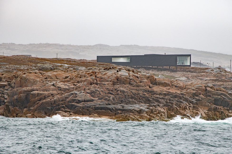
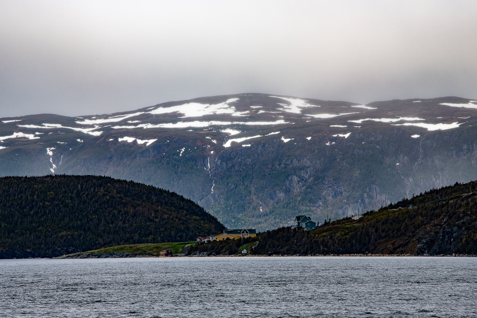
The most beautiful way to see the building is from the water, to photograph it close up does not do it justice, but that is the best I could do.

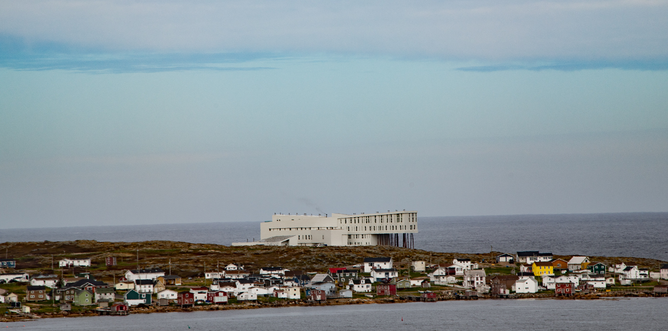
A shot of the Inn from across the bay

The Inn was designed by a Newfoundland born, Norwegian based architect Todd Saunders.  The project was the brainchild of Zita Cobb founder of Shorefast, a non-profit foundation helping to maintain the culture of Fogo Island.

The profits made from the inn are reinvested into the local community, helping to strengthen the once struggling economy.

A view of the Inn from the town of Tilting

Before the construction of the Inn, four artist studios were constructed as a part of Shorefast’s mission to develop the island as an ecotourism destination and to diversify the local economy which is so heavily dependent on cod fishing.  An industry that is not terribly fruitful in this day and age.

The Fogo Island Inn website has stunning pictures of the area as seen year round, and there are hundreds of travel blogs out there about the stay.  It is an incredible place to stay, the rooms are unique, the food wonderful, and the people gracious to a fault, but I just want to concentrate on the architecture.

The weather was bleak during my visit, so only a few photos will have to tell the story.

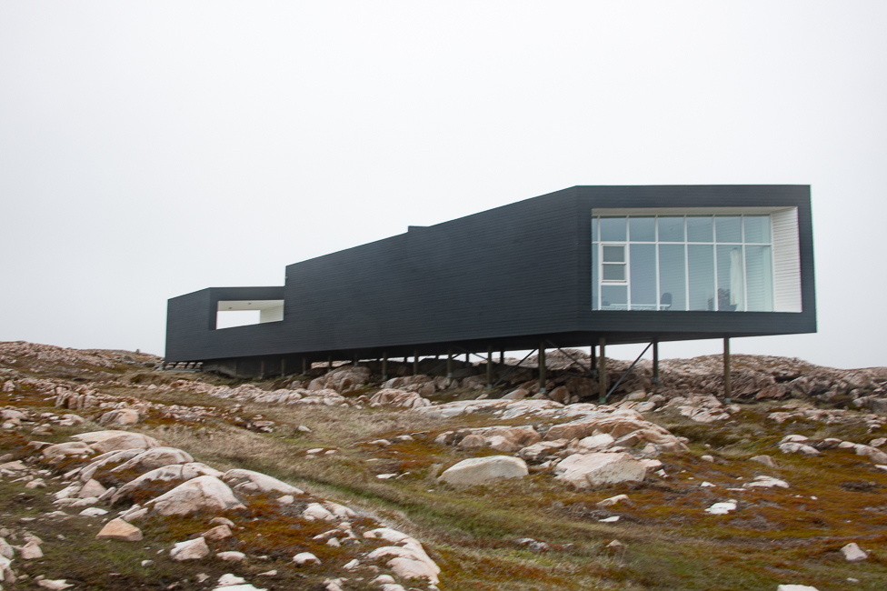
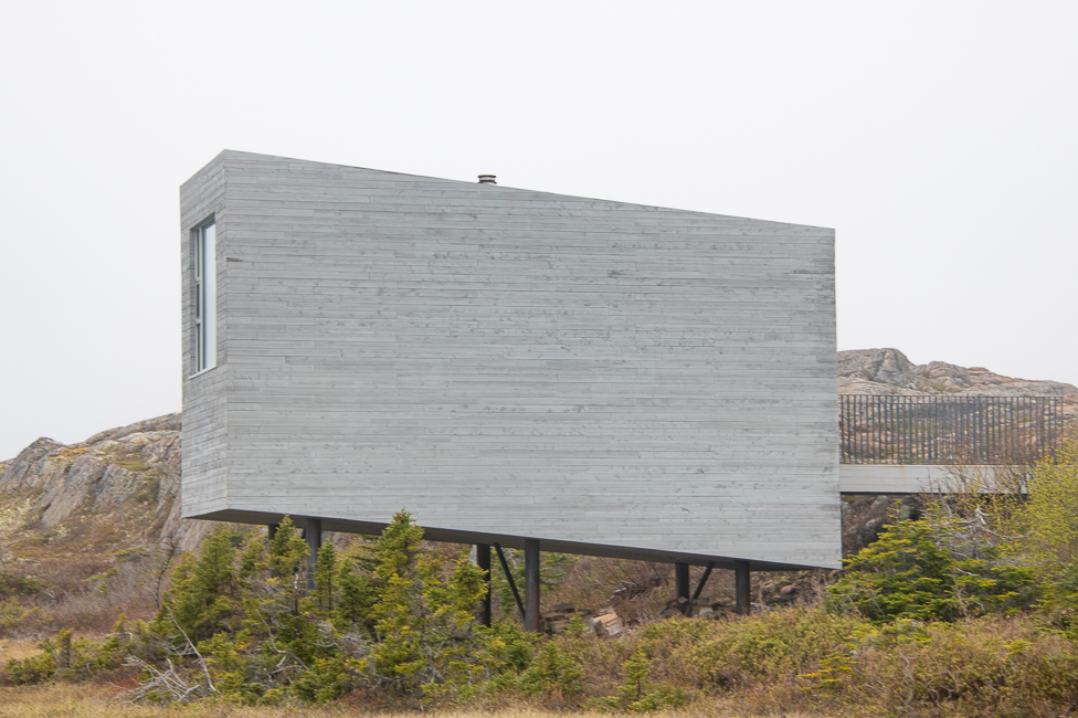
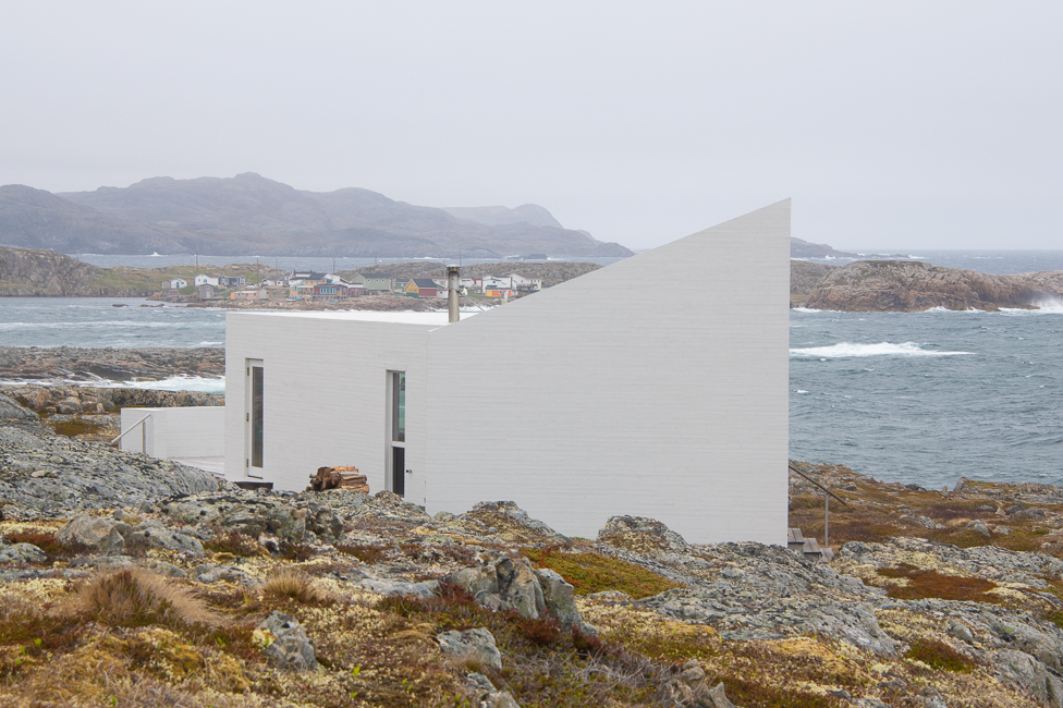
The first studio, Long Studio, was completed in 2010.  This was probably my favorite, the massing on this barren land was perfect. It was built specifically to give the locals an understanding and prepare them for the unique architecture of the Inn.

*

*

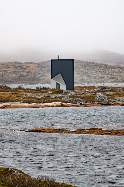
Tower Studio

Tower Studio, located in Shoal Bay has a loft, rooftop terrace, and a long boardwalk path to the main road, which was under construction when I tried to visit, so I had to settle for a view from afar.

Bridge Studio

Bridge Studio, located in Deep Bay is a hike of about 10 minutes to get to, and sits looking out at a small lake.  I wish I had been able to see inside, but the curtains at the front door were drawn.

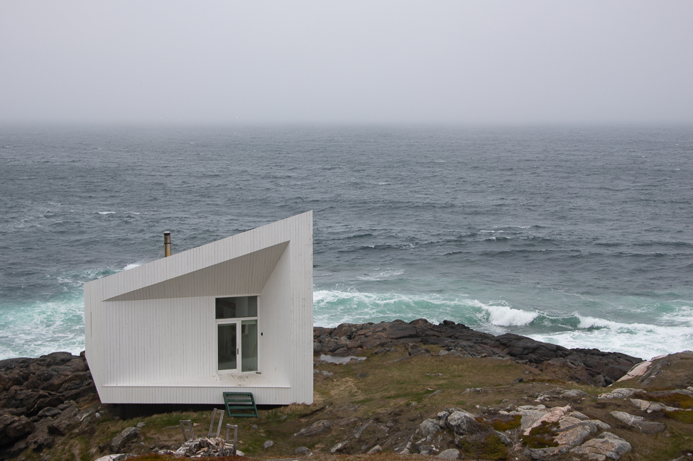
Squish Studio

Squish Studio sits on a rocky strip of coastline just outside the small community of Tilting. By the time I had gotten to this studio, the wind was howling and the temperatures had dropped considerably.  I settled for a photo from afar.

The Shed

The shed has various uses, but one use is a crab dinner around a communal table.

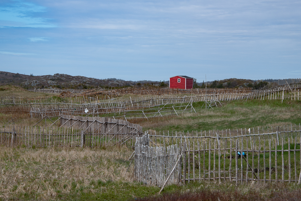
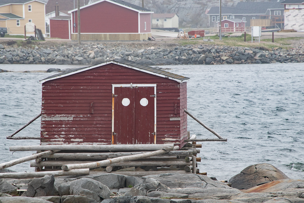
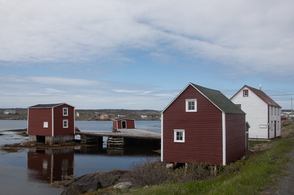
It is said that most fishing stages on Fogo Island, particularly those located at the end of a long bridge, have a large white dot painted on the door, to help guide fisherman safely to their stages in the dark of night.  I think that it was probably something someone did, everyone thought it cool, and it just became a thing.

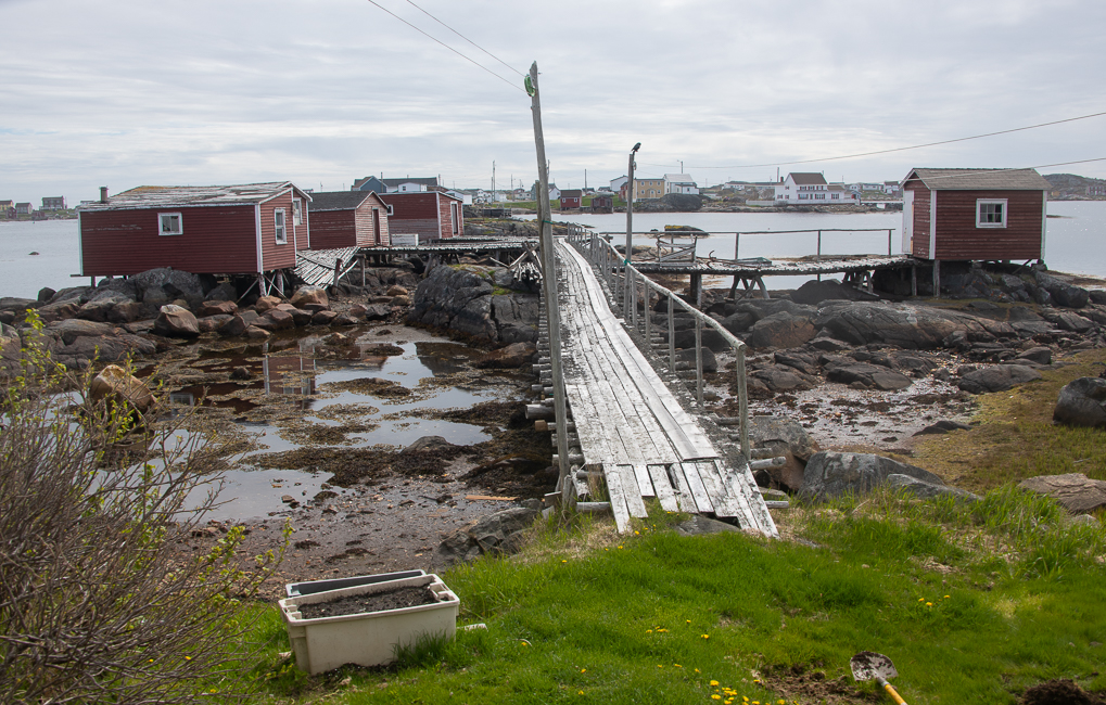
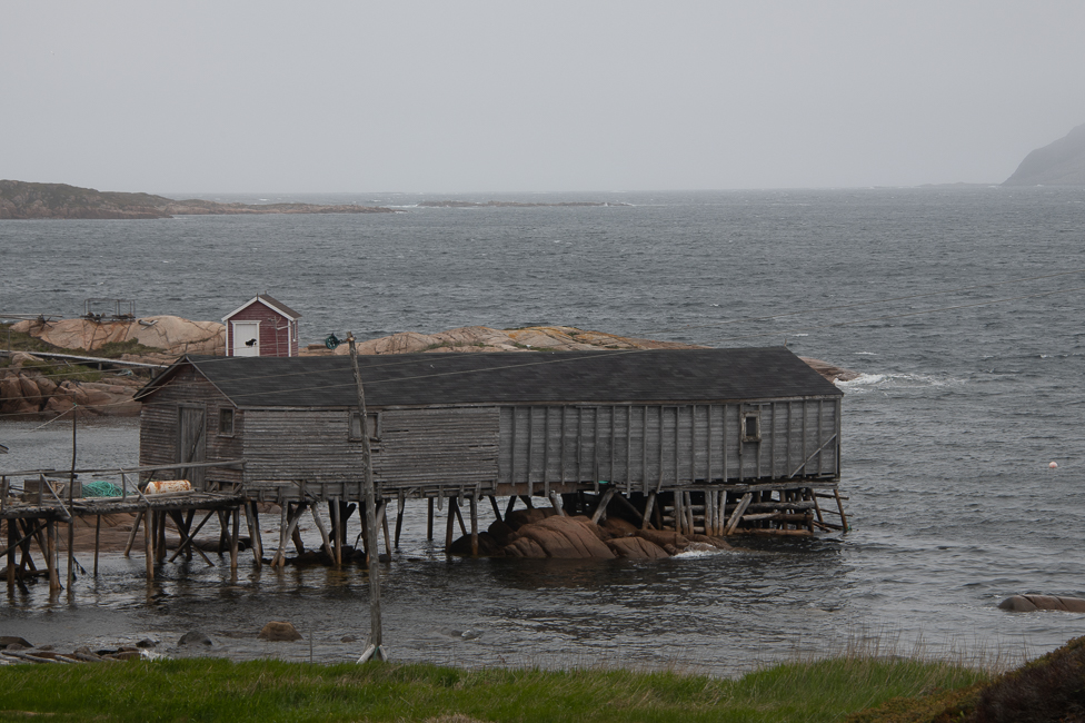
Fish sheds are where the cod was brought in and the production of salt cod took place. They had to be far out in the water to accommodate a loaded boat, so these long walkways were the only way to reach them.

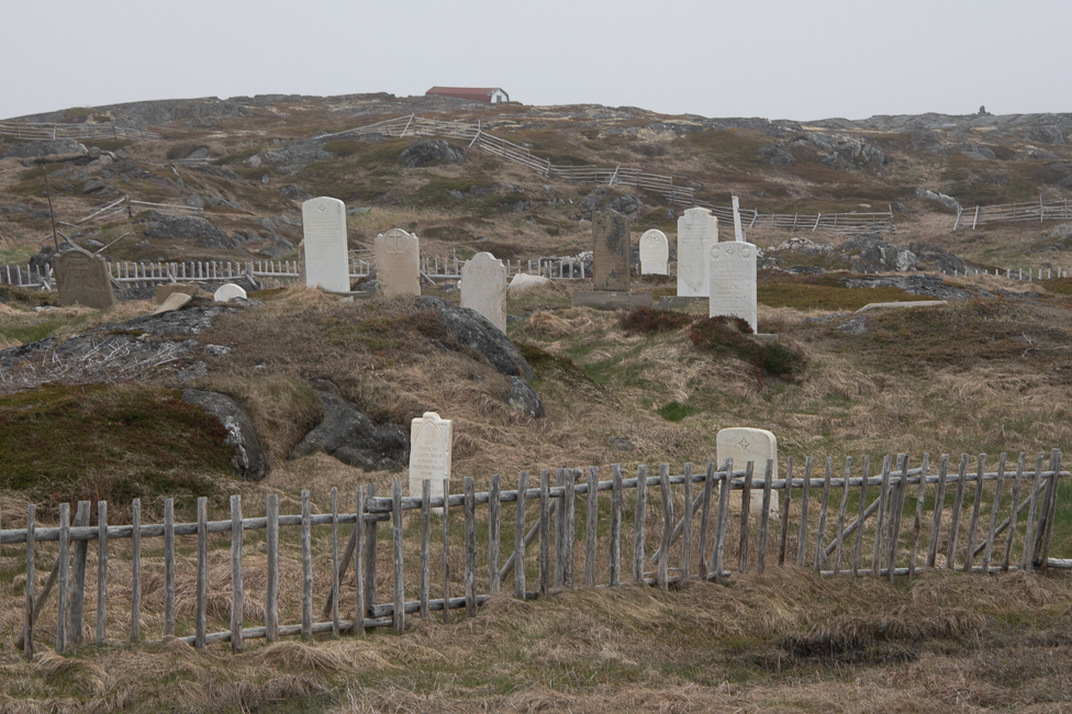
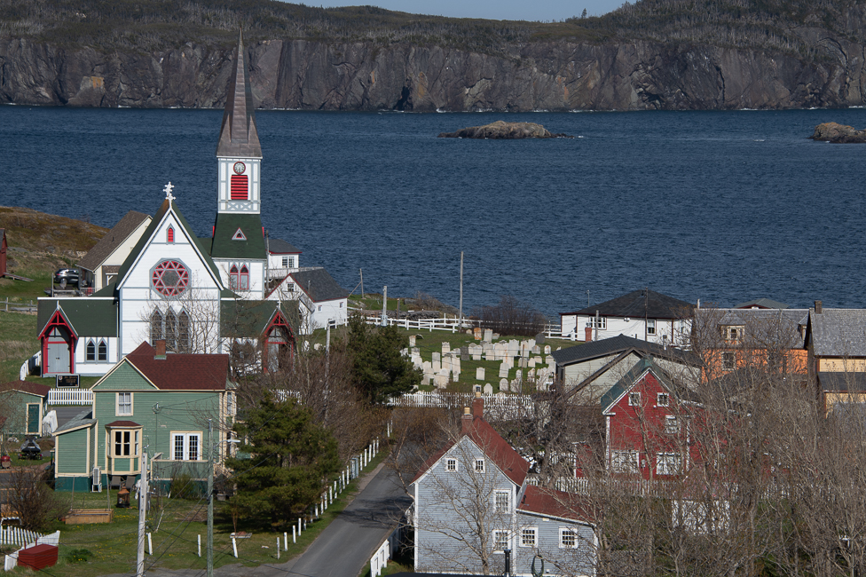
There is a long history of the Irish in Newfoundland.  They came here many years before the potato famine, and thus before they ever arrived in New York.  This is the oldest Irish cemetery on the island dating to the 1700s.

Foley’s Shed

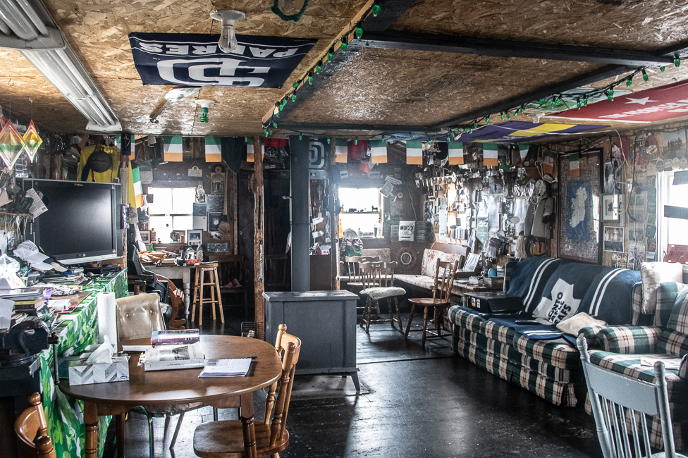
Located in the National Historic District of Tilting, The Shed is a lovely representation of the Island’s distinct Irish culture and hospitality. The Shed, known colloquially as “Phil’s shed,” belongs to Fogo Island-born Maureen Foley and her husband Phil Foley.  The shed hosts guests and there are shed parties, which according to the owner are just like house parties, but in a shed.  There is also an annual pub crawl in September, that I am sure is not only a lot of fun, but rather raucous too.

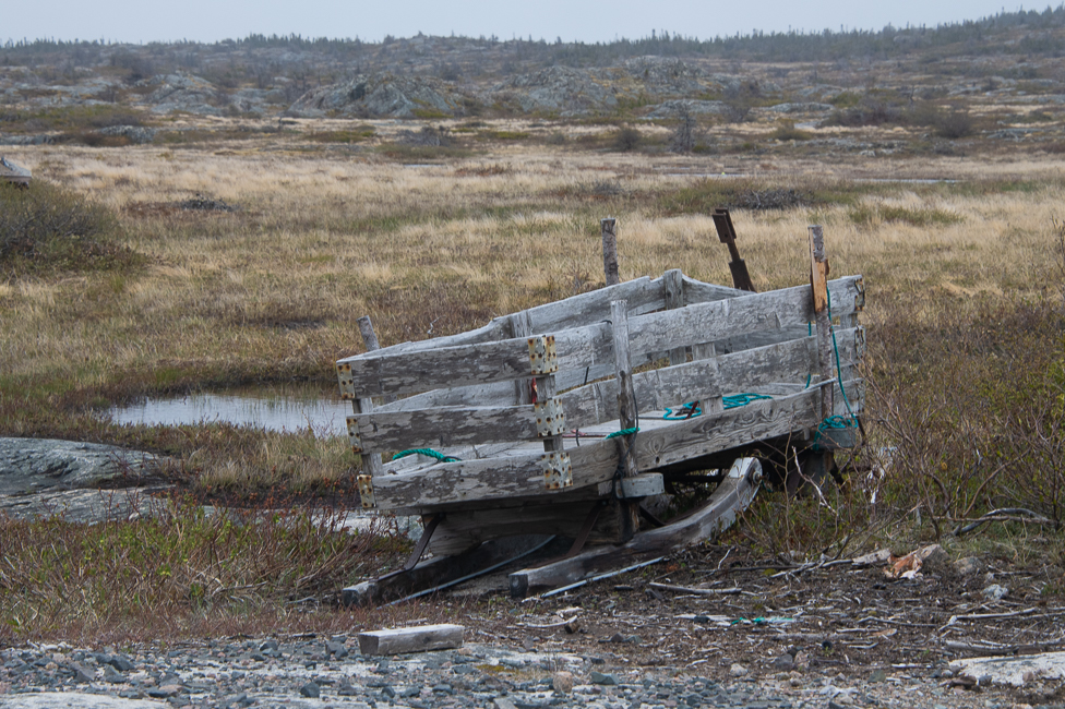
Sleds used to haul firewood

*

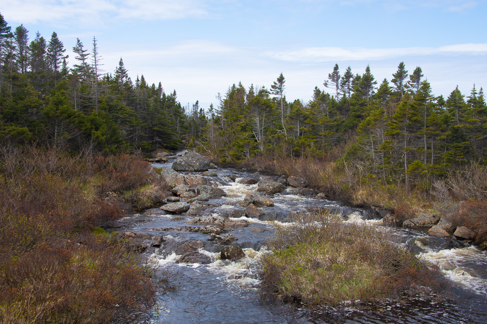
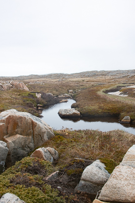
Fresh water in Tilting

These were gardens in older times, many locals are beginning to bring them back planting interesting new crops.  This is in the town of Tilting, and these gardens are specific to the town and the Irish culture.

*

It took a long time to finally get to Fogo Island, and it is a lovely place.  It is horribly expensive, and I am still wondering if it was really worth it.  I came thinking I would see things I did not, like ice floes and whales, but I walked away with a wonderful understanding of the cod fishing industry, how it has effected the livelihoods of the islanders, and how they grew up when it was a thriving business.  The local people I met, their kindness and openness was worth so very much more than anything, and the true highlight of my visit.

A special thanks to Claire, Martin Foley and Paddy Barry
Jun 042022
 

June 2022

Making Fish (drying fish) by Jim Maunder

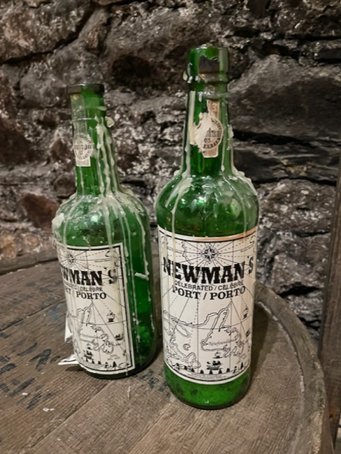
Cod is such a huge part of Newfoundland’s history, and some of it is tied up with Port wine from Portugal.

After his voyage in 1497, John Cabot’s crew reported that “the sea there is full of fish that can be taken not only with nets but with fishing-baskets.”

The Newmans of Dartmouth England had been traders for generation.  By the middle of the 1500s the family had taken advantage of this plethora of cod fish and centered its trade in Newfoundland on fish. By the late 1600’s the family had  established a classic shipping route, wine to Newfoundland, cod to Portugal.

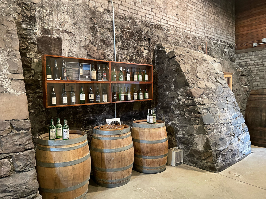
For many years Newmans utilized a particular set of caves for their storage, now it is a museum and tasting room. Who constructed these “caves” is unknown, it is thought it was the British built them as bunkers, but there are no records to date.

This is what I love about traveling.  Last summer I was in Portugal and learned about the trade of Port from its creation in the Duoro Valley, to its shipping to England from the town of Oporto.  I had no idea there was a connection all the way across the ocean.  History is so glorious in its twists and turns.

Cod fishing in Newfoundland was simply done at a subsistence level for centuries, but large scale fishing began shortly after the European arrival in the North American continent in 1492

Around 1600 English fishing captains still reported cod shoals “so thick by the shore that we hardly have been able to row a boat through them.

Cod fishing was a family business, when the men returned home, the entire family helped cure the catch. The family would work together to remove the cod’s head, spine, and guts before salting the fish and laying it out on wooden flakes to dry in the sun. The drying process could take weeks and the family had to bring the product inside whenever it rained.

The cod sheds are interesting pieces of architecture and function.  The tail and head were cut off and sent down a chute back into the ocean.  Then the fish was split and the bones taken out, those went through an opening in the wall and into the ocean as well.

The sheds were always built attached to rocks.  The support poles would often freeze in the winter and if they broke, the shed could float out to sea, so the rocks grounded them to the land.

A cod shed where the preparation for salting took place.

Approximately eight million tons of cod were caught between 1647 and 1750, a period encompassing 25 to 40 cod generations. In 1951 factory fishing began using super-trawlers.  The cod catch peaked in 1968 at 810,000 ton.

Due to over fishing, the Canadian Government banned cod fishing in Newfoundland in 1992 thus ending more than 500 years of cod fishing in the area of Newfoundland.

The ban put an estimated 30,000 people out of work causing an exodus of people from rural Newfoundland. It was the single largest layoff off of work­ers in Canadian history. Some social scientists say more than 70,000 people have left the bays, coves and outports of the province since. Today recreational fishing is limited to 5 cod fish per person, and 15 per boat.

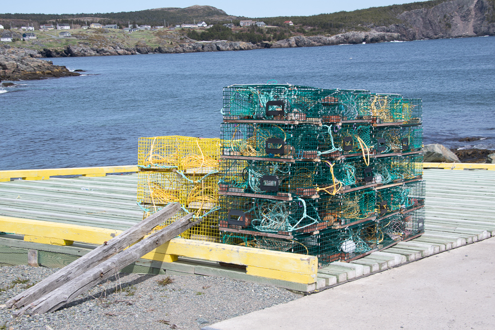
Lobster Traps

The cod trap is the most cost and labor efficient method  for cod fishing. It was developed in the late 1860’s by Captain William H. Whitely, a Newfoundland fishing skipper operating off the coast of Labrador.

The fisherman I met on Fogo Island, however, told me it was a local fella, sitting in church, thinking of fishing and not the gospel, who invented the concept.

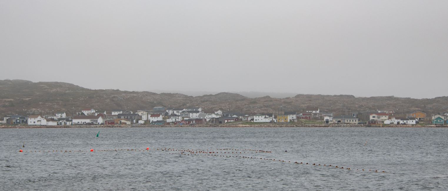
A cod trap. The fish are lured in along the net, called a leader, and then get ensnared in the big net where you see the three orange buoys.

The system for using cod traps is rather detailed but for the sake of brevity I have whittled it down. The cod trap is basically a room, with four walls and a floor, constructed of netting. Fish enter the trap through a doorway in the front wall. Extending outward from the centre of the doorway is a long wall of netting to hold the caught cod.

These are no longer allowed, and the above was put out by a father and son that I met, to show people what they would look like.  The son, had never done it before and said, that even one without a net (this one did not have one), the work was really hard, he had no idea how he would have managed to do it with the nets attached.


May 312022
 

May 2022

Sometimes you have to complete a journey to realize it might not have been the best idea.  I decided to drive from Bay of Fundy to my final destination in Newfoundland.

So far it has been an interesting experience.  It began with a 7 hour ferry ride from Sydney Harbor, Nova Scotia to Port Aux Basques in Newfoundland.  The ferry was fascinating and truly enjoyable.  It is absolutely huge, and carried many fully loaded semi trucks.
Once I landed at Port Aux Basques, I was headed to my first destination in Norris Point which sits on the edge of Gros Marne National Park.  This was a 4 hour, or 210 miles drive.    This is where I wondered if I should not have simply flown to one of the airports in Nova Scotia.

Canadian Road, and yes, this one does have lines, but take a look at the potholes

The roads are horrible, bad is not a strong enough word.  Now, considering the freeze thaw cycle in this part of the world, truth is, the fact that there even was pavement is rather astonishing.  Then consider tractor trailers and chains, you have ruts right down the middle of the road, which happily fill with water in the rain, making driving rather challenging.

Having said that, Canadian highway construction standards vary considerably among provinces and cities. In much of Newfoundland and Labrador, the Trans-Canada Highway system is still in its original two-lane state.  Maintenance varies as well.

The view never changes either, no wonder these people are famous for lumber, the trees were miles deep.

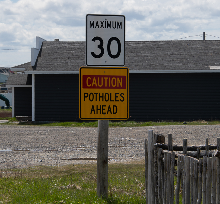
The Look for Moose signs were adorable but not anywhere near as prevalent as Watch for Potholes, I assume that is the maintenance program for the roads.  On a regular basis, after swerving to miss potholes my rental car would flash a coffee cup and say maybe I should take a break.  That at least entertained me.

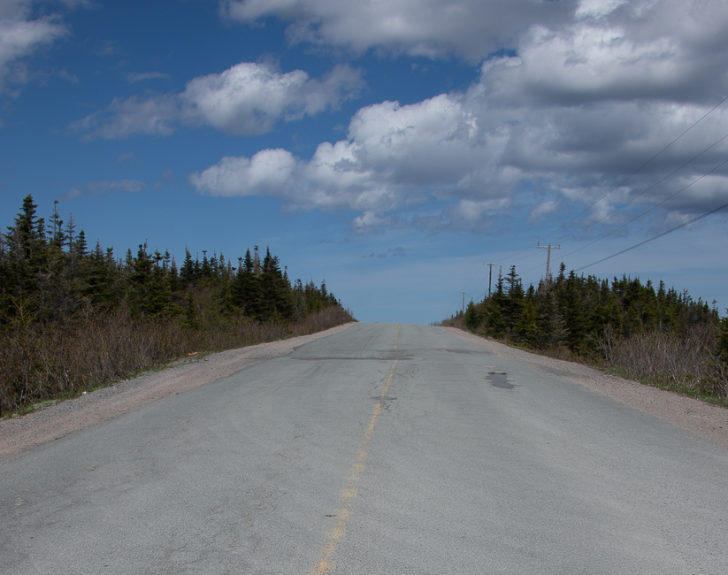
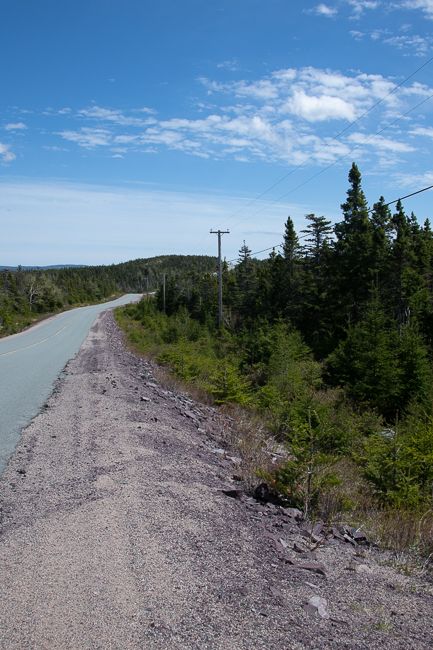
I took this picture while driving one of the side roads, I could not possibly have pulled over for a photo on the Trans Canada Highway

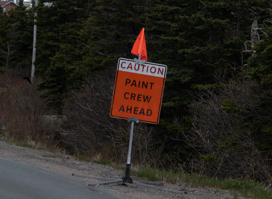
A large part of Trans Canada Highway in this area is not divided, although it is easy to differentiate between the different directions.  What is completely lacking is paint.  There were no lines delineating lanes, and that was a major challenge.  After several hundred miles, I figured the system out, but when I first encountered it, in the rain, wow!

As I approached a small town, I was laughing when I spotted this, I wonder how long until they get to the Highway?

A large portion of the Trans Canada Highway is elevated, as much as 10 feet, and there are absolutely no places to pull over, so once you have committed, you are on your way.  These drops also do not have guardrails, sort of a we don’t need no stinking guardrails mentality.  I am rather sure these deep ravines  have to do with the massive amount of water that they get in the spring time, and possibly snow removal.  Snow removal may also be the reason for lack of guardrails.

This does not give a good indication of how high parts of the highway were, but you can see how little area there is on the side of the road.

On my first drive, there was nothing in those 210 miles, my eyes were peeled to the gas gauge in total fear.  Fortunately I had plenty of gas, but I have made sure that I always fill the tank when it gets down to 1/2.  I am sure my credit card company wonders why I am buying $50 US worth of gasoline every day.

I did the same thing two days later going from Norris Point to Trinity, this time it was six and one half hours and 355 miles.  There was almost nothing between those two points.  Again, eyes on the gas gauge.

Another part of my constant concern is that there are very few people on these roads, and there is no cell service for hundreds of miles.  I wish I had researched what to do if I had had a problem, as I say, sometimes it takes the adventure to learn what to do on the adventure.

I did mention that I started at the Bay of Fundy in Nova Scotia, there I drove 385 miles for 4 hours on roads that one expects, that were also well maintained.

So was it worth it.  Yes, If I had not driven, I would have missed Gros Marne and the Trinity area of Newfoundland  and this country is just spectacular the geology is fascinating, the people are beyond nice, and there is so much history here, I was very content.

Would I do it again?  Hell no!  The Ferry was $90 US and I splurged for a $47 US private cabin, as the main area is a casino and the noise was more than I wanted to contend with.  As I have mentioned, gas is $8 US per gallon.  I was told by someone that Newfoundland has the highest gas prices in all of Canada – just my luck.

Gros Marne National Park

There is so much more to Gros Morne National Park that this one photo, but the day I was there it was raining buckets and photography was not possible.

The name comes from the largest mountain in the park, interpreted from French it means “large mountain standing alone”. Gros Morne is part of the Long Range Mountains, an outlying range of the Appalachian Mountains. It is the eroded remnants of a mountain range formed 1.2 billion years ago, making it older than the Rocky Mountains.

The park is a UNESCO world heritage site, and was chosen because it illustrates some of the world’s best examples of the process of plate tectonics.

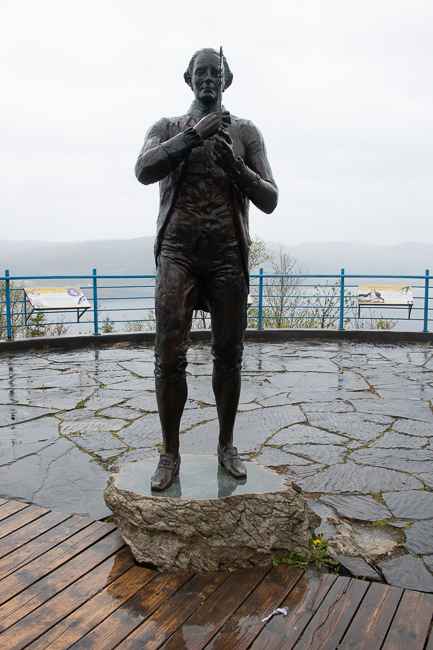
James Cook holding a quadrant

Due to the pouring rain I took a little side trip to Corner Brook to find this statue of James Cooks, British explorer, navigator, cartographer, and captain in the British Royal Navy.  I know the man for his explorations in Tahiti, but what I did not know is that he made detailed maps of Newfoundland prior to making his three voyages to the Pacific.  He accurately surveyed the entrance of the St. Lawrence River as well as surveying the southern and western coasts of Newfoundland, the coast of Quebec and Labrador.  In these pursuits he produced the most accurate maps of the area that were used for the next hundred years.

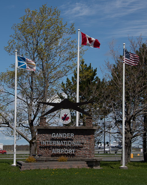
So why a picture of the Gander International Airport?  Prior to 9-11 it was already a very important site in aviation. From here, British aviators Alcock and Brown began the world’s first nonstop transatlantic flight and Amelia Earhart began many of her  voyages here.

On 9-11  38 flights that were  headed to the US landed in Gander, grounding 7,000 people.  The graciousness of the people of Gander is well known to those of us that witnessed that horrific day, and I felt a 20 minute side trip was worth the effort to see where Canadians opened their hearts to Americans on one of our most horrific days in history.

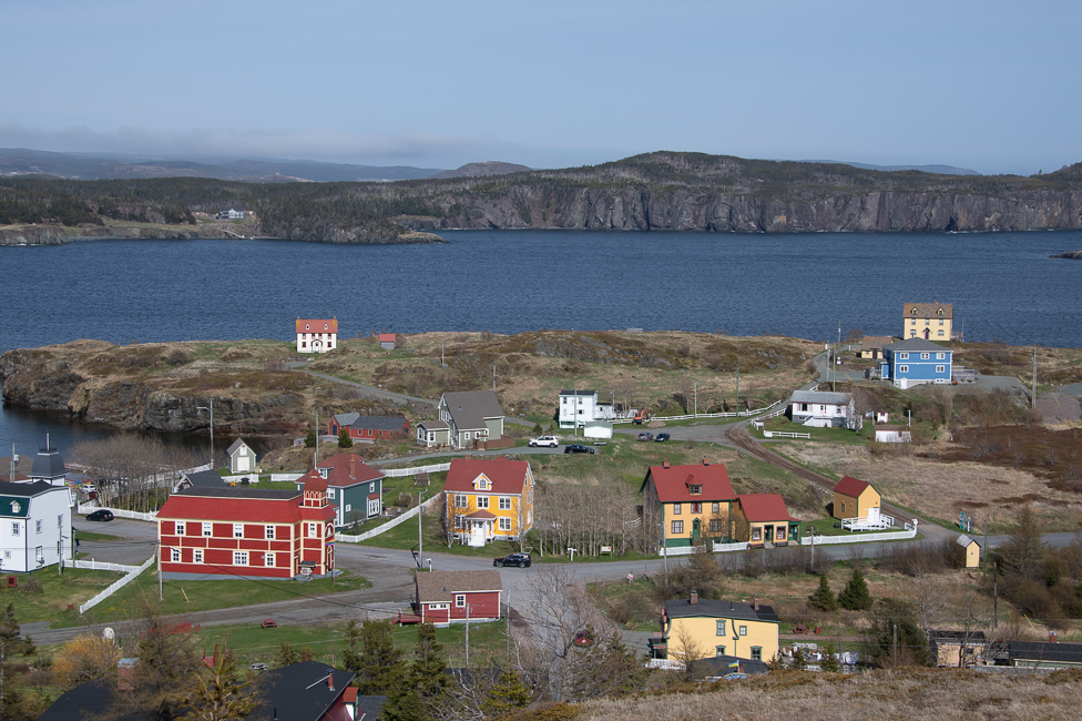
Trinity, Newfoundland

I have yet to get to my final destination, but I am nearing St. Johns, the capital of this province, and I believe there will be more civilization along the way.  Newfoundland is 144,353 square miles and the population is a mere 1/2 million with 40% of that living in St. Johns area.

This province is a vast and gorgeous, but next time I fly.