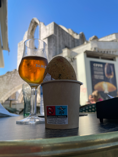
Search Results : lisbon

Nov 012021
 

October 2021


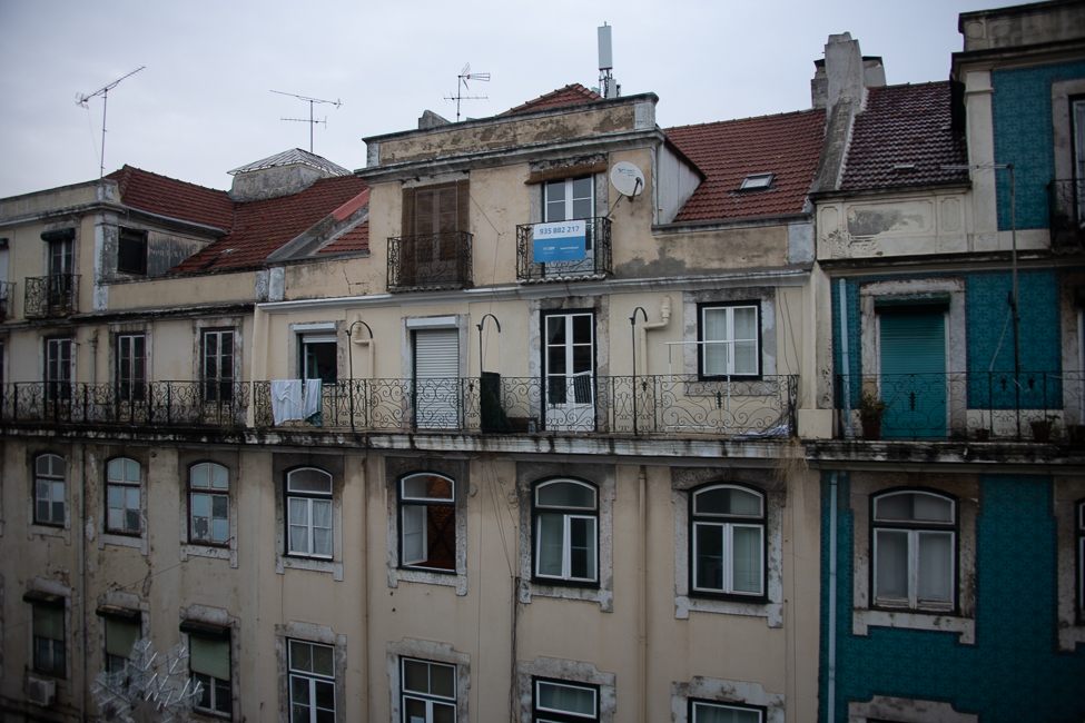
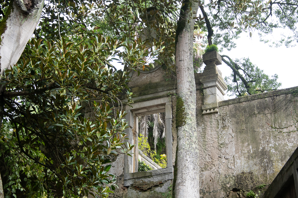
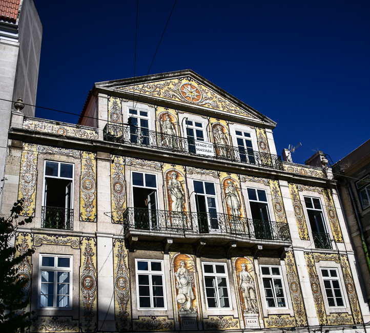
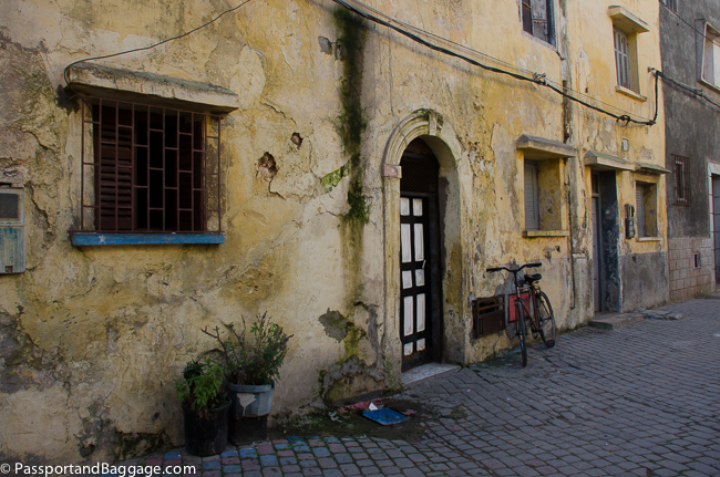
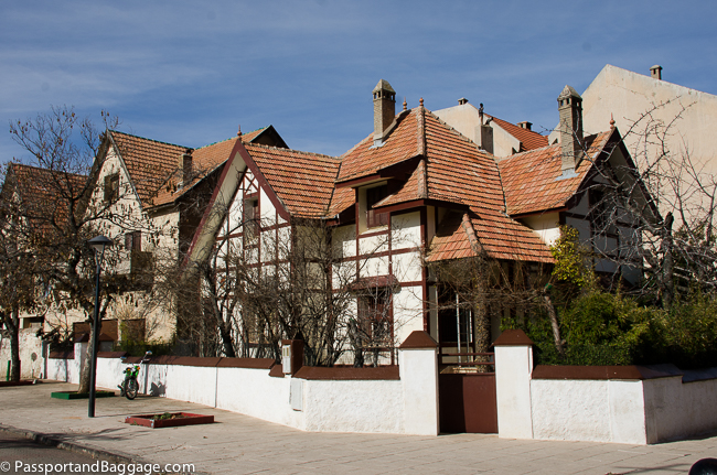
I have been wandering around Lisbon flummoxed.  I am staying at a very nice hotel in the Braixa area, but directly across the street are old lovely buildings that appear to be, not only neglected, but abandoned.

One can travel around the world and never get questions answered but thanks to an expatriate American that has been more than generous with her time, and a lot of cab drivers, I am beginning to understand.

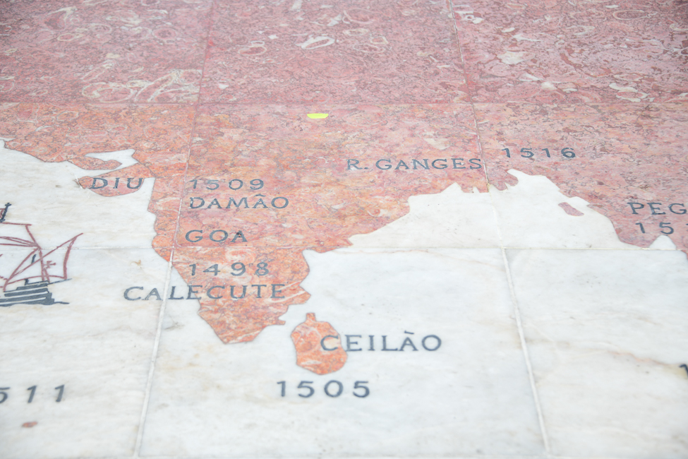
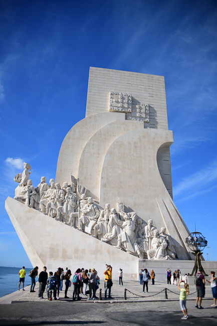
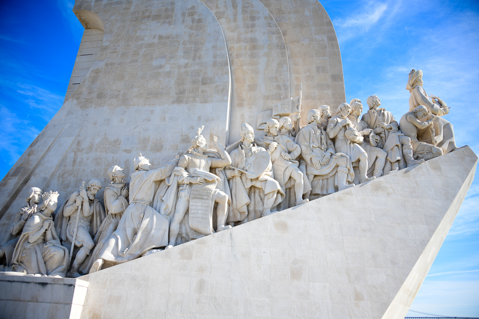
A very small section of a world map at the Monument of the Discoveries, showing all the territories conquered by Portugal

I really knew nothing of the history of Portugal, well sure Vasco de Gama is known to any school child, the horrors he inflicted, not so much. So I knew of Portugal’s colonialist period.  I have already discussed the great earthquake of 1755, but that is, as they say, ancient history.

The colonialist Portugal does not explain the abandoned buildings across from this modern, upscale hotel.

I have since learned that much of what I see can be laid at the feet of the Estado Novo or The Second Portuguese Republic.

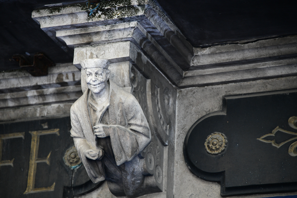
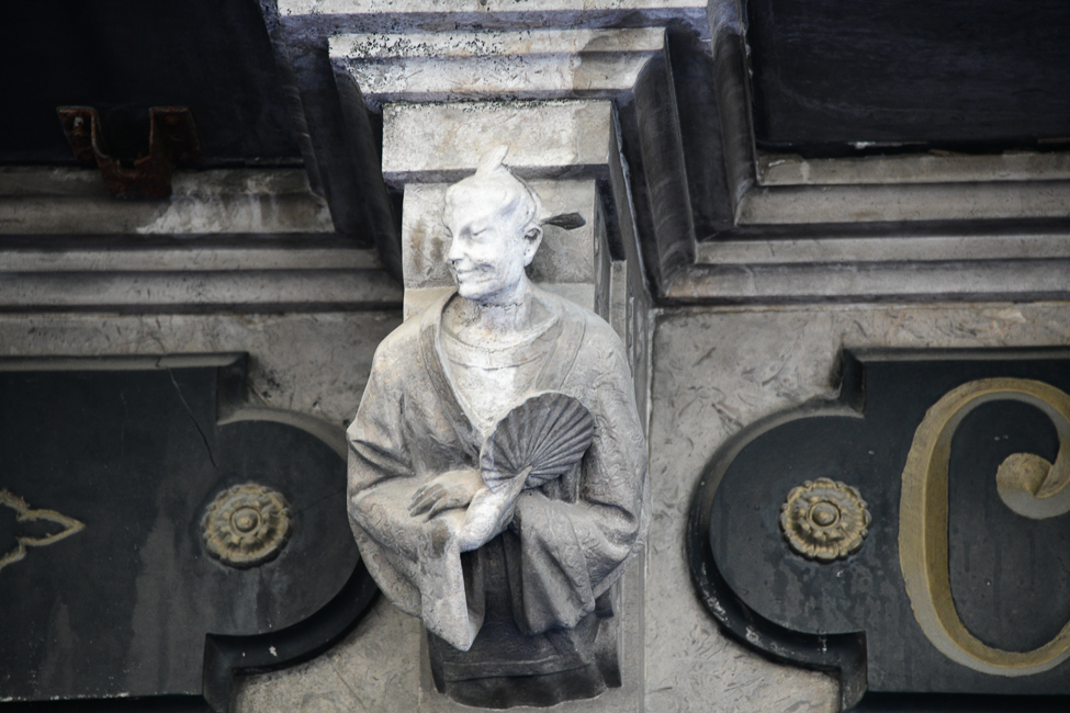
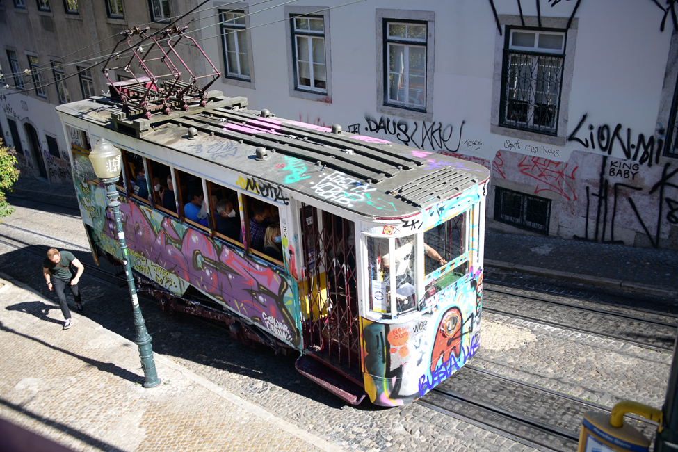
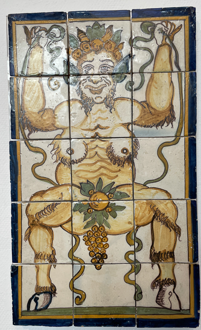
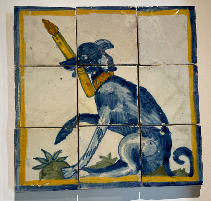
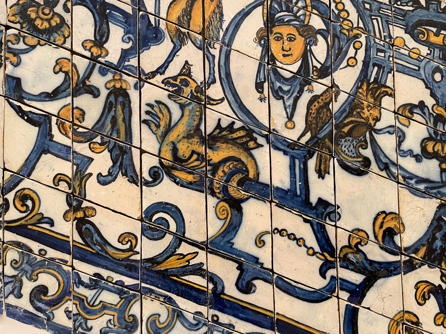
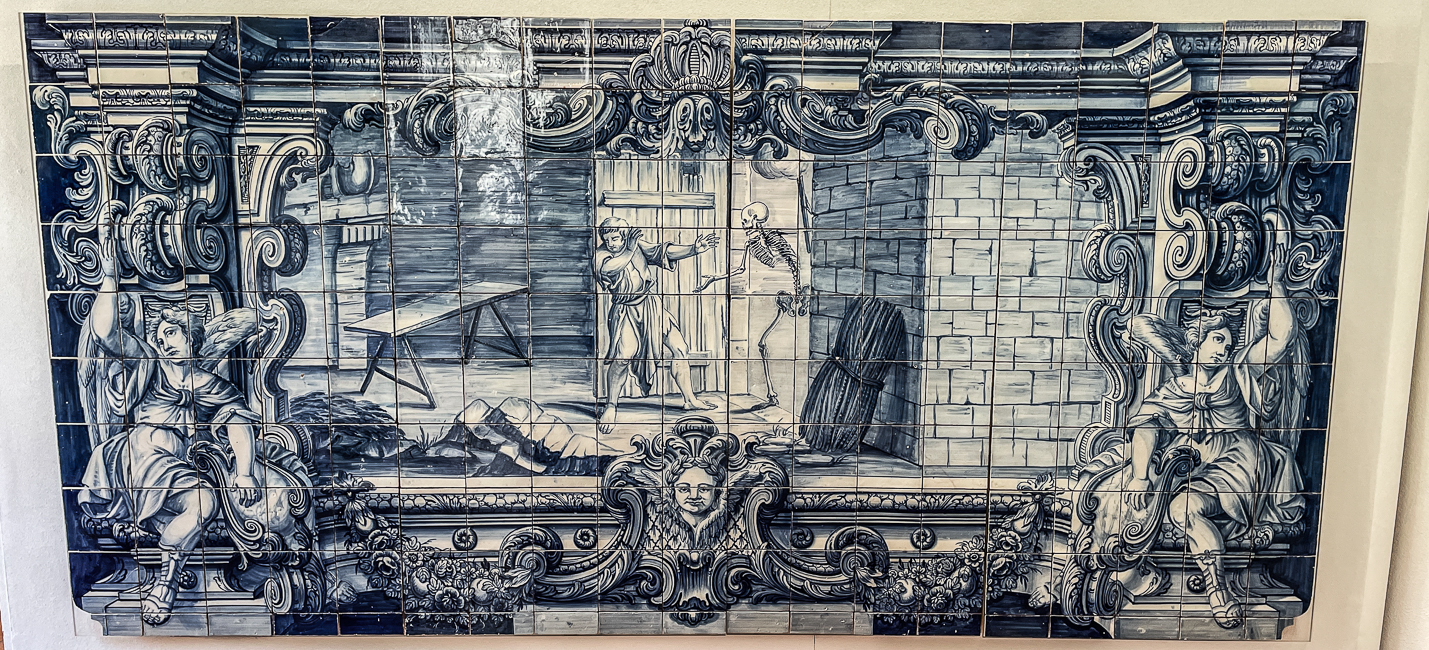
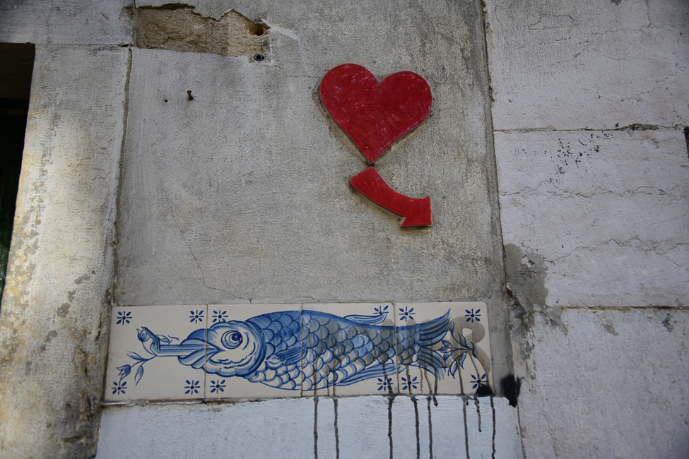
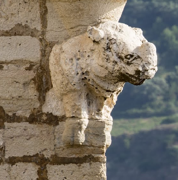
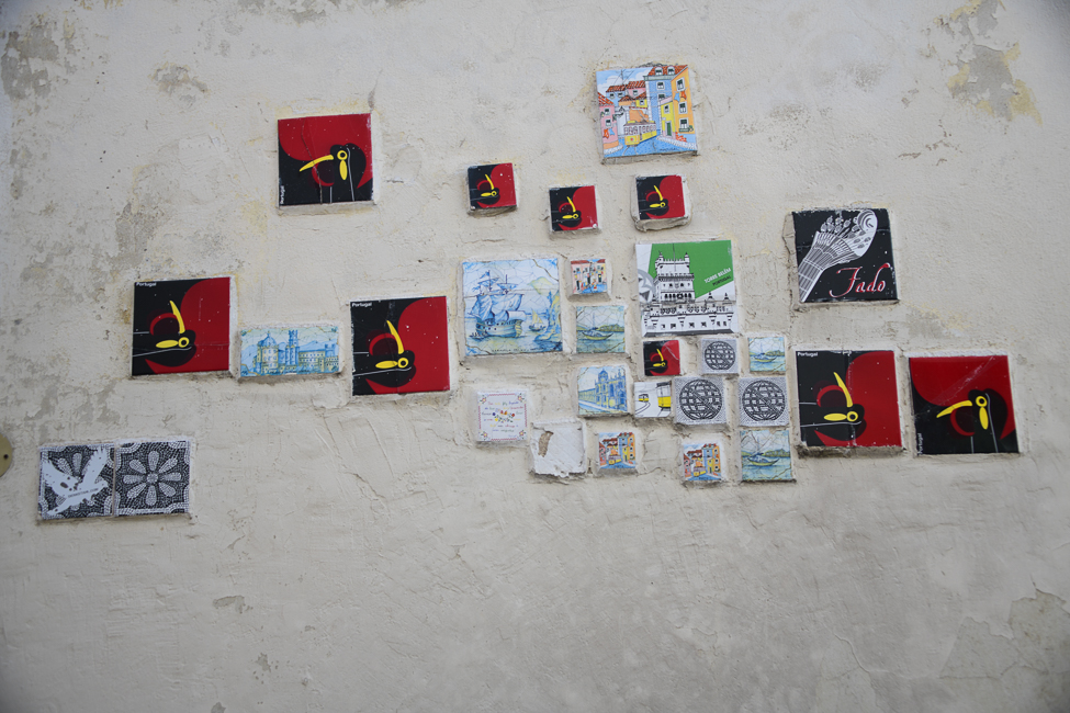
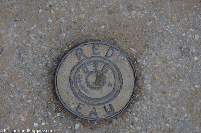
Street art in Lisbon

The Estado Novo, was a product of conservative and autocratic ideologies developed by Antonio de Oliveira Salazar, the President of the Council of Ministers from 1932, until he had a stroke and was unable to continue holding the office.

The Estado Novo movement was one of the longest running authoritarian regimes in Europe.

The regime was driven by a very conservative, corporate oriented, nationalistic, pro-Catholic bias.  The intent was to create a multi-continental nation that included Angola, Mozambique and other Portuguese territories.

From 1950 until Salazar’s death in 1970, Portugal saw its GDP per capita increase at an annual average rate of 5.7 per cent.

Under normal circumstances, this would be a laudable goal, and yet Portugal had the lowest per capita income in Western Europe.  It also had the highest rate of preventable deaths and infant mortality in Europe.

Today, Salazar’s Portugal is summed up as repressive and backward.  After the coup of 1974 that removed him,  a democratic Portugal came into being, it  joined the European Union in 1986, and living standards have risen, and Portugal is coming into its own.

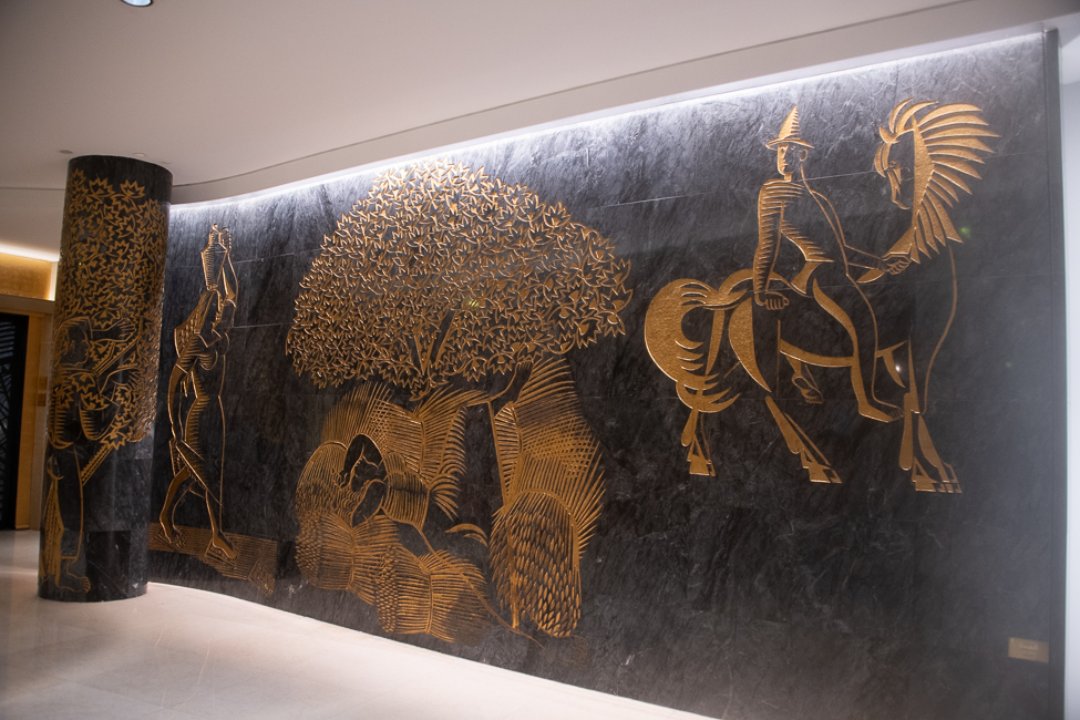
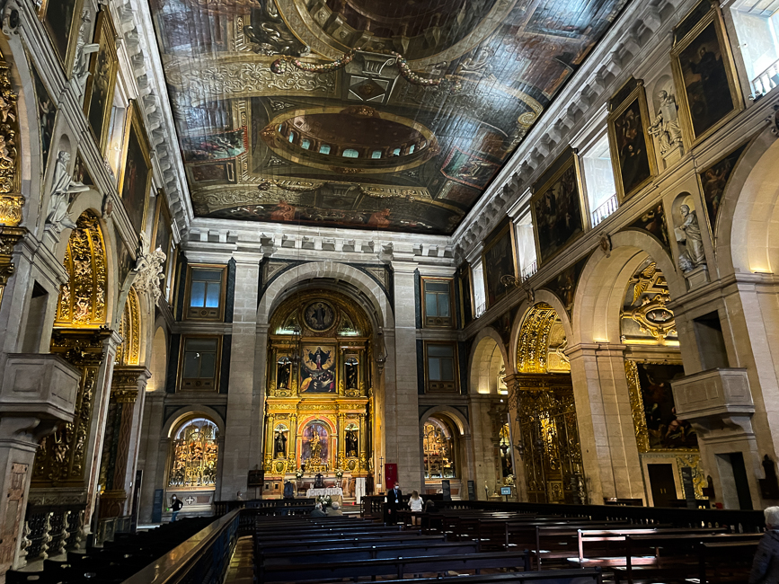
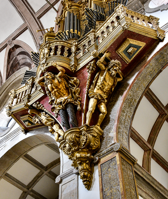
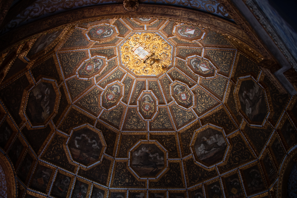
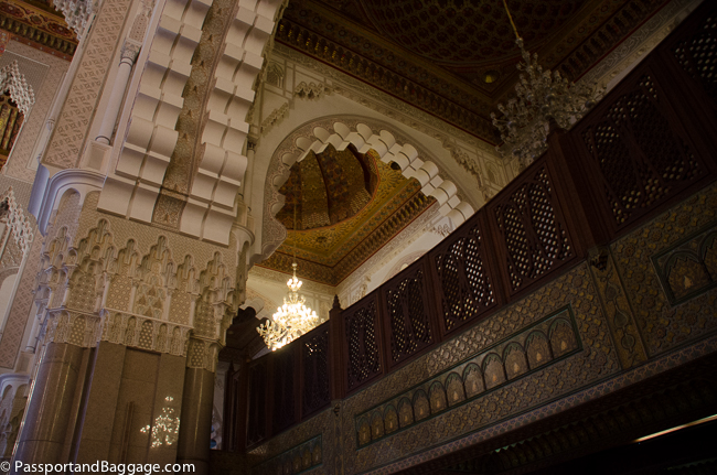
This stunning piece of art is by José Sobral de Almada Negreiros. It is in, what is now, the Four Seasons Hotel, which was built during the Estado Novo, as a meeting place for the nations of Portugal

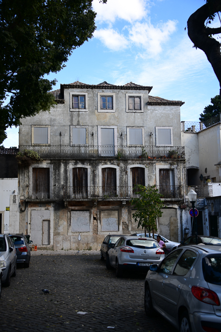
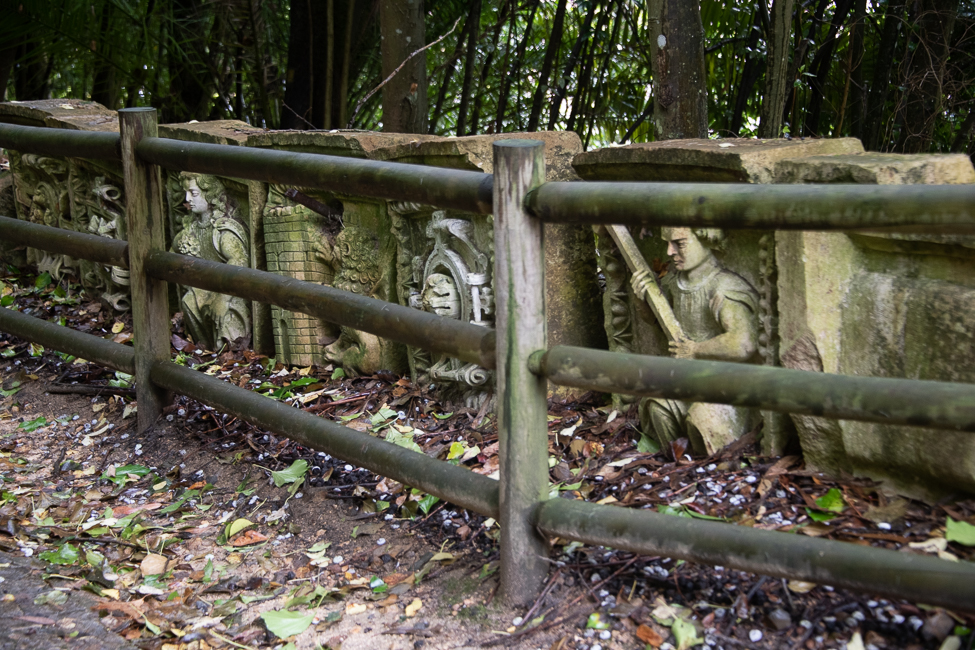
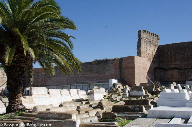
There are other reasons for the buildings of disrepair I see and that is one you can find in so many countries of the world, an antiquated inheritance system.  In Portugal if you do not leave a will, your property is divided equally amongst your family members.  I imagine it was difficult to find the money to write up a will under an authoritarian regime, when you were too poor to even visit a doctor, and because of this many of the buildings I see, while having a mortgage that was paid off ages ago, is owned by an unknown number of family members whom probably can not agree on red or white wine with dinner, let alone what to do with a piece of property, that frankly isn’t costing you a dime if it just sits there and rots.

Portugal is a gem, and with help from the EU and debt forgiveness from other foreign entities, it is slowly moving forward.

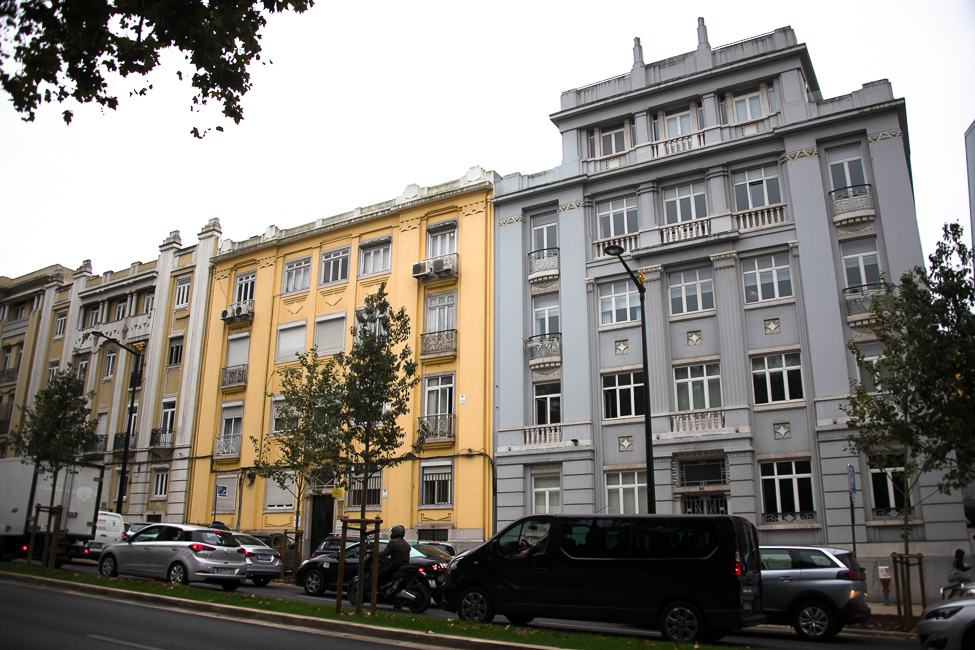
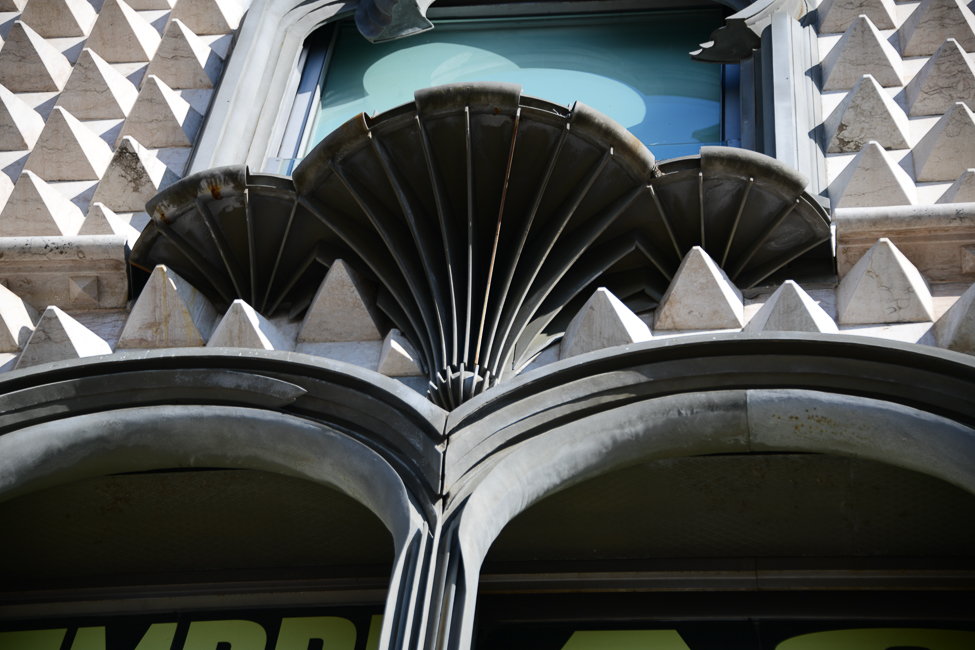
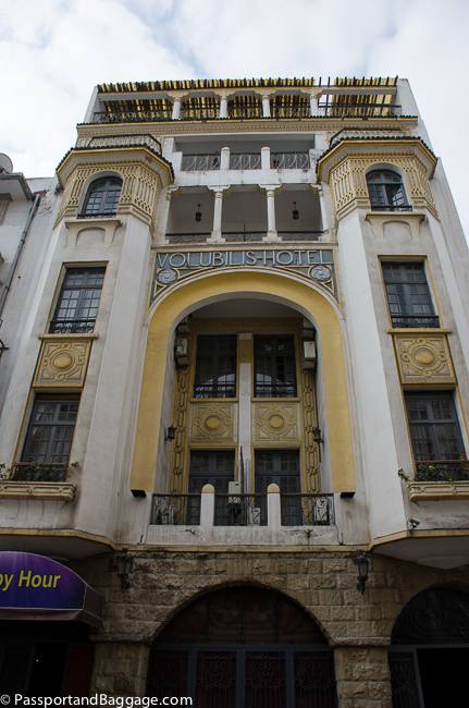
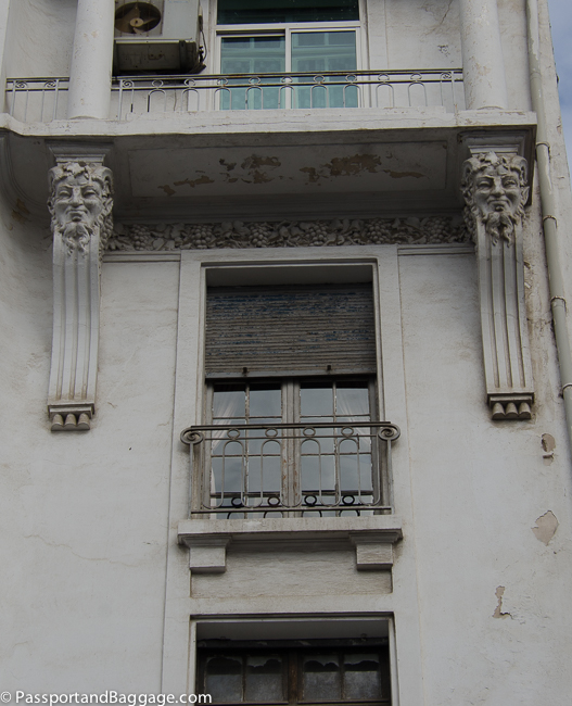
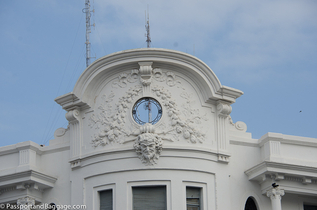
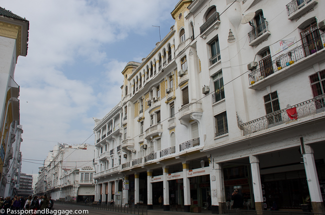
A block long row of Art Deco buildings not far from the Gulbenkian Museum

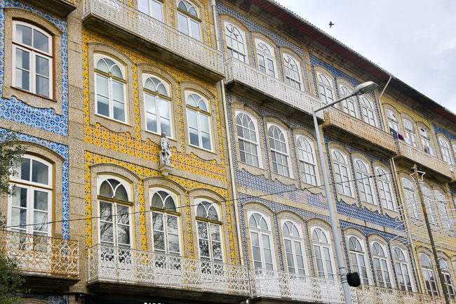
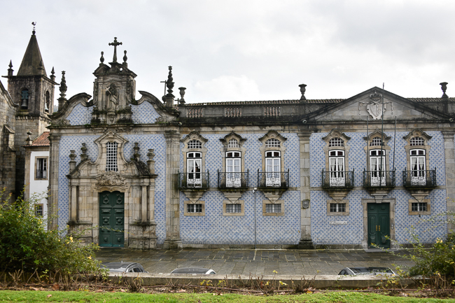
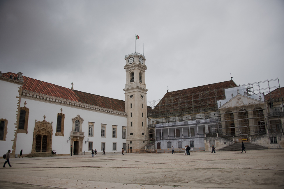
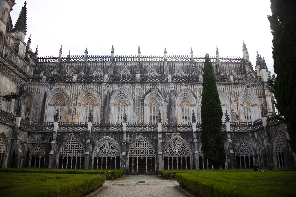
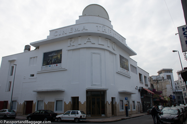
If one simply looks at the architecture you can see there have been glorious spurts of energy.  There are buildings that date prior to the 18th century, stunning art deco buildings, and modern sky scrapers. It is a very complicated, and overlooked pearl.

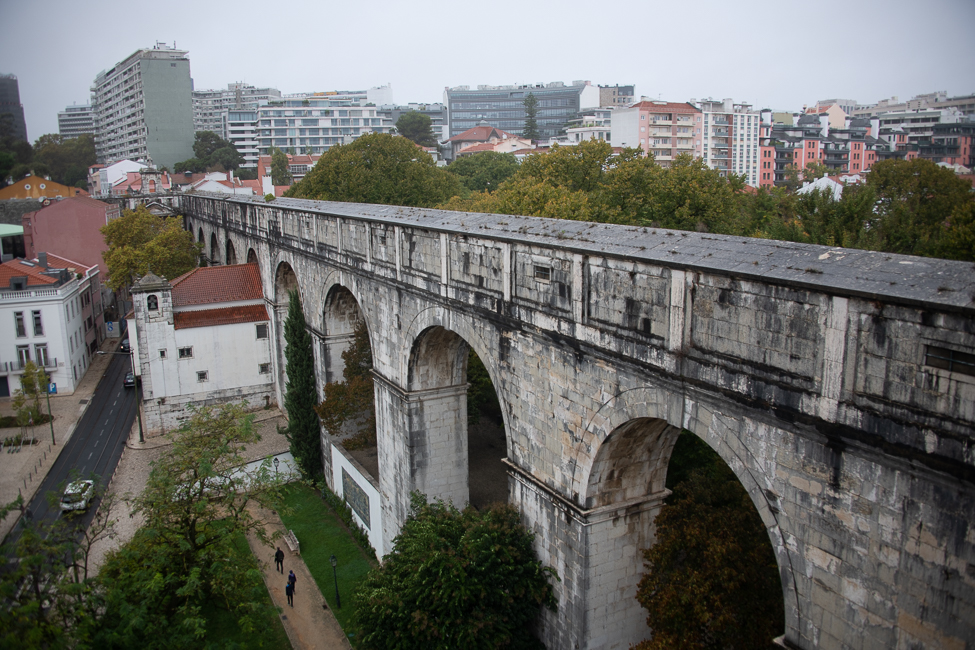
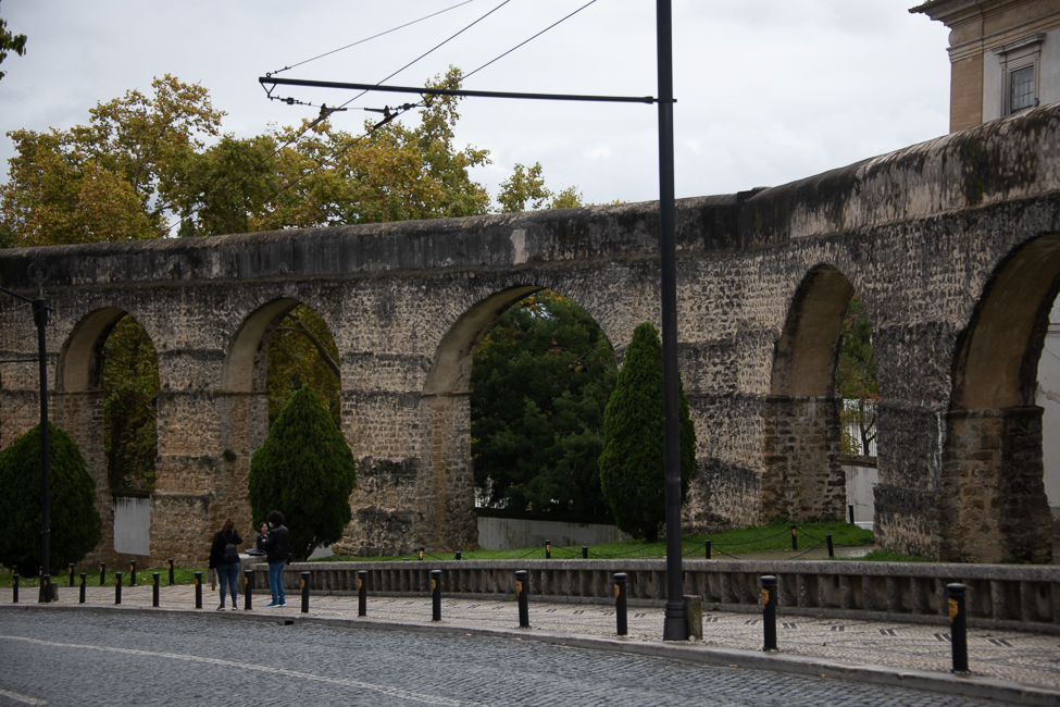
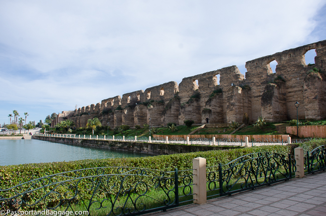
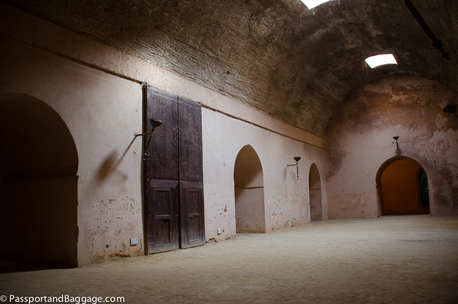
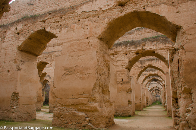
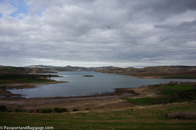
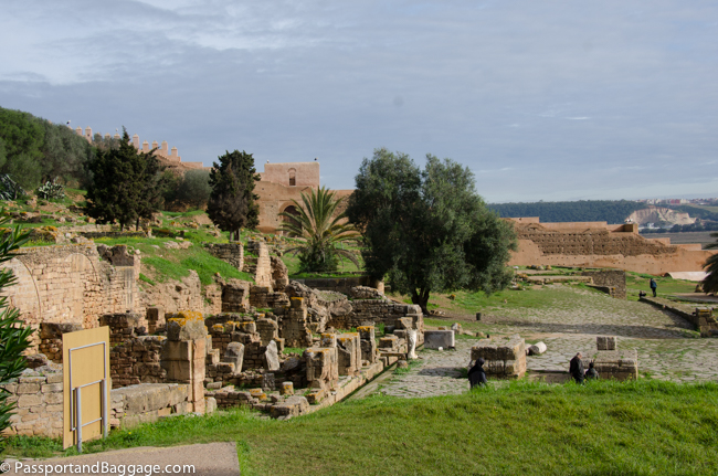
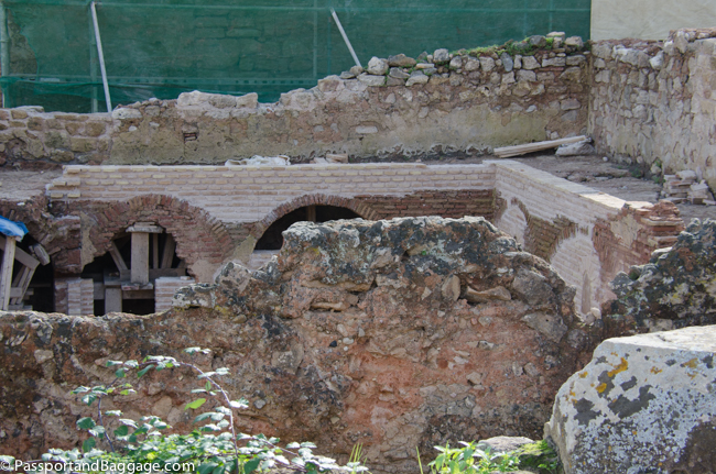
I have just a few more things to add regarding my last day in Lisbon.  The first is the Museu da Agua.  I love aqueducts, they are such an efficient way to deliver water, and date back to the beginning of time.  You can spot an ancient aqueduct when driving around Lisbon, and at the end of one of the sections is the museum.

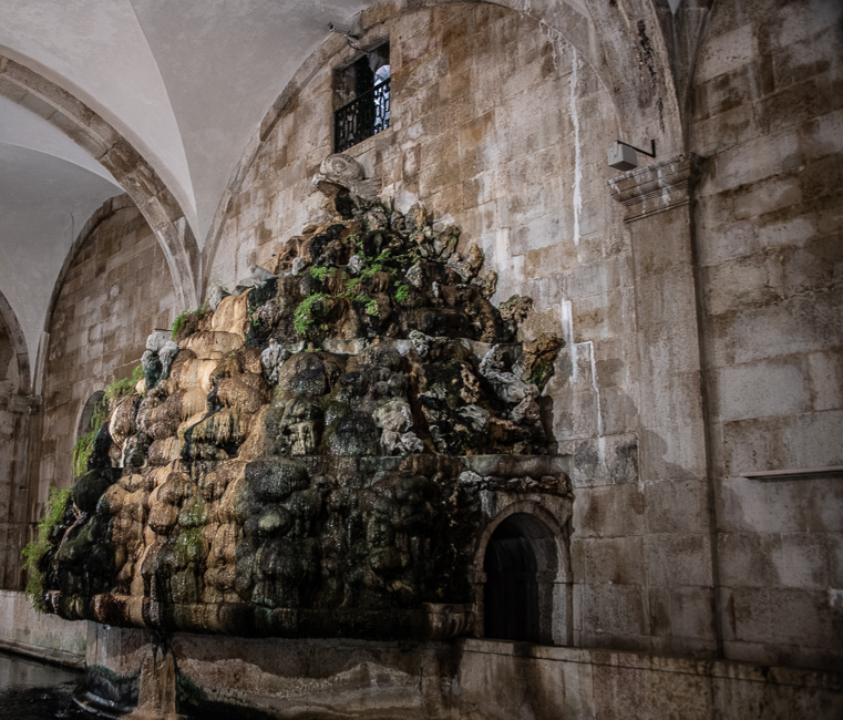
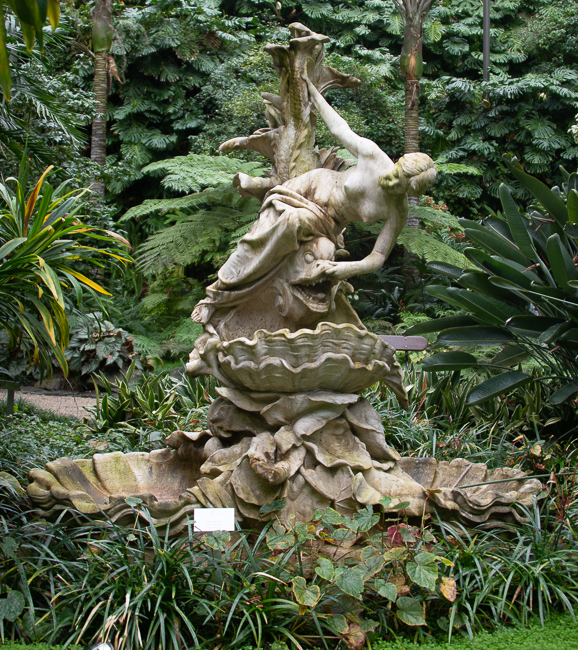
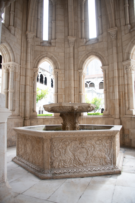
The focal point of the museum is this fountain, with its spitting dolphin at the top, covered with hundreds of years of mineral salts, that have created this luscious piece of art.

Built between 1731 and 1799, the Águas Livres Aqueduct formed a vast system that ran for approximately 36 miles from springs north-west of Lisbon to the capital.

The museum sits in a building designed, in 1746,  by the Hungarian architect Carlos Mardel. The fountain shown above pours into a reservoir built to receive and distribute the water brought to the city by the Águas Livres Aqueduct.  The tank has a capacity of roughly 200,000 cubic feet.  The reservoir has been classified as a national monument since 1910.

*

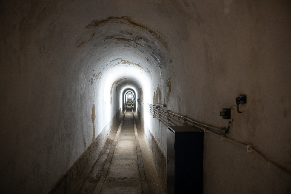
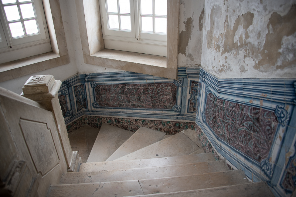
You can climb to the roof of the building and on the way look into the aqueduct itself

April 25th Monument

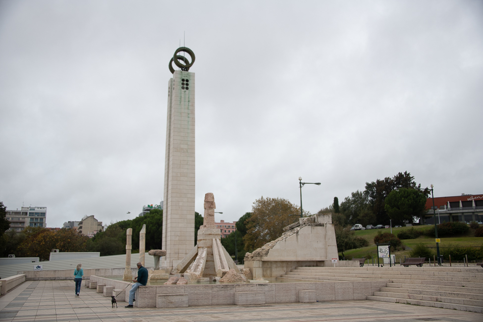
25th of April Monument by João Cutileiro

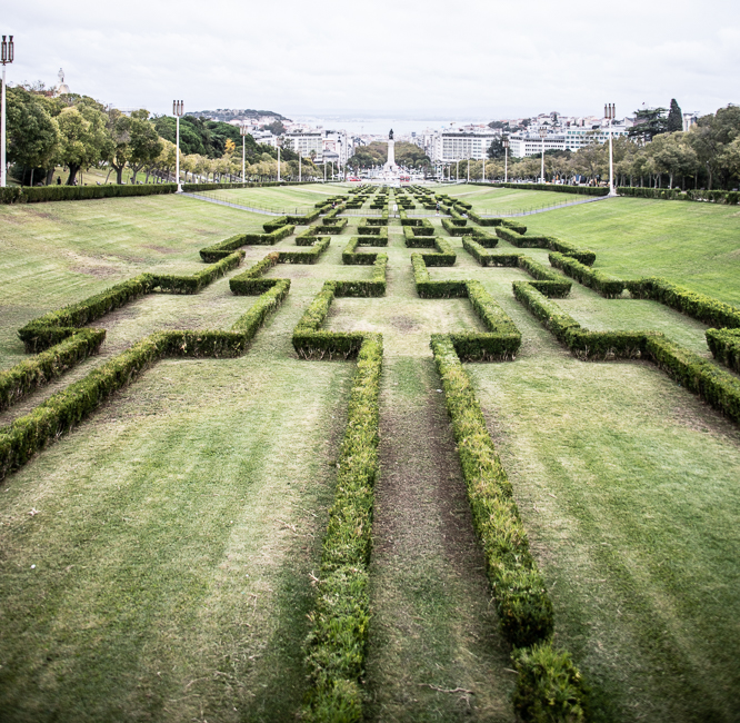
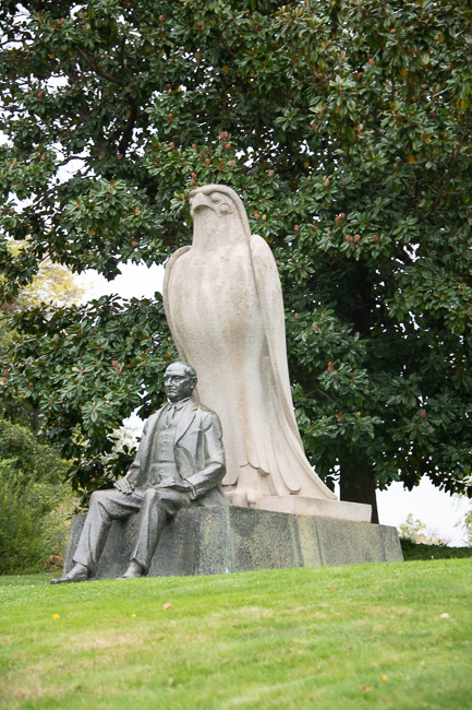
The statue is in honor of the Carnation Revolution. This was the military coup that overthrew with authoritarian Estado Novo regime.  It sits atop of a hill that looks down to the Tagus River.  Below the statue is the Eduardo VII Park, the largest park in central Lisbon and designed by architect Keil do Amaral. The park was named for King Edward VII of the UK, who visited Portugal in 1903 to strengthen relations between the two countries.

Looking down towards the river you see another statue.  That is a remarkable statue dedicated to Marques de Pombal, a Portuguese statesman and diplomat who effectively ruled the Portuguese Empire from 1750 to 1777. Pombal led Portugal’s recovery from the 1755 Lisbon earthquake and modernized the kingdom’s administrative, economic, and ecclesiastical institutions.

The statue is rather impressive.

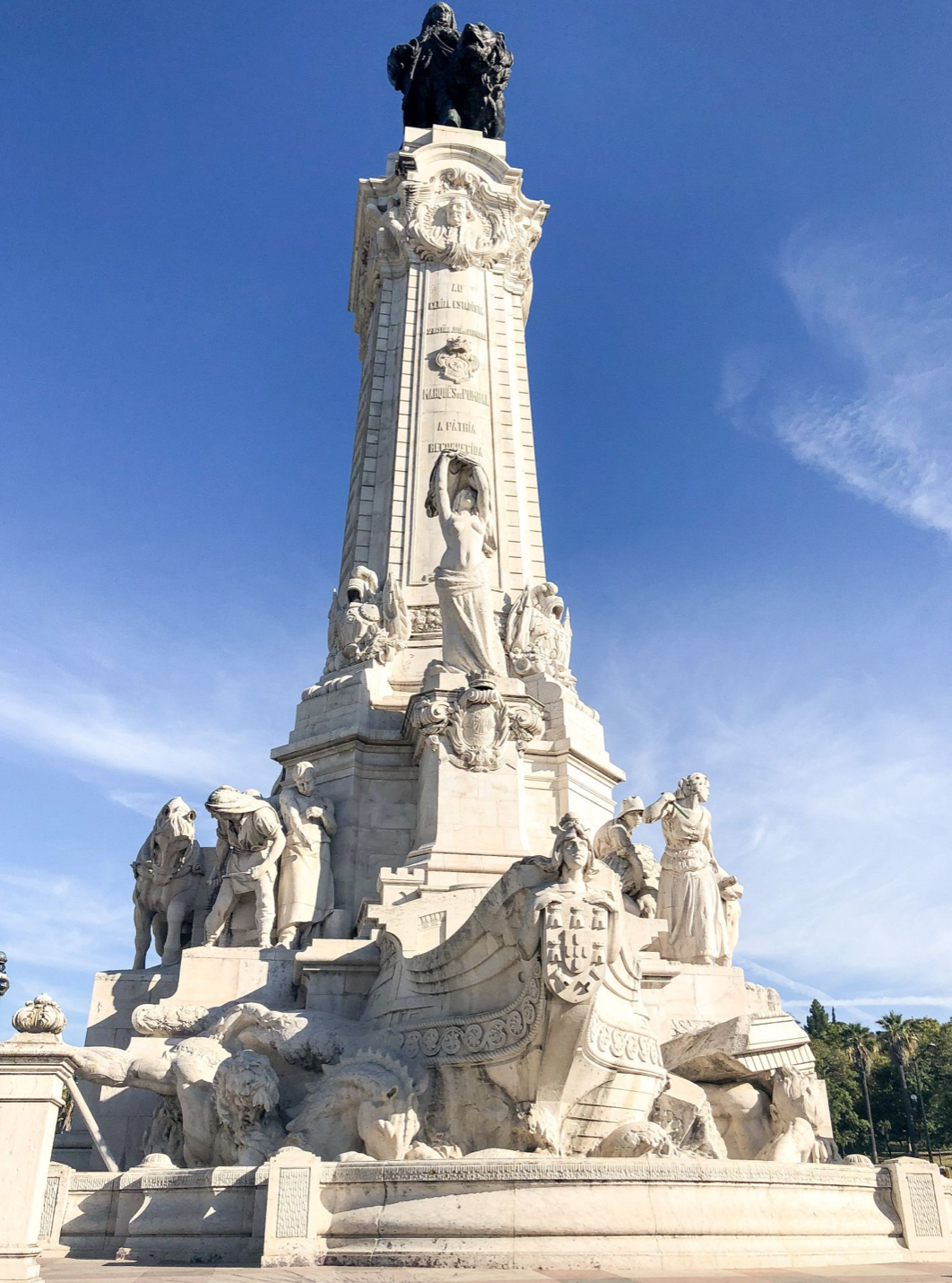
Photo from Pinterest

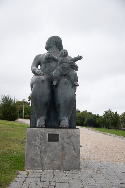
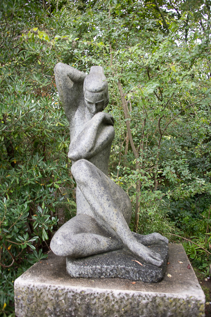
Wandering towards Eduardo VII Park I tripped over this Fernando Botero sculpture.

Lisbon is a city that takes time to get to know.  It is a very small town that feels like a very large city.  It is approximately 39 square miles with a population of just under 550,000.  That is not a large population for a city that size. Simply compare that to my home town San Francisco, with a size of just under 47 square miles and a population 873,965.

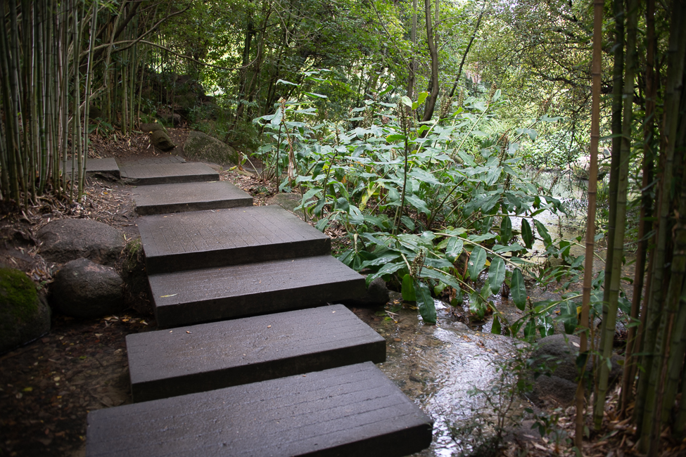
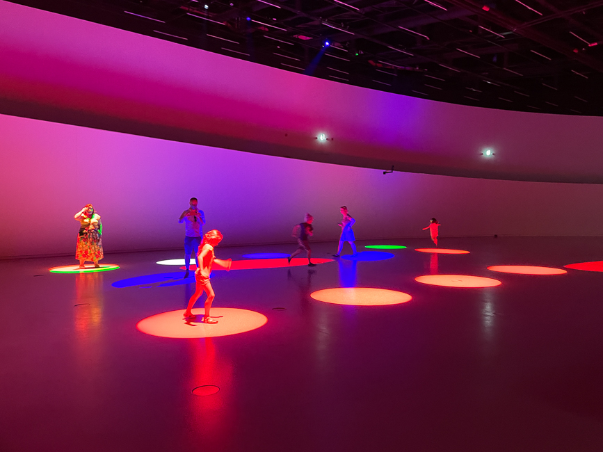
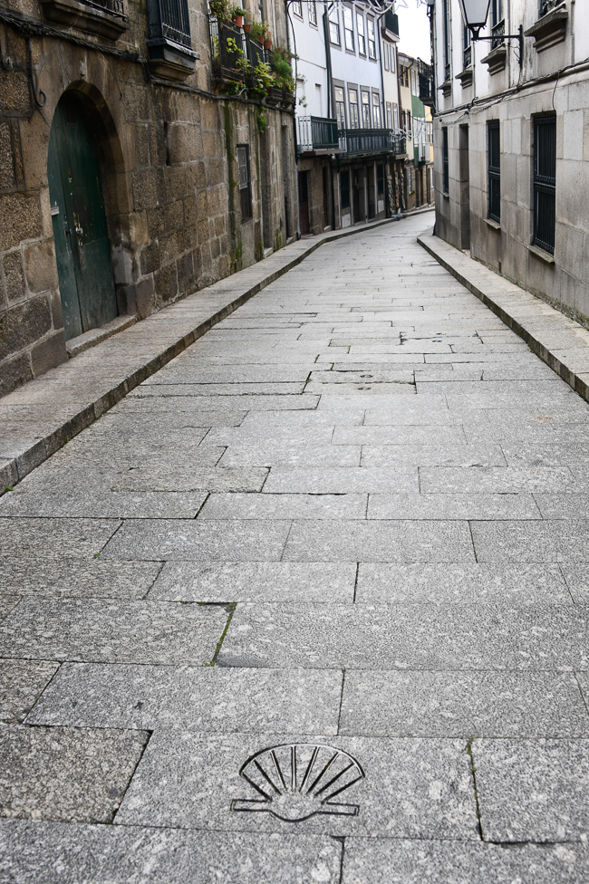
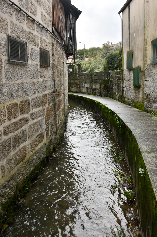
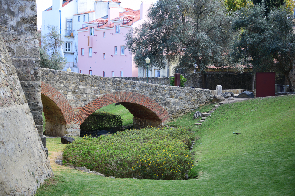
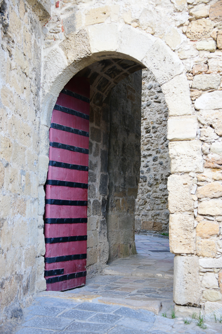
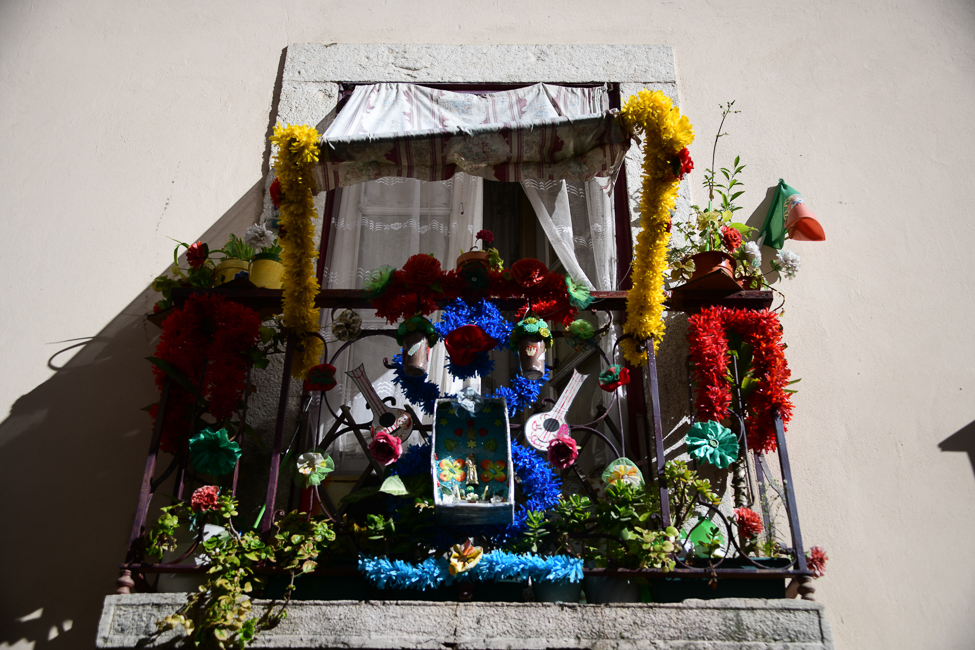
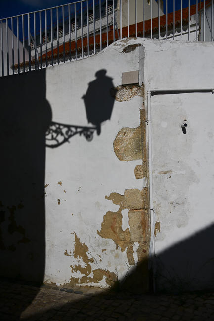
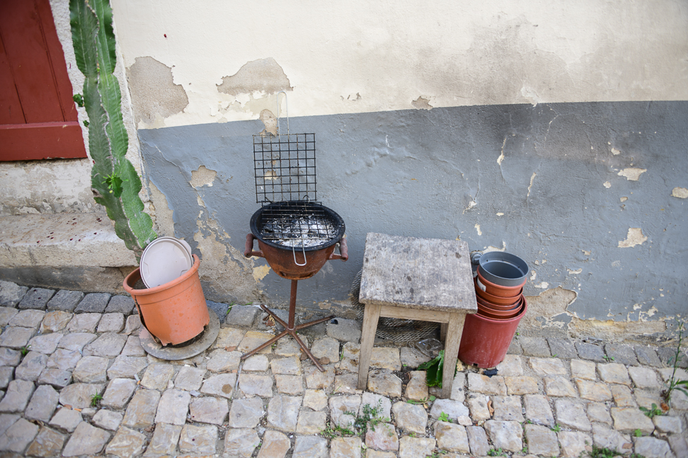
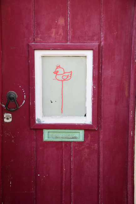
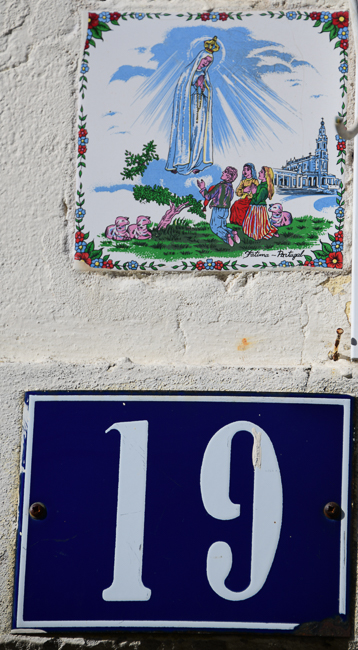
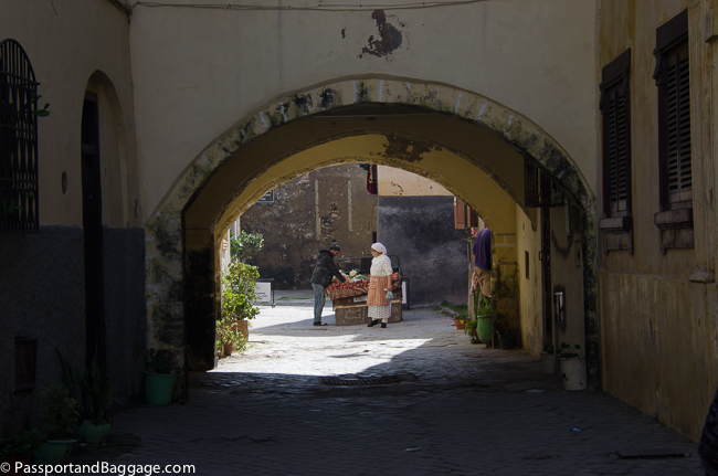
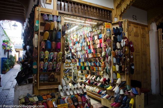
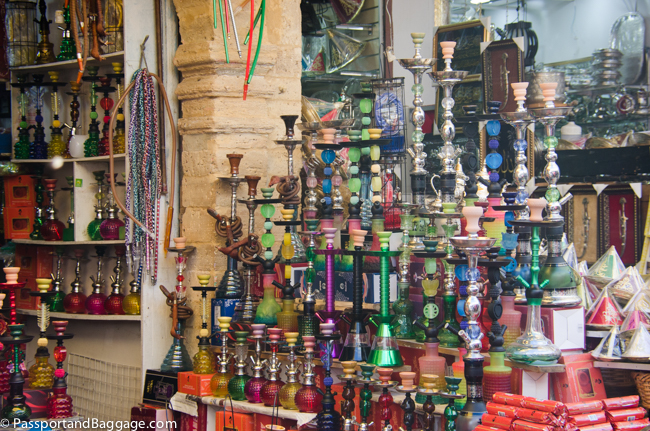
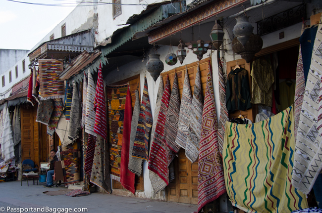
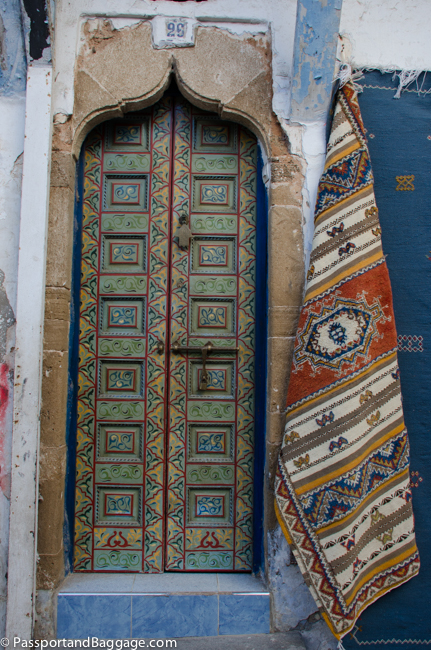
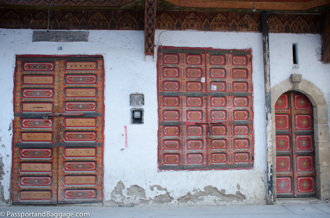
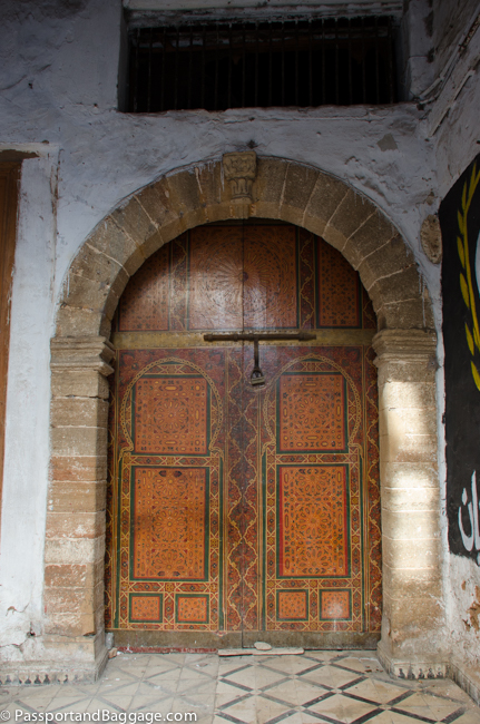
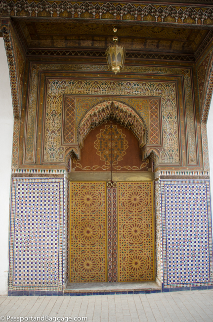
Lisbon has a lot of ah ha moments, getting lost, wandering alleyways is the only way to really see the city and that is what I did.

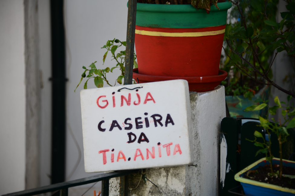
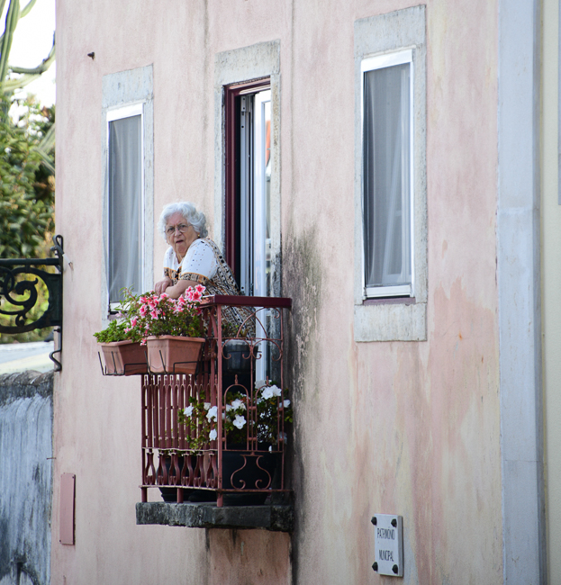
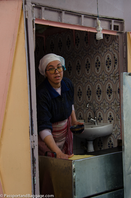
Ginja is a sour cherry liquor that is cloyingly sweet. It is thought that its origins, like many “medicinal liquors” occurred sometime in the 17th century at the hands of Cistercian monks.  Walk the alleyways of Lisbon, and grandmothers invite you in to try it and buy it.

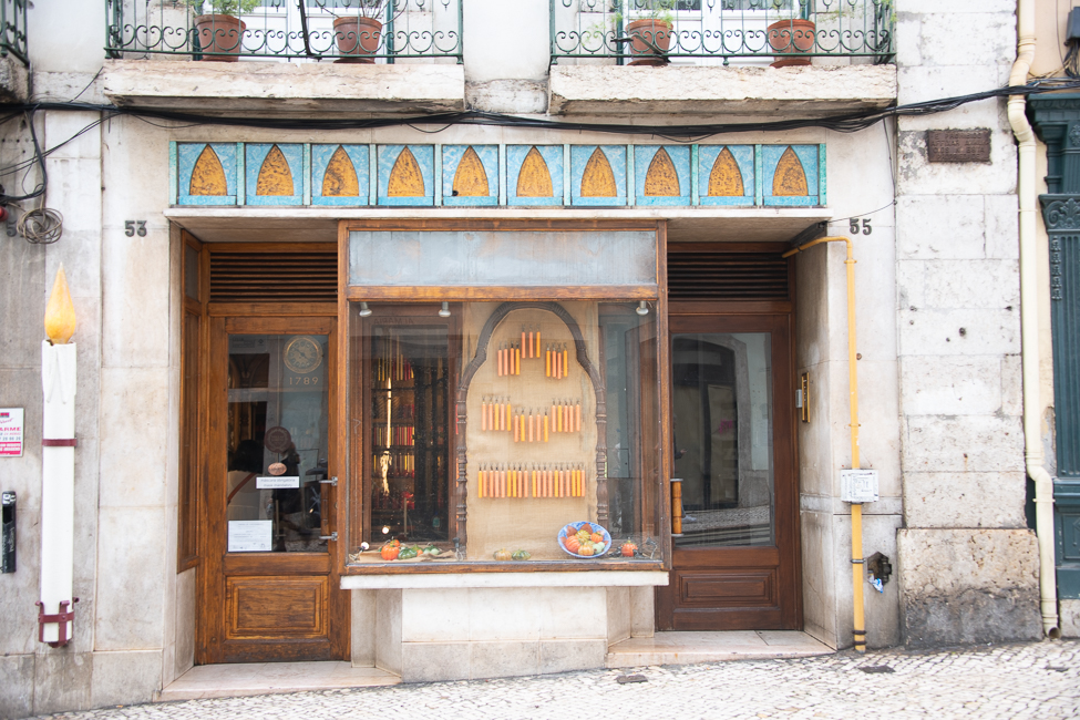
The candle shop Caza das Vellas Loreto is one of the oldest shops in Lisbon. Opened in 1789 the shop has been in the hands of the same family for seven generations. It was near halloween so the window display was orange, but it varies in color with the seasons.

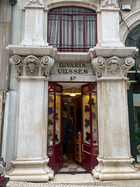
A dear friend sent me an email on my last day insisting I get to Luvaria Ulisses.  It was worth the very short walk. At most, 2 people can step into the store at one time, and they produce stunning gloves in every imaginable color. Opened in 1923 to cater to the stylish women of Lisbon it is a gem.

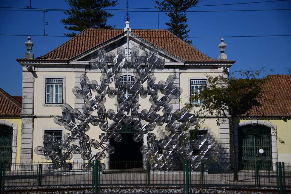
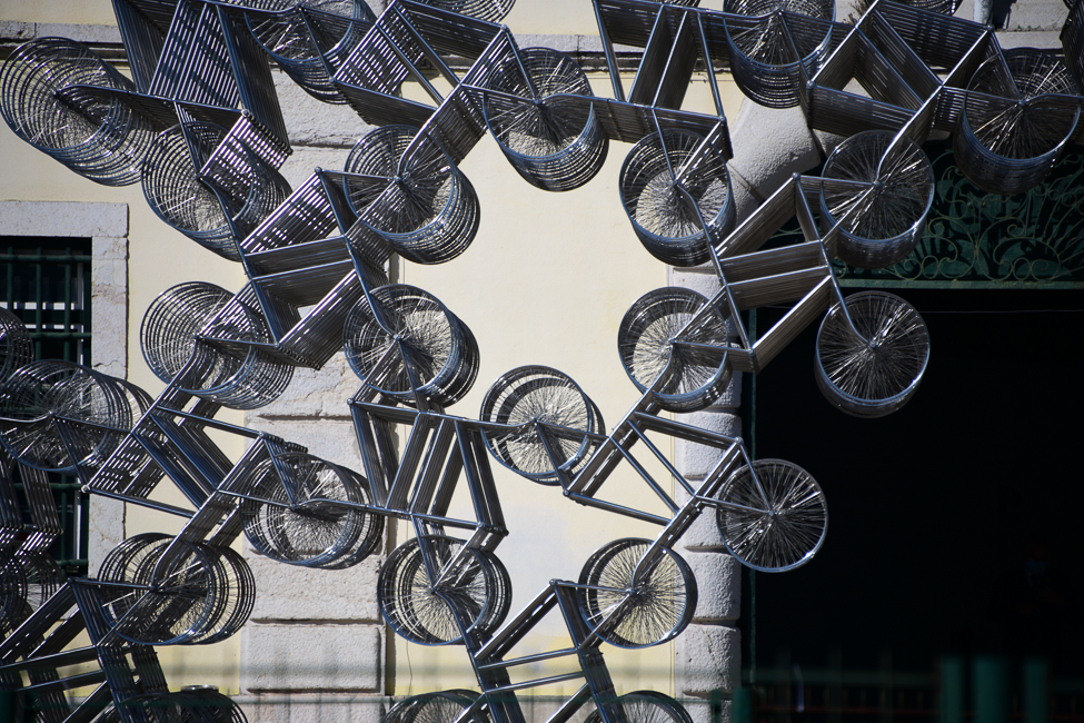
There are hundreds of moments like this if you let yourself get lost in Lisbon.


Oct 292021
 

October 2021

Calouste Gulbenkian Museum

Born in Istanbul of Armenian parentage, Calouste Sarkis Gulbenkian (1869–1955) built a huge fortune through oil.  He was not an oil baron but a negotiator between companies, and was known as the 5% man, for taking 5% off the top of all his contracts. He amassed an art collection which he kept in a private museum in his home in Paris. An art expert said in a 1950 issue of Life magazine that “Never in modern history has one man owned so much.” Today, most of his art is exhibited at Calouste Gulbenkian Museum in Lisbon.  The foundation in Portugal is one of the wealthiest foundations in the world. The museum was established according to his will and there are over 6,000 items in the museum’s collection, and they are truly impressive. I had gone specifically to see an exhibit on Dante, the exhibit woefully disappointed but the garden did not.

The garden surrounds the buildings of the foundation and are the perfect way to simply slow down.

It is hard to project the peacefulness one feels wandering this garden in the center of a bustling city.

The garden was built in the late 1960s, and was designed by landscape architects António Viana Barreto and Gonçalo Ribeiro Telles.  Parts of the garden have recently been redesigned by Japanese architect Kengo Kuma.

This sculpture, at the entry to the museum, was based on a photograph of Calouste Gulbenkian sitting under a statue of Horus at the Temple of Horus at Edfu.

There was a special exhibit of the artist of the divine stories of Tin Tin, this was at the entry.

Estufa Fria

Please take a close look at the nymph pinching the dolphins nose. I have never seen anything quite like it.

How does one describe Estufa Fria.  Today one would simply call it a botanical garden, but there is more to it than that.   This was a failed quarry, mainly due to water intrusion. So an unnamed gardener chose to start planting in this spot, a perfect place for his exotic collection of botanical species. Eventually, the plans were for the plants to be transplanted to the Avenida da Liberdade gardens. But, with the onset of World War I, everything was postponed, and the plants began to settle in and the garden was created. The garden has suffered throughout history, but today the park is filled with green houses, hot houses, and even a cold house. Today it also is a venue for public events.  If you just desperately need to get away from the madness of Lisbon, this is the place.

I was captivated by a exhibit, of what I assume were children’s creations of Japanese Peace Cranes

In one of the hothouses you can enjoy the cranes with very pleasant music created by Tibetan singing bowls

Gardens of Marquesses of Fronteira

The third garden of my day was attached to the Palace of the Marquesses of Fronteira. The palace was built in 1671 as a hunting pavilion to Dom João de Mascarenhas, 1st Marquis of Fronteira.

The palace is still occupied by the Marquesses of Fronteira and therefore, private.  You can tour the home in the morning, I missed that, but the gardens are open all day.

I learned of the gardens because of the azulejos, but that does not come close to describing the garden. Yes, the azulejos are stunning but the structure and design of the garden are to be appreciated as well.

There are two black swans that grace the large rectangular pool, that is also filled with koi

*

*

There is a divine grotto with a pool, while not filled with water on my visit it was easy to imagine what it looked like in its glory. It was adorned all around with tiles of fishing themes.

*

*

On the other side of the wall is more of the garden, this quite obviously done in a far more modern time

Traveling can be taxing, and sometimes, a full day just needs to be spent slowing down.  I was fortunate as the rain managed to hold back until I hoped into a cab at my last stop, and then it decided that a full shower was needed. What a delight.

This was a day where I could have posted 100 photos, I hope I chose the best to give you an impression of the gardens, they each deserve a post of their own.

Oct 292021
 

October 2021


Comércio Square

This is the Rua Augusta Arch because it is found at the end of the street that bears that same name. The arch faces Comércio Square. Designed by Portuguese architect Santos de Carvalho to celebrate the reconstruction of Lisbon after the 1755 earthquake. It was not completed until 1873.

The arch opens up to the Comércio Square.  This is Lisbon’s main square and it was built on the site where the old Royal Palace used to exist before it was destroyed by the earthquake of 1755.

In the center of the square is a bronze equestrian statue of Joseph I of Portugal (1750 – 1777) the King of Portugal during the Great Earthquake, it was designed by Machado de Castro in 1775. The world has plenty of statues of men on horses, but what I loved about this one was the elephant on one side.

Casa do Bicos

Casa dos Bicos was built in the early 16th century its curious façade of spikes was apparently influenced by Italian Renaissance palaces and the Portuguese Manueline styles. It survived the  1755 Lisbon earthquake but over time was abandoned as a residence and eventually used as a warehouse. After a renovation it became the headquarters of the José Saramago Foundation and the Museum of Lisbon.

José de Sousa Saramago was a Portuguese writer and recipient of the 1998 Nobel Prize in Literature. A proponent of libertarian communism, Saramago criticized institutions such as the Catholic Church, the European Union and the International Monetary Fund. His books have sold millions of copies and have been translated into at least 25 languages.

In front of the building is this lone olive tree where Saramago’s ashes are buried.

Looking up at the unusual balconies on the Casa dos Bicos

Mosteiro dos Jerónimos

In 1496, King Manuel I (1495–1521) petitioned the Holy See for permission to construct a monastery as thanksgiving to the Virgin Mary to celebrate Vasco de Gama’s voyage to India.

The construction of the monastery and church began in 1501, and was not completed for another 100 years.

The Monastery was once filled with monks of the Order of St Jerome, whose job for four hundred years was to comfort sailors and pray for the king’s soul. When the order was dissolved in 1833, the monastery was used as a school and orphanage, until about 1940.

The church of the Mosteiro dos Jeronimos

This is looking back towards the front door of the church. The church is unique in that it has a single nave, but what makes it amazing is its roof and columns.

Inside is the tomb of Vasco de Gama.


Attached to the church is the cloister.

The cloister is one of the most impressive examples of Manueline architecture in Portugal.


The construction was lead by Diogo de Boltaca and began early in the 16th century.

However it was João de Castilho who was responsible for most of the stonework that decorates the arches and balustrades.  Work that is just amazing to behold.

In 1985 when Portugal joined the European Economic Community, the formal ceremonies were held in the cloister.

On December 13, 2007, the Treaty of Lisbon was signed at the monastery. The treaty laid down the basis for the reform of the European Union.

**

Azulejos in the refectory of the Mosteiro dos Jerónimos


MAAT

The Museum of Art, Architecture and Technology (MAAT) is a project of the EDP Foundation (Energía Del Pacífico, in other words, the electric company). The museum consists of two separate buildings.  The big brick building was Portugal’s first power station and the second is a modern building designed by British architect Amanda Levete. The modern building is one big swooping façade covered in 15,000 three-dimensional white ceramic tiles There is a stairway that leads to the roof of the modern building that gives a spectacular view of the Tagus River.

The former power station dates from 1908 and was in use until 1975. It opened to the public as a museum in 1990. The industrial architecture is immaculately preserved, and this photographer thought she had died and gone to heaven when she saw all of the machinery.

* *

*

This is part of the present exhibit in the modern building titled The Big Dream.

Ai Wei Wei in Lisbon

This sculpture is outside of a building that once was a naval rope factory, the Cordoaria Nacional.  It is now a special exhibition hall and presently is housing an exhibit by Ai Wei Wei.

Forever Bicycles (2015), a monumental sculpture with 960 stainless steel bicycles used as building blocks.


Oct 262021
 

October 2021

One of the first things you read of Lisbon is about the 1755 Earthquake.  It was All Saints Day and the churches were packed to the rafters.  The earthquake was followed by a fire, and then a tsunami, killing an estimated 15,000 people in Lisbon alone.

The religious overtones regarding the disaster were abundant.  Many argued that it was an act of divine wrath, against a city that was not only famous for its wealth but also for its Inquisition and idolatry.  Voltaire was one of those, writing A Poem of the Lisbon Disaster,  propounding his views that evil exists and man is doomed to be unhappy on earth.  Voltaire went on to drive his point home with his famous novel Candide.

Carmo Convent, now an archaeological museum has been left un-repaired to remind all of the damage done by that earthquake.

The first thing I noticed upon walking out the door of my hotel were the pavings.  These little pavers are called calceteiros and the paths which they create are called calçada. It’s believed that the first of these types of pavers were laid at Castelo São Jorge in 1842, but, if so, they no longer exists.

*
*

Casa Chineza on Rua Aurea is a pastry shop, still in existence, the brackets above the awning, while hard to spot were just so whimsical and fun.

*

One of the most recognizable and beloved landmarks of Lisbon is the Elevador de Santa Justa.

Elevador de Santa Justa

Inaugurated in July of 1902, Lisbon’s residents were so excited to try this novelty, that over 3000 tickets were sold on the first day, and by the end of its first year it had carried more than half a million people.  Today it is primarily a tourist attraction, but also a very good way to get from the Baixa up to the Carmo Convent without climbing massive amounts of stairs.

The Elevador stands just under 150 feet high and it is not a coincidence that it resembles the Eiffel Tower, the architect of the lift was Raoul Mesnier de Ponsard, an admirer of Gustave Eiffel.

Ponsard applied many of the same techniques used in the Eiffel Tower, such as its iron structure and the gorgeous neo-gothic arches and geometric patterns.

The small trams of Lisbon are iconic. There are currently five different routes and 58 trams, of which 40 are vintage streetcars.

Looking down on the Rossio, once the center of Lisbon, this is now just a open space for hanging out. It was paved with wave-pattern mosaics in the mid 19th century.

Looking down on the Elevador and the Carmo Convent from the Alfama Neighborhood

At the top of one of Lisbon’s many hills is the Jardim de São Pedro de Alcântara with a view of the city.  The trees of the park are filled with parrots, reminiscent of San Francisco’s Parrots of Telegraph Hill.

Church of Sao Roque

Wandering down from the park you come upon the Church of Saint Roche. The church was founded at the end of the 16th century at the height of the Jesuit Order. The chapels are adorned with precious stones, lapis lazuli, alabaster, gold, silver and ornate mosaics. The art collection that belongs to the church is rather impressive.

The Lottery Seller outside of the Church of Sao Roque

This is – O Cauteleiro – or the Lottery Seller. It was sculpted by Fernando Assis and placed at Largo Trindade Coelho in front of the church in 1987.  Passers-by rub the ticket  in his right hand for good luck, which over the years has given it that shine.


With the establishment of the Portuguese Republic in 1910, A Brasileira became a meeting point for Portuguese intellectuals, writers and artists, including Fernando Pessoa, Portugal’s most celebrated twentieth century poet .  A Brasileira is said to be the home of the bica, or extremely strong espresso.

This is Fernando Pessoa, known to enjoy absinthe and the bica while chain smoking at A Brasileira. Sculpted by  Lagoa Henriques it was placed outside the restaurant in 1988 as a tribute to the poet.

A lovely ornamented water cover

The inside of Mundo Fantástico da Sardinha Portuguesa, the greatest sardine show on Earth

Lisbon is known for its cod, but also its sardines, this little store has taken it over the top with a store filled with nothing but tinned sardines in a circus atmosphere.

At the top of the Elevador in the shadow of the Carmo Convent you can stop for pasteis de bacalhau  (fried codfish, mashed potatoes and cheese) and a glass of port.  To my surprise, the port was actually a perfect accompaniment.  This port was not sweet, but acidic, cutting through the fish and cheese in a way to make it a perfect mouthful.

It was a beautiful day and a perfect way to slow down and enjoy a Sunday in Lisbon.


Dec 022022
 

November 2022

Guimarães was originally settled in the 9th century and called Vimaranes. It is thought the name may have had its origin in the warrior Vímara Peres, who chose this area as the main government seat for the County of Portugal which he conquered for the Kingdom of Galicia. Guimarães is often referred to as the “birthplace of Portugal” or “the cradle city” because it is widely believed that Portugal’s first King, Afonso Henriques, was born here. It is the location of the Battle of São Mamede, the seminal event in the foundation of the Kingdom of Portugal.

Here is the birthplace of Portugal

Looking down on the Palace of the Dukes of Braganza from the Castle

One of the more imposing buildings in Guimarães sits on a hill.  It is the Palace of the Dukes of Braganza. Built on the orders of Alfonso, Count of Barcelos in the first quarter of the 15th century (likely 1420 to 1422). Barcelos was the illegitimate son of John I and his line would occupy this Burgundian-style residence for the next 200 years.  Catherine Braganza the future wife of England’s Charles I, grew up here.  Today the building is a museum, with items from collections around Portugal.

The castle this was taken from dates to the 10th century and lies in ruins, but with a nice walk along the parapet with wonderful views of the town.

One of the medieval streets of Guimarães. Notice the shell in the foreground, a sign of the Camino de Santiago.


Homes in Guimaraes covered with azulejos

A religious building covered with azulejos

Largo da Oliveira

Our hotel, Hotel Oliveira, sits on the square which gets its name from the olive tree growing in the middle of the square.

The olive tree in Largo da Oliveira

Behind the tree one can see the Gothic monument, Padrão do Salado.

Padrão do Salado

This small pavilion was built in the 1300s on the orders of Afonso IV. It’s a memorial for the Battle of Salado, fought in 1340 by Portuguese and Castilian forces against Moorish forces in Tarifa.

The Christian armies were led by King Afonso IV of Portugal and King Alfonso XI of Castile. Opposing them were armies led by Sultan Abu al-Hasan ‘Ali of the Marinid dynasty and Yusuf I of Granada.

As a result of the war, never again was a Muslim army able to invade the Iberian Peninsula. Meaning that control of the Straits of Gibraltar was now held by the Christians, specifically the Castilians and the Genoese.

Ancient Guimarães city wall

Once Lisbon became the capital city of Portugal, Guimarães languished.  This is what helped keep the city’s medieval character intact. The ancient walls were demolished in the 19th century when the emphasis was put on urban planning and sanitation. Today the city is a UNESCO World Heritage site.

Zona de Couros

Zona De Couros

Outside the city walls lies the Zona De Couros, the former tanning and leather-making district of the city.

The Portuguese tanning industry has its roots in the city in the Middle Ages. Hides originally came from the area but later they were imported from Portuguese colonies such as Brazil, Angola, and Mozambique.

The industry was a major employer during the 19th and 20th centuries, supplying the demand for leather in Europe during World War I and World War II.

Beginning in the 1960s, cheaper overseas products helped in the decline of the trade, along with the fact that it was dirty and strenuous work. The factory closed its doors for good in 2005.

Zona De Couros

The water running through the tanning area was once called the “rivulo de corios”

The small river that passes through the area is referred to in documents from the 12th century, and in 1151 was called the “rivulo de corios”


The” rivulo de corios” now the Couros river, forms a natural drain for the city, and once bore the wastewater from the tanneries and the waste from its workshops as well as the domestic waste from the area.

Stations of the Cross

It can be somewhat discombobulating to come across these rather dour images when one rounds a bend in Guimarães while strolling. Erected in 1727 there were originally seven chapels in Guimarães as Stations of the Cross, today there are only 5.

Fun Sights Around Guimarães

*

The World Cup is on while we are here, and flags are everywhere

*

Nov 272022
 

November 2022

This is my second trip to Porto and this trip is less about discovering the city and more about discovering the wine.

I did not get to the famous bookstore, Livraria Lello, on my last visit, so I will begin there.  You can now buy 5€ jump-the-line tickets with the money going towards the purchase of a book.  The lines are still long and the crowds are still large.  The crowds are only annoying because so many people don’t care about books, they are just there to Instagram themselves.

I was excited to find an entire room dedicated to Jose Saramago, whose house and grave I visited when I was in Lisbon.  Sadly, none of his books were available in English.  I discovered this fact on my last visit, something to do with the author’s estate changing publishers, and the lack of rights to the English language publications.

A little over 100 years old, Livraria Lello is an art nouveau gem.  Pictures on the other hand were difficult at best with the amount of Instagramers hanging around in every interesting architectural nook.

*

The underside of the magnificent central stairway

There is Honor in Work

I was able to purchase Love of Perdition by Portuguese author Camilo Castelo Branco. The 1st Viscount of Correia Botelho, and a prolific writer of the 19th century, with over 260 books to his name.

Aveleda Winery requires advanced reservations but their wine and gardens are worth every penny and as much time as you can afford.

A guard gate from the original era of the winery

The winery was founded 150 years ago, by Manuel Pedro Guedes (1837-1899).  The winery sits in the Vinho Verde wine region which is in the northwest of Portugal. Vinho Verde is bordered by Douro Valley and Tras-os-Montes wine regions from the east and Dão & Lafões from the south.

The name Vinho Verde (green wine) was given to the region because it is so very verdant.

The Guedes family has been on the estate for over 300 years. Construction on the park and gardens began in 1870 by Manuel Pedro Guedes. Since then, five generations of the family have added new features.

It was pouring rain the day I visited, and yet it was still rather magical.

The next winery we visited was Quinta de Santa Cristina.  The wines are not as spectacular, but the property is pretty amazing.

*

*

The mountains around Quinta Santa Cristina

Amarante

Between the two wineries sits the town of Amarante on the banks of the River Tâmega. Founded as Turdetanos in 360 BCE, Amarante is one of the most ancient settlements in northern Portugal. It also prospered under the Romans.

The bridge is the focal point of the city. Built in 1790, it was the center of the 1809 resistance during the Peninsular War. For fourteen days the people of Amarante fought off Napolean’s Marshall Soult’s advance. Eventually, Soult was victorious and his army advanced and burnt down the Amarante’s houses.

Carvings on the organ of the church of Amarante – São Gonçalo

The church of São Gonçalo dates to 1540. Born in Amarante at the end of the 12th century, Saint Gonçalo is mostly revered for his healing miracles. The interior of the church is lovely but I found the sculpture on the pipe organ to be rather unique.

Back in Porto

In Ribeira Plaza in Porto is this interesting fountain. It was built in the 1780s and decorated with the coat of arms of Portugal. In the niche is a  statue of St John the Baptist by sculptor João Cutileiro.

A plaque to the Porto Bridge Disaster of 1808

Just off Ribeira Plaza, you will find this obscure plaque. In March 1808, during the Invasion of Portugal by Napoleon’s troops,  under Marshal Soult  (him again) the French attacked and captured Porto. Thousands of refugees drowned while fleeing the city across a pontoon bridge that collapsed.

The Peninsular War (1807–1814) was the military conflict fought in the Iberian Peninsula by Spain, Portugal, the United Kingdom, and Ireland against the invading and occupying forces of the First French Empire during the Napoleonic Wars. The war started when the French and Spanish armies invaded and occupied Portugal in 1807.

Looking from my hotel room (The Pestana Vintage Porto) to the Maria Pia Bridge over the Duoro River in Porto. The building on the far side of the bridge, on the top of the hill is the Hotel Vincci Ponte Ferro

The view from my room at Hotel Vincci Ponte Ferro on my last night in Porto

May 312022
 

May 2022

A quick geography lesson before the geology lesson. This area is actually called Newfoundland Labrador. The island of Newfoundland is the easternmost region of Canada, while Labrador is located on the mainland to the northwest. This post is about the Newfoundland portion of the province.

With John Cabot’s arrival the island has been called Terra Nova, or, Newfoundland. Labrador probably received its name from the Portuguese designation, “Terra del Lavradors.”

Newfoundland geology is a result of the constant movement of tectonic plates. Approximately 500 million years ago the action of these plates forced parts of the oceanic crust beneath the Iapetus Ocean up and over the eastern margin of the North American plate.

Labrador is part of the eastern Canadian Shield ( a geologic shield) consisting of a large area of exposed Precambrian igneous and high-grade metamorphic rocks and intrusive igneous or metamorphic rocks are the most common, with sedimentary rocks in some areas.

In contrast, Newfoundland is largely underlain by younger rocks.

Traveling the Bonavista Loop

When traveling the Bonavista loop there is a 10 mile strip of coastal cliffs that date back 565 million years.

The city of Elliston considers itself the root cellar capital of the world.  They are possible because of the geology of this area.  The town has 135 documented root cellars, some of which are 200 years old.

The soil in this area is not very fertile, so families, growing their own food, often enriched it with kelp and anything else that made sense.  The vegetables were placed in the cellars to last the winter.  They are dug into the ground and covered with flagstone.

Inside one of the root cellars

This rock is just off of the shore in Port Union, the area is rife with fossils, in fact, one found in Port Union in 2009 is thought to be the oldest complex animal and the earliest evidence of muscular tissue in the world.

The Chimney at Spillar’s Cove

The Chimney is a prominent narrow sea stack, and is the remains of an igneous intrusion. It is just one more amazing thing to see on the coastline of the Bonavista Loop.

When I was out at Spillar’s Cove I spotted my first iceberg.  I expect to see many on this trip, but this one was special.

Shoreline near the town of Trinity

The Bay of Trinity


The Bay of Trinity is a result of the last great ice age of the Precambrian, 580 million years ago. The area is dominated by marine terraces, created as the land rose with respect to the sea.


Red stone near Keels just off the Bonavista Loop

The Dungeon

The Dungeon started out as a cavern with two separate openings to the sea. Continuing erosion led to the widening of the cavern until eventually, the roof collapsed inwards. These collapsed sea caves are known as gloups.

On a trip to Portugal last year I was fascinate by how the Lisbon Earthquake of 1755 changed so much of history.  It even had an effect here on the Bonavista Loop.  The quake generated a massive tsunami that crossed the Atlantic Ocean, and was observed in the Bonavista area, over 2175 miles from the quake’s epicenter. Reverend Philip Tocque wrote in his book of 1846: This event is likely the inspiration for the traditional Newfoundland song “A Great Big Sea Hove In Long Beach”.


Nov 032021
 

November 2021

Coimbra is a lovely town, and like every University town, it is multifaceted. The university was first established in Lisbon in 1290, it went through a number of relocations until moving permanently to Coimbra in 1537 by the order of  King John III. The University was expanded in 1544 by occupying the Coimbra Royal Palace.

The University’s Palace Gate. One’s entry into the heart and original portion of the University

I am here because it is a UNESCO World Heritage Site.

Paço das Escolas This was once the Royal Palace of Alcáçova, a residential fortress built on top of the hill . From 1131 King Afonso Henriques chose it as his place of residence making it the country’s first royal palace.

Paço das Escolas is the historic heart of the university, where traditional academic ceremonies are still held. The main ceremonial hall is the Sala dos Capelos (named after the academic cape awarded to graduating doctorate students).

One of the Sala dos Capelos

Entry to the Biblioteca Joanina

The biggest reason for me to visit the University was the Library. The library is housed in the Casa da Livraria (House of the Library), it received its  first books in 1750, its construction was completed between 1717 and 1728.  You are required to be on a timed entry, and are shown into the first floor, which once was a prison. You climb up to the next floor which houses a collection of books and serves a a museum.

What you have truly come for is, what by now is the third floor, but is actually the ground floor, is the main portion of the library.  There no pictures are allowed.

I never violate the no photography edict, but many do, so this photo is from someone who did.

The library is made completely of wood, with the exception of the marble floor.  This is to control humidity.  The books, once most likely had an arrangement to suit a librarian, today they are organized by size, getting smaller as you go up.


Despite the well varnished public relations photos,  Coimbra is no different than any university town in the world.  The university is why the town is so famous, it is essentially the center of town, but it that isn’t the whole picture.

A statue of King João III, who based the University permanently in Coimbra sits in the center of the square at the top of the hill

Coimbra is a town on a hill  The university sits on the top, and the city falls down to the river.  Once you have ogled the buildings in the castle you are in the functional part of the University, primarily built in the 1950s with ugly concrete square box buildings.  Albeit, ornamented with brutalist sculptures.  Wikipedia puts it politely: Coimbra offers an outstanding example of an integrated university city with a specific urban typology.

The School of Letters


Coimbra was originally a Roman City. Parts of both the ancient wall and the aqueduct still exist.

One can tour the Palace, but on my visit much of Paço das Escolas was draped in scaffolding for what was quite obviously highly needed restoration.   So the palace tour was a bit of a disappointment.


Azuelos abounded and many were truly lovely

A weeping angel (you get the reference or you don’t)

What did not disappoint was the Botanical Garden.

The Botanical Garden was established in 1772, by the then prime-minister Sebastião José de Carvalho e Melo (Marquis of Pombal). The Garden covers a total area of more than 32 acres, most of which was donated by Benedict monks.

*

*

The Mondego River flows through Coimbra. It is the longest river that is completely in the country of Portugal.

Designed by António José Luís dos Reis the Rainha Santa Isabel Bridge is a cable-stayed bridge with semi-fan system completed in 2003 and opened in 2004.

At first I thought, that is a lot of the student body that has stepped out to smoke.  I later learned that the students leave the classroom at the end of class and step outside while an entire cleaning crew goes through and wipes down the desks.

This 17th century tower holds the clock and bells that regulate student life. Built in 1537 when the university insisted that “there could be no order without a clock”.

Called The Goat by students it regulates the students lives. According an old praxe (academic tradition), “a student who is on the first year of university cannot be on the street after the bell tolls.”


I am sure you can tell by the dark skies, that the day was filled with rain.  For this California girl it was a true pleasure to walk in.  For most everyone else, they were hunkered down in hallways or under umbrellas.

Nov 012021
 

November 2021

Alcobaça

The Alcobaça Monastery is one of the first buildings to be associated with the Cistercian Order in Portugal. It was founded in 1153 as a gift from the first Portuguese king, Afonso I  (1112–1185)  following the king’s conquest of the city of Santarém from the Moors in 1147. Construction on the monastery began in 1178. The church proper wasn’t completed until 1252. The church and adjacent monastery are the earliest examples of truly Gothic architecture in Portugal, and the church itself was the largest in Portugal at the time of its completion.

Despite the ornamented entrance the church itself is rather stunning in its simplicity.

This elegant pulpit is where one of the monks would read from the Holy Scriptures during the meals.

Sites throw around the word biggest, grandest, tallest and other adjectives so freely, so when I read this was the biggest Monastery of its time, I tossed it off, until I saw the kitchen.

The kitchen, has a huge chimney covered in glazed tiles in the center.

At the back of the kitchen is a water basin with water brought by the canal system.

The lavabo is in the corner of the King Dinis Cloister. Built during the reign of King Dinis, most likely between 1308 and 1311, it was designed by Domingo Domingues and Master Diogo.

Gargoyles abounded in the monastery, this is just one of the many, many unique characters.

The tomb of Pedro I

These two tombs are what romance novels are made of. What drew me to them was the carvings. In 1340, the young Inês de Castro met Pedro when she arrived at court in his wife’s entourage. Inês and Pedro fell in love, and no one could stop their passion. In an attempt to do just that Pedro’s father, King Afonso IV, in an act of desperation, had Inês murdered before her children. Pedro, attempted an open rebellion in retaliation, but failed.

Two years after Inês’ death Pedro became king. Pedro ordered his vassals to pledge their obedience to Inês, and call her his wife.

Upon his death the two were interred side by side. No one knows who was responsible for the stunning carving. They contain detailed scenes of the final judgement, and the couple’s carved likenesses held aloft by angels. The lovers face one another, their tombs inscribed with the phrase “Até ao fim do mundo…” or “Until the end of the world…”

Batalha Monastery

After walking up to the Batalha Monastery, I almost did not go in, I could not take my eyes off the exterior ornamentation it was so spectacular. It is late Gothic architecture intermingled with the Portuguese Manueline style.

The monastery was built to thank the Virgin Mary for the Portuguese victory over the Castilians in the battle of Aljubarrota in 1385. It took over a century to build, starting in 1386 and ending circa 1517, spanning the reign of seven kings and fifteen architects.

*

Walking around the cloister of Batalha Monastery

*

* * *
*

Two extremely strange gargoyle’s draining to the cloister

Commissioned by King Duarte for his family this large 8 sided round with seven chapels was never completed due to the premature death of both the king, and the architect.

Looking up inside the unfinished chapels

Both of these monasteries were so spectacular that I took hundreds of pictures, I hope I whittled it down to give you a good idea of the two amazing UNESCO World Heritage Sites.

Portugal Ponderings

A little snippet of a sign in a museum of Lisbon said that Portugal’s population began to dwindle with the colonialist expansion.  That did not make any sense. But apparently Portugal has always suffered from a lack of population

According to the Portuguese government a projection of 2021 statistics showed that If external migration remained at the previous year level, the population would decline by 27,244 due to migration.

During the 18th century most estimates place the number of Portuguese migrants to Colonial Brazil, during the gold rush, at 600,000

Here are the countries once under Portuguese rule:

Brazil, since 1500s it gained independence from Portugal in 1822.

Angola, Mozambique, and Guinea-Bissau since the 1500s they gained independence in 1975.

Cape Verde and Sao Tome and Principe since the 1500s they gained independence in 1975.

Goa, India since the 1500s. In 1961, India annexed Goa from the Portuguese and it became an Indian state.

East Timor

The Portuguese colonized the eastern half of the island of Timor in the 16th century. In 1975, East Timor declared independence from Portugal.

Macau In the 16th century, Portugal handed over control of Macau to China in 1999.

Oct 292021
 

October 2021


If you arrive by train, this is the ticket booth.  The town becomes magical with the azulejos, upon arrival.

The first building you encounter after embarking from the train is the Town Hall.  The fairytale continues.


May I begin with a complaint?  Sintra is one of the most discussed, lauded, and praised places outside of Lisbon. It is amazing, and worth a visit, and in fact, I would suggest a day and a half, not the day that most people allot, however, it is also suffering severely from over tourism.  My visit was unpleasant at best.  It felt like a day at Disneyland with lines to enter the different sites having a minimum of a twenty minute wait. Then the places were over run with tourists with unruly children.  For gods sake, one woman was changing her child’s diaper on a 1000 year old table.  I know how desperately economies need tourist dollars, but there is a point where tourism ruins why you visit.  Sintra is also a UNESCO World Heritage Site, another factor in the discussion.

I will also add that I wonder –  is part of this because Sintra is one of the wealthiest and most expensive municipalities in both Portugal and the Iberian Peninsula as a whole, and that Madonna bought a place here for what was reported to be $8,927,470?  Maybe people are hoping to espy the Material Girl?


I took well over 300 photos of the area, so bear with me, these will be few and random with an explanation as best I can.

I began in town at the Palacio National, not a very visited site.  I was in love with the ceilings.

In the Palacio Nacional It is not known when these were painted, but it is thought they date to the 14th century. The crowned swan was an emblem used by Henry IV of England.

This is the Magpies Chamber and is thought to date to the 15th century. There are 135 magpies, but the significance is unknown.

Just a small taste of a carved wood ceiling

This was originally the estate of the viscountess of Regaleira, a family of wealthy merchants from Porto. It was sold to Carvalho Moneiro in 1892 and with the help of Italian architect Luigi Manini he expanded the gardens. He also added some interesting touches of mysticism.

In 1987, the estate was sold to the Japanese Aoki Corporation and became a corporate entity. It was then acquired by the Sintra Town Council and is now part of the “Disneyland of Sintra”.

At Regaleira people wander aimlessly looking for the infamous wells. The wells never served as water sources. Instead, they were used for ceremonial purposes that included Tarot initiation rites. Remember I said, there was mysticism involved. The larger well, open to tourists,  is where you descend an 88 foot spiral staircase with several small landings. The spacing of these landings, combined with the number of steps in the stairs, are linked to Tarot mysticism. Other references may be to Freemasonry, Rosicrucianism or Knights Templar rituals.

Looking down on the stairwell of the well of Regaleira

Palacio de Pena Sintra Portugal – on the advice of a local I skipped this, and I am glad I did, if for no other reason, I ran out of time. And yes, I am aware that it is the number one loved spot by tourists, I am not a tourist.  This was taken from the Castle of the Moors.

One of my more treasured moments was the Monserrate Palace, simply because very few tourist go there.  It is jaw dropping amazing.  It sits upon a piece of land with gardens that go on forever, and a house whose artistry is beguiling. The design was influenced by Romanticism and Mudéjar Moorish Revival architecture with Neo-Gothic elements.

The interior hallway of Montserrat

According to the plaque next to this arch it is an Indian Arch acquired by Sir Francis Cook in the wake of the Sepoy Mutiny.  ” this uprising broke out on 10 May 1857 as a means of protest against the campaign of westernization engaged in by the British East India Company.  The British army ended up defeating the mutineers and, in response to the attempt at rebelling, Indian palaces were sacked and destroyed.  Much of the spoils therein obtained were brought to Europe.”

Well at least they admit it.

I ended my day at the top of the world and what they call the Castle of the Moors.

Here are some random shots from my day:

* *

Sintra is absolutely worth a visit, and as I said, more than one day if you are serious.  If you visit, hire a driver.  Not a guide, but a driver.  There are two bus routes served by city buses but they run about 30 minutes apart, so if your timing is off, you waste a lot of time sitting and waiting.  Every site has its own entry fee, so the day is not cheap, choose wisely, but please, despite my criticisms go, it is worth it.

Oct 262021
 

October 2021

Azulejos were originally Moorish, then Spanish, and later a Portuguese art form.  These tiles have been produced since the 14th century.

At first, the term was used to denote only North African mosaics, but it became the accepted word for an entirely decorated tile about 5 to 6 inches square.

Azulejo comes from the Arabic word az-zulayj, meaning “little stone” or “polished stone.” The Moors painted their tiles in Arab-influenced zellige style, using amazingly elaborate geometric patterns adhering to the Islamic tradition of ornamentation devoid of human figures.

At the Monastery of São Vicente de Fora. An unbroken tiled pattern winds throughout the entire monastery, from the entranceway and across the gallery to the indoor hallways and atriums. A total of around 100,000 tiles were used, making it the world’s largest collection of Baroque tiles.

The industry grew popular in Lisbon around 1550 when immigrating Flemish artists began experimenting with the art form. This was during the reigns of Philip II, III, and IV when Portugal was struggling to  become independent of Spain.  Spain virtually ceased to manufacture them by the 18th century.

Portuguese exports of tiles to the Azores, Madeira, and Brazil began in the 17th century. Azulejos produced in Puebla, Mexico, later became the tile of this art form that most westerners are aware of.

Initially, one-colour versions of the tiles were used in Portugal in decorative chessboard patterns.

Eventually variations began to include polychrome designs;

Then they began to include scenes with military or religious themes;

The Chicken’s Wedding

Some of my favorites were ridiculously fun singeries (French for Monkey Trick) which depicted monkeys in human roles.

The use of ridiculous depictions of mythical beings also added a touch of whimsey to many of the pieces.

Pan or Silenus

I do not know the story behind this dog and his torch

In the cafe at the Museum of Azulejos

The Museum of Azulejo sits inside the Madre de Deus Convent, founded in 1509 by Queen D. Leonor. The elements of the church were breathtaking, and the murals religiously interesting.

The earthquake of 1755 did a lot of damage to the grand buildings covered in Azulejos that one associates with Portugal.

The use of continuous blue tiles, accented with blue balconies is a real attention getter in the narrow streets of the Santa Cruz neighborhood. This simpler style of tile is called pombalinos after the Marquis of Pombal, who was responsible for the rebuilding efforts after the 1755 earthquake.

The tile below is a closeup of the tiles that cover the house you see in the photo below. 

Found in the Chiada section of Lisbon, this building dates from 1863, it’s completely covered in mostly yellow and orange tiles with images representing Earth, Water, Science, Agriculture, Commerce and Industry. At the top is a star with an eye in the center, symbolized the Creator of the Universe.

The best way to see a vast collection of tiles and receive a valuable education is to visit both the Museum of Azulejos and the Monastery of Saint Vincent de Fora.

Above is just one of the 38 panels that make up part of the Monastery of Sao Vicente de Fora collection.  These panels are the fables of La Fontaine, created by master Policarpo de Oliveira Bernardes between 1740 and 1750.  Jean de La Fontaine was a French fabulist and one of the most widely read French poets of the 17th century.


In the Azulejo Museum I fell in love with the above tile.  It was by Rafael Bordalo Pinheiro (1846-1905).  Born in Lisbon, he is one of the most well know tile artists of his time.


In the Azueljo museum is a 75 foot long tile panoramic view of Lisbon prior to the 1755 earthquake.   This small section above, where you can see smoking chimneys was the neighborhood of Mocambo, where many of Lisbon’s potteries were located.  The district today is called Madragoa, a term that in Umbundo means small village, place of refuge.  This is the area where a significant part of the population was once freed slaves.

Map of the North Pole, a Geometric Pentagon, and a Geometric Pyramid from the 18th century


At one time is was a fad to copy etchings. This Image was based on the engraving “Mars” from the series “Twelve Months” by Henri II Bonnart, Paris c. 1678


Walking down one of the narrow alleys of the Santa Cruz neighborhood I spotted this.

Oct 262021
 

October 2021

Lisbon sits on a Bay fed by the Tagus River and emptying into the Atlantic Ocean. For this reason, much occurs on the waterfront of Lisbon.

The Tower of Belem

Belém Tower, officially known as the Tower of Saint Vincent, is a 16th-century fortification. The tower served as a point of embarkation and disembarkation for Portuguese explorers and as a ceremonial gateway to Lisbon. It was built during the height of the Portuguese Renaissance, and is a prominent example of the Portuguese Manueline, or Portuguese Late Gothic, style, with a lot of liberty taken to include some other interesting designs.  It was made a UNESCO World Heritage Site in 1983. – Sadly the tower was closed on the day of my visit.

On the water side of the tower is a fast deteriorating sculpture of a rhinoceros. This is what made the Tower of Belem interesting to me. This sculpture portrays King Manuel I’s famous pet, the first rhinoceros since Roman times, to arrive in Europe. The story is long and, frankly, not terribly interesting, suffice it to say the poor animal was a gift to impress one king, then given to another, and eventually died, due to arrogance of kings and boredom by same said kings.  What fascinated me, is that this rhinoceros was the reason for the infamous wood block by Albrecht Dürer.

Photo from Wikipedia

Dürer prepared a pen sketch relying on a written description of the King’s rhinoceros. Dürer never saw the animal but his woodcut became so famous that for two centuries it was the only rhinoceros Europeans ever saw.

The Monument of Discoveries

The Monument of Discoveries

This was originally a temporary structure, built in 1940, to honor Prince Henry the Navigator (who died 500 years earlier).  It was also built to glorify the “feats” of Portuguese explorers for the propagandistic 1940 “Portuguese World Exhibition.”  The monument was rebuilt in concrete and limestone in 1960.

Built in the shape of a ship it is lined on two sides with 32 figures from the 15th and 16th centuries. There is, however, only one female figure, Prince Henry’s mother, the Queen.

Children boating in the shadow of the Monument of the Discoveries

From the Monument you can see a replica of the Golden Gate Bridge and Rio de Janiero’s Christ the Redeemer.

OK, not exactly.  While the bridges are similar in color, they aren’t as alike as you would think.  But there is a SF/Lisbon connection, albeit, rather a thread.  The company that built the Lisbon bridge built the SF-Oakland Bay Bridge.  The Lisbon Bridge is the 44th longest suspension bridge in the world. The Golden Gate Bridge is the 18th. The upper platform of the Lisbon Bridge has six lanes of traffic, the lower, two train tracks.

The statue at the end of the bridge is called Christ the King.  It was inspired by the Christ the Redeemer after the Cardinal Patriarch of Lisbon visited Brazil

The Castle of Saint George in the Alfama Area

The castle sits atop Lisbon’s tallest hill. The area was fortified even before the Roman occupation, with the Visigoths and the Moors leaving their mark as well. The castle is a restored version of the Moorish construction, which largely collapsed in the 1755 earthquake. It was also the royal residence, before the king decided to build a palace on the waterfront, which was also completely destroyed in the earthquake.

One visits, not for the rewritten history, but for the serene garden, the views and a fun walk around the little borough of Santa Cruz.

Fun sights I caught while walking around the exterior of the castle

*

* * * **

I espied this woman staring at the inanity of tourism going on around her, and then later walked by the house.  The neighborhood of Santa Cruz has placed photos of the elder of the residents throughout the borough, and as I walked by the house, there she was with her husband.

*

Lisbon runs at such a slower pace than so much of the rest of the world, that it is interesting to see how little I actually get done each day.  At the same time, it gives one time to see the surroundings in a hole new light.

Jan 062020
 

January 5, 2020

El Jadida

A one and one-half hour train ride from Casablanca is El Jadida. Within the city of El Jadida is the small town of Mazagan, founded in 1506.  Considered one of the Severn Wonders of Portuguese Origin in the World, Mazagan was registered as a UNESCO World Heritage Site in 2004, on the basis of its status as an “outstanding example of the interchange of influences between European and Moroccan cultures” and as an “early example of the realization of the Renaissance ideals integrated with Portuguese construction technology”.

The cistern is famous especially for the thin layer of water that covers the floor, and which creates ever-changing reflections from the little light that pours in from the skylight and the beautiful shapes of the columns and the roof.

The cistern, the number one reason to visit the town, was built under the fortified town in 1541 by the Portuguese. It first served as an armory before being transformed into a rainwater reserve to provide water during the Arab sieges.  Eventually, it was simply forgotten, and then in 1916, a merchant discovered it when attempting to expand his shop. There are 6 naves, 25 columns and a skylight in the center.

The odd shape of the 19th-century Mosque is due to the fact that it was originally the Torre de Rebate which was originally part of the cistern.

During the siege of the Arabs, the bastions were equipped with several cannons.

A wander around the town:

* * * *

The town sits on the water and there are fish markets with restaurants attached serving wonderfully fresh fish.

Casablanca

Casablanca is Morocco’s biggest city and its commercial capital. Casablanca was founded and settled by Berbers by at least the seventh century BCE. It was used as a port by the Phoenicians and later the Romans.

In the early 15th century the town emerged as a safe harbor for pirates and privateers, leading to it being targeted by the Portuguese, who bombarded the town, destroying it in 1468. They used the ruins of the town to build a military fortress in 1515. The town that grew up around the fort was called Casa Branca, meaning “white house” in Portuguese

The post office on Mohammed V Square, built in 1918.

Between 1580 and 1640, the Crown of Portugal was integrated to the Crown of Spain, so Casablanca and all other areas occupied by the Portuguese were under Spanish control. As Portugal broke ties with Spain in 1640, Casablanca came under fully Portuguese control once again. The Europeans eventually abandoned the area completely in 1755 following the Lisbon earthquake which destroyed most of the town

In the 19th century, the area’s population began to grow as Casablanca became a major supplier of wool to the textile industry of Britain. By the 1860s, there were around 5,000 residents. By 1921, this rose to 110,000. Today Casablanca is a town of 6 million.

A plaque dedicated to the 2003 Casablanca bomb attacks These attacks were the deadliest terrorist attacks in the country’s history. Forty-five people were killed (33 victims and 12 suicide bombers). The suicide bombers came from the shanty towns of Sidi Moumen, a poor suburb of Casablanca.

Muhammad V Square had been occupied by barracks of the French colonial troops before the plan of Henri Prost and Joseph Marrast established it as a large square in 1916. It became the heart of the expanding European city. At the time, it was named Lyautey Square, in honor of France’s first Resident-General in Morocco.

General Lyautey’s nouvelle Casablanca brought about an architectural style known as Mauresque, which blended traditional Moroccan designs with the more liberal influences of early-20th-century Europe. By the 1930s, Mauresque architecture began to reflect the Parisian Art Deco style.

The buildings of this architecture can primarily be found in the blocks surrounding Muhammad V Square.

Here are just a few examples of some of these wonderful buildings:

* * *** *

*


Hassan II Mosque is the largest mosque in Africa and the 3rd largest in the world. Its minaret is the world’s second tallest minaret at 689 feet. It was designed by French Architect Michel Pinseau and built in 1993. It will hold a maximum of 105,000 worshippers; 25,000 inside the mosque hall and another 80,000 on the mosque’s outside ground.

Non-believers are allowed to visit the mosque on tours given hourly in all languages.

The front door

The ablution room

The women are segregated into the wood enclosed area that is suspended from the marble columns

Looking from the middle of the mosque to the back

A look at the artwork in the mosque

Some fun facts about Casablanca:

Mohammed V International Airport used to be a United States airbase. The base operated from 1951 to 1963, until the United States agreed to leave after American intervention in the Lebanon conflict of 1958.

The movie Casablanca was not filmed in the city, also, there were plenty of foreigners living in the city at the time because of the war, but there were far more Arabs living there than the filmed portrayed.

The city accounts for one-third of the entire country’s economy and over 50% of its industrial labor. It also has one of the highest GDPs in Africa.

Tourism is not a big item in Casablanca, it is truly the business and financial center of the country. So what you see here are the highlights of the town.

Dec 262019
 

December 26, 2019

Meknes was first settled in the 9th century by the Miknasa a southern Tunisian Berber tribe.

In the 11th century, the Almoravids further developed Meknes as a military settlement. They built mosques, hammams and kasbahs, one royal palace and a madrassa.

The city was captured by several dynasties but eventually became a capital city under Sultan Moulay Ismaïl (1672–1727), the founder of the Alouite dynasty.

Moulay Ismail managed to build a city wall nearly 30 miles long with twenty gates surrounding more than 50 palaces.

Bab Mansour was the last important construction project ordered by Sultan Moulay Ismail. It was to be an elaborate homage to himself. The architect who designed the gate was a Christian convert to Islam named Mansour Laalej (whose name translates to “victorious renegade”) who sought to work his way into the sultan’s court. His name also contributed to the name of the gate (Mansour means “victorious” in Arabic).

Behind these high defensive walls are twenty-five mosques, ten hammams, a few remaining palaces, a huge granary, remains of fondouks (caravanserai) and private homes, all from the Almoravid, Merinid and Alawite Periods.

It was Moulay Ismail’s goal to make this the most beautiful of all the Imperial cities. Something only a man, who was a great admirer of Louis XIV and was often called the Moroccan Louis the 14th could inspire to.

The two gentlemen were allies and in 1682, Ismail sent Mohammed Tenim, to be his ambassador in France. French Baroque painter Charles Antoine Coypel depicted the Moroccan ambassador’s visit in his painting titled Mohammed Tenim, Ambassadeur du Maroc à la Comédie Italienne.

Sultan Moulay Ismail was a man of excesses. A ruthless tyrant, he had a harem of 500 wives and concubines and fathered hundreds of children.  (The Guinness Book of Records has that number at 800).

It is said he beheaded over 36,000 people, a number historians find a tad too large, but they do agree the number could be as high as 20,000. It is said some of his justification for this was his view that: “My subjects are like rats in a basket, and if I do not keep shaking the basket, they will gnaw their way through.”  From all I could read he was an equal opportunity beheader, your religion or color was of no consequence.

After Ismail’s death in 1727, when his son moved the capital to Marrakesh, the city started its decline. The 1755 earthquake that devastated Lisbon also brought down a lot of Meknes.

In 1912 the French turned Meknes into their military headquarters. Today it is primarily a town supported by agriculture, in particular, the olive trade, and industries that spew black smoke into the environment from their smokestacks.

El Hedim Square was built in the years 1672-1674, the Mansour Gate is in the front of the square.

The story is told about El Hedim Square that the Sultan demolished homes to make way for a grand entrance to one of his new palaces. It apparently got its name, The Square of Demolition, because it stored materials he pillaged from around Morocco, especially from Volubilis.   Some say it also served as an execution arena.

Mulay Ismail had this artificial lake, Sahrij Swani, constructed to guarantee the supply of water, in times of siege or drought, to the palaces and mosques of the town, as well as to the public baths, homes, gardens and the orchards that surrounded the town that provided the city with food.  The water came from the River Bufekrane, which comes down from the Middle Atlas mountains crosses the southern part of Meknes and feeds the lake and parts of the town.

Because of the strategic nature of this water source, a defensive wall was built surrounding the lake, of which only a portion remains today.

The Sahrij Swani, also called the Basin of the Norias, is only one part of a major compound that includes grain silos and/or a stable and a house referred to as “The House of the Ten Norias”.

The House of Ten Nories is a series of ten small rooms surrounding a central chamber. Originally each room contained a noria, or deep well, that reached the underground water source by means of a chain of buckets.  This water was then pumped into the lake via underground pottery pipes.

One of the water wheels inside of the House of Ten Nories

A hallway leading to some of the smaller rooms that housed the Nories

According to Meknes de Bab en Bab  by Hammad Berrada, the rooms off of the water wheels were silos specifically built for food storage and in particular wheat.

The walls of this structure are especially thick to maintain a constant temperature for proper storage.  Mules from all over the country brought grain to these silos, which was often taxes paid by tribes outside of the city.   These silos also held the fodder for the 12,000 horses in the Sultan’s stud farm.  Adjacent to this building is a building that has 22 arcades each consisting of 14 arches, and that, according to Meknes de Bab en Bab is where the Sultan’s horses were kept in high style.

At this point, there are conflicting articles.  According to Andalusian Morocco: A Discovery in Living Art, sponsored by the Moroccan Government, the stables were the silos and their explanation of the House of Nori’s is scant at best.

A native of Morocco I spoke with said, that Meknes de Bab en Bab is the accurate one.


What remains of the Grain Silos or are they stables?

At least the grain story seems to holds true, according to the 19th-century historian al-Nassiri:  “Mulay Isma’il also ordered for the construction of a granary to be built inside the Kasbah which would be used for provisions, with vaulted corridors for the storage of wheat and other grains, which could hold enough grain to feed every inhabitant of Morocco”

In the far corner is the Koubba el Khayatine, the rest is the roof of the “prison”

The Koubba el Kayatine is a very small tiled room where Ismail received foreign ambassadors. A stairway just to the right the Koubba el Khayatine pavilion leads to the Habs Qara, vaults which are said to have served as a prison for the European slaves who worked on the construction of the imperial city. It is claimed that the underground chambers ran for over 4 miles and that up to 40,000 slaves were incarcerated here each night in total darkness (the tiny windows in the roof were made by the French).  It is just as likely that it was grain storage.  Again, the history of Meknes is a bit fuzzy when it comes to reliable sources.

Habs Qara consists of long hallways of arches all intersecting at various places. There are not really any rooms.

Place Lalla Aouda was once the parade ground where Moulay Ismail inspected his famed Black Guard, which started with some 16,000 enslaved men from sub-Saharan Africa.

In 1699, Ismail gave orders to enslave all black Africans in Morocco, even those who were born free or who were Muslim, and, consequently, he violated two of the central tenants of Islamic law. Moroccan registers show that Ismail enslaved over 221,000 black Moroccans between 1699-1705.

The  Black Guard were primarily descendants of black captives brought to Morocco from sub-Saharan Africa, as slaves.  At age 10 both boys and girls were trained in certain skills, and at age 15 those boys that were chosen entered the army. They would marry and have children and continue the cycle. Ismail’s black soldiers formed most of his standing army and numbered 150,000 at their peak.

Ismail was always surrounded by a bodyguard of eighty black soldiers, armed with muskets and scimitars. At his throne, he was attended by a servant charged with twirling a parasol above his head at all times (a legend says that on at least one occasion, Ismail pulled out his sword and murdered an attendant who had allowed the sun to briefly fall upon him).

After Ismail’s death, the quality of the Black Guard went downhill, as they were no longer paid as well. The main group was dissolved in the 19th century.

The Mausoleum of Moulay Ismail

Built before he died to ensure its grandeur, the Mausoleum of Moulay Ismail has been closed for renovation since 2016.  It has a scheduled re-opening sometime in 2020.  Non-muslims were admitted prior to the closing, it is not known if that will be the case after the renovation. Sadly what is considered the best museum in all of Morocco, the Dar Jamal Museum, is also closed for renovation.  That is the way of travel.

For 60 MDH you can see the Bou Inania Madrassa.  It is so similar in design to so many that one encounters in Morocco with its interior courtyard, classrooms of to one side and small living cubicles on the second floor. What is always so beautiful in these buildings is the craftsmanship of the interior courtyards. Built in 1341, the madrasa is considered one of the best monuments the Marinids have left.

The interior courtyard of the Bou Inania Madrassa

Before the founding of Israel in 1948, Morocco had the largest Jewish community in the Muslim world, with more than  200,000 citizens, fewer than 2,500 still live in Morocco today. A wave of attacks and economic boycotts of Jewish businesses helped drive thousands of Morrocco’s Jews to emigrate mostly to Israel.

A rehabilitation program, dubbed “Houses of Life,” began in 2010 under the purview of the Moroccan government to restore the Jewish cemeteries spread throughout Morocco. Many of the Jewish cemeteries were in severe decay with eroded gravestones, treacherous pathways, and unclear boundaries.

Thus far in the restoration, crews have demolished 32,480 feet of old walls, built 137,795 feet of new walls, installed 159 new doors, laid 534,966 square feet of pavement, rehabilitated damaged mausoleums, and cleaned and restored many graves.

They are still working on this in Meknes.

*


Small Cities outside of Meknes

Just 50 or so miles from Meknes is the town of Sefrou, known for its Sefrou Cherry Festival, a UNESCO-endorsed event held every June. Originally launched in 1920, and lasting three days, the festival consists of a beauty contest for the title of Miss Cherry, folk music, traditional cuisine, performances, and sporting events.

A small waterfall in the west of Sefrou makes for a nice quiet respite.

The modern town of Ifrane was established by and for the French administration in 1928 due to its Alpine climate. It was conceived as a “hill station” or colonial type of settlement. It is now a resort town high up in the mountains where people can find relief from the summer heat. Ifrane is also a popular altitude training destination.  The place mimics a Swiss ski village.

A hotel on the main square of Ifrane

As you enter the main square you can not help but see the number one photo attraction of the town, the stone lion. The popular story of the origin of Ifrane’s lion involves an Italian prisoner of war sculpting it out of an outcrop of limestone, however, this is not true as the lion dates from at least 1936 thus predating World War II.  The mystery continues.

Because of its elevation, Ifrane experiences snow during the winter months and a cool climate during the summer

I spent three full days in Meknes, and truth be told, that is two too many.  Meknes makes a nice day trip from Fez, as would the three other cities I explored from here. The Medina is sprawling, but like so many other Medinas spread across Morocco and Tunisia, it really has nothing new to offer.

If you do come to Meknes for a night or two know that it is a very crowded and very loud city.  There are not many quality places to stay in Meknes, but I found the Riad Lahboul to be delightful.  It has a stunning terrace for getting away from it all and a more than kind and helpful staff.

Dec 202019
 

December 20, 2019

Volubilis

Volubilis was founded by the Berber people in the 3rd century BCE and was part of Mauretania. Mauretania is the Latin name for a region in ancient Northwest Africa. It stretched from central present-day Algeria westwards to the Atlantic and included northern Morocco.

After the fall of Carthage, the kingdom of Volubilis became a client state of Rome. King Juba was the Roman founder and expander of Volubilis, and despite being a Berber he was married to the daughter of Mark Antony and Cleopatra and had very Roman tastes regarding architecture.

A map showing the areas of Northern Africa under Roman rule

The Triumphal Arch was built by the Volubilis town council in honor of Emperor Caracalla and his mother Julia Domna in 217 CE. It was meant to thank them for having bestowed upon the inhabitants of Volubilis, Roman citizenship and tax exemption via the “Edict of Caracalla” or the Constitutio Antoniniana

Built on a shallow slope below the Zerhoun mountain, Volubilis stands on a ridge above the valley of Khoumane and overlooks a rolling fertile plain.

In 44 CE Claudius annexed Mauretania directly as a Roman province and placed it under an imperial governor.  At this point in its history, it began to grow rich exporting grain, olive oil and wild animals for use in gladiatorial spectacles to the rest of the Empire.

By the 2nd century, the city was one of the Empire’s most important outposts with around 20,000 residents.  however, in 285 Volubilis was overrun by local tribes and was never re-captured by Rome.  The city continued to be occupied for centuries.  There are Christian inscriptions dating to the 5th and 6th centuries, and by the time the Arabs arrived, it was being occupied by the Awraba, a Berber tribe that originated in Libya.

There are several mosaics still in-situ at Volubilis, but I felt they were not up to the art form of mosaics I have seen elsewhere. They were somewhat juvenile in their artistic endeavors.

*

If you look carefully you can see a white crane nest atop of one of the columns

In the late 8th century, Volubilis became the seat of Idris ibn Abdullah, the founder of the Idrisid dynasty and the Moroccan state.

Although it is most likely people continued to live around the site, it appears to have been finally and completely abandoned by the 14th century.

The ruins remained intact until the mid-18th century when they were largely destroyed by the Lisbon earthquake. In the following decades, Moroccan rulers looted the ruins for their marble, which was used in the construction of several imperial buildings in Meknes. The ruins were only identified as those of the ancient city of Volubilis in the late 19th century when they were partially excavated by French archaeologists while Morocco was a French protectorate.

In 1997, Volubilis was named a UNESCO World Heritage Site.

Moulay Idriss Zerhoun

Easy to see from Volubilis is the hill town of Moulay Idriss Zerhoun.  The town is one of Morocco’s most important pilgrimage sites.

Situated on Mount Zerhoun, Moulay Idriss Zerhoun (often called, simply Moulay Idriss) gets its name from both the mountain and its founder, Moulay Idriss el Akbar, a sixth-generation descendant of the Islamic Prophet Muhammad. Today, he is considered Morocco’s most revered wali (spiritual guide/ protector).

Idriss sought refuge in present-day Morocco after being forced into exile from Medina and persecuted for anti-Abbasid activities.

The Abbasid dynasty was the third of the Islamic caliphates to succeed Muhammad. It was founded by a dynasty descended from Muhammad’s uncle, Abbas ibn Abdul-Muttalib (566–653 CE), which is where it gets its name.

Idriss united the Berber tribes of this area in Morocco by claiming descent from Muhammad. He is now considered to be the founder and leader of Morocco’s first Islamic dynasty, called the Idrisid dynasty, which he ruled from 788 to 791.

While Idris first came to power in Volubilis, he built his capital city higher on the mountain as it was easier to defend.  Stones from Volubilis were used to help build this new capital.

Idris was originally buried at Volubilis but after his death, his body was moved to Moulay Idriss Zerhoun where his tomb can be viewed only by believers.

This is as close as a non-Muslim can get to the mosque

The town’s holy status meant it was closed to non-Muslims until 1912. It wasn’t until 2005 that non-Muslims were allowed to stay overnight in the town.  It was King Mohammed VI who decreed that all visitors could enter the holy town. The move was part of the King’s Western-Moroccan friendship plan meant to make Moulay Idriss better known in the Western world.

As you wander the square the smells from grills serving kefta are divine and makes it worth a stop for a few skewers.

Sidi Chahed Dam

Along the road from Fez to Volubilis, you pass the Sidi Chahed Dam and Reservoir. Almost unknown to most Moroccans, and creating one of the largest lakes in Morocco, this massive dam can supply over 30 million gallons of backup tap water to the city of Meknes, and irrigation for about 90 farming communities.

Dec 132019
 

December 13, 2019

Day 2 in Rabat was spent finding a few more UNESCO World Heritage sites and exploring a little history.

Chellah

The entry to the Chellah

Chellah is a walled ruin of a town that was designated a World Heritage Site in 2012, it houses both Roman ruins and a medieval Muslim necropolis. Abandoned in 1154 and damaged further by the Lisbon earthquake in 1755 it is an interesting site to visit, with the storks’ nests being the most interesting thing of all.

Chellah once sat on the Bou Regreg (now a little over a mile away) and was built by the Romans in around 40 CE  It may have previously been a site occupied by the Phoenicians or Carthaginians as early as the 3rd century BCE.

It was one of the two main Roman naval ports on the Atlantic and lay on one of the two Roman roads in Morocco that led down from what is now modern Tangier. It contained a principal Roman way (the Decumanus Maximus), a temple (to Jupiter), a forum and a triumphal arch.

The area remained linked to the Roman Empire even after the withdrawal in the 4th century of the occupying Roman legions. A Roman military unit remained there until the end of the 5th century.

The Chella continued to exist as a town of the Christianized Berbers but was mostly in ruins when the Muslim Arabs arrived in the 7th century. The Byzantine governor of the area surrendered to the Arabs in 683. With the extinction of the Umayyad dynasty in 1031, the Almoravids assumed control of the Maghreb (present-day Tunisia, Algeria, Morocco) and erected new buildings.

White storks nesting on the minaret

By 1147, the Almoravids had been overthrown by the Berber Almohads, who used the site as a royal burial ground. It was made a sacred necropolis, or chellah, by the Marinids in the 13th century; the Muslim sanctuary complex of a mosque, minaret, and royal tombs was finished in 1284. The tall minaret of the now-ruined mosque was built of stone and zellige tilework.

There is a considerable amount of recreation (in the name of restoration) taking place on the necropolis of Chellah.  While I realize this has been going on since the beginning of Archeology, I worry that history is being destroyed in order to make the ruins more understandable to the public.

Today the site is a tourist destination with a small garden area.

The site is littered with Roman columns and statues, often with Latin inscriptions.

The White stork  (Ciconiaciconia) population at Chella consists of approximately 75 nests inside the site and 25 nests outside.  The nest’s renewal rate is around 7% per year, and they prefer to be grouped together with nests close to each other.

*

Bastion of Tears

The fortifications that ring much of Sale (the commuter town just over the river from Rabat) were built out of necessity brought on after a two-week siege with Spaniards. On February 2nd, 1260, 12 Spanish ships anchored just off of Sale, and while the locals were celebrating the end of Ramadan, they rushed in killed many and rounded up over 3000 to be shipped off to Saville as slaves.

A prison, built under the bastion by Sale pirates used to be filled with slaves who were sold in North African markets. The remnants of a city that was renowned for being an international hub of piracy, looting and slavery for centuries.

A cemetery sits under much of the wall that runs along the seashore and wraps much of the town of Sale

Jardin d’Essais

Listed as one of the sites of Rabat that make it a UNESCO World Heritage site is this “Test Garden”.  The Jardin d’ Essais, or literally the Garden of Botanical Trials is the largest public garden in Rabat.

A beautiful greenway cuts through part of the garden making for a perfect place to stroll

Created between 1914 and 1919, under a joint initiative of the sultan  Moulay Hafid and the French Protectorate, the garden was designed by Jean-Claude Nicolas Forestier.

After having gone through extensive renovations due to years of neglect the gardens were reopened in 2013. The over 600 species of plants include rare varieties of tropical, sub-tropical, succulents, and an arboretum.

Jean-Claude Nicolas Forestier developed an arboretum at Vincennes and the gardens of the Champ-de-Mars below the Eiffel Tower. In 1925 he became Inspector of Gardens for the International Exhibition of Decorative Arts and undertook projects in the Americas. In 1925, Forestier moved to Havana for five years to collaborate with architects and landscape designers.  In Spain, he designed the Maria Luisa Park in Seville and the gardens of La Casa del Rey Moro in Ronda.

The Botanical Garden

In 1951, Marcel François, a French horticultural engineer bought 10 acres of flat and exposed land in Sale and opened the  Sidi Bouknadel Exotic Gardens, a horticultural and artistic achievement declared a national cultural heritage site in 2003. Francois, traveled collecting plants from China, South Asia, the Savannah, Congo, Japan, Brazil, and Polynesia. He then set about duplicating these gardens at Sidi Bouknadal.  Today the garden is more of an overgrown large park with lots of rather fun follies but does not really resemble what I believe may have been there in the 1950s.

Urban Renewal

The Grand Theater, designed by the late  Zaha Hadid can be seen while driving on the bridge between Sale and Rabat.

It is part of the Bou Regreg Valley Development Program, launched by King Mohammed VI in January 2006.

The development project’s purpose is to transform the urban landscape on both sides of the Bou Regreg river.

Covering an area of 15,000 acres, the project contains several other facilities including the Heritage House, the Museum of Archeology, the House of Music and Performing Arts, skate parks, and swimming pools. It also has an ambitious transportation portion with the development of a ring road and an extension of Rabat’s excellent tram system.

A last note.  I have been staying at the Dar Shaan in the Medina and can not say enough good things about it. I highly recommend the Dar Shaan for lodgings and the restaurant La Ziryab, for its exquisite surroundings and wonderful Moroccan food.

Dec 122019
 

December 12, 2019

Rabat is the capital of Morocco and yet it is not really high on the tourism trail.  The major purpose of my visit is that much of the city is a UNESCO World Heritage site.  The World Heritage sites included in this post are The Hassan Tower and Mosque, The Tomb of Mohammed V, The Kasbah of the Oudayas and the Medina.

The Hassan Tower and Mosque

The Hassan Tower

What remains of the mosque.

In 1195 Sultan Yacoub al Mansour ordered the construction of the Hassan Tower and mosque.  Mansour had made Rabat the capital of his empire,  built the city walls, restored the Kasbah of the Oudayas and created the Koutoubia Mosque in Marrakech, this was to be his crowning achievement, the world’s largest mosque with the world’s tallest minaret.

Yaqub al-Mansour was a member of the Almohad Caliphate, a Berber Muslim empire in the Maghreb (Northwest Africa) and Iberia. The tower, according to some traditions, was designed by an astronomer and mathematician named Jabir ibn Aflah who was also supposed to have designed Hassan’s sister tower, the Giralda of Seville in Al Andalus (modern-day Spain). Both of the towers were modeled on the Koutoubia Mosque in Marrakech but also drew influence from the ancient Egyptian Lighthouse of Alexandria for its height and its series of ramps to facilitate climbing to the top.

Sadly, the sultan died in 1199 and the project was never completed.  What had been accomplished was 145 feet of the minaret and about 200 columns for the mosque. The Lisbon earthquake of 1755 did major damage to what had been left standing.

Guards stand at the entry to the entire site but are there for the tomb of Mohammed V

Mausoleum of Mohammed V

On the same site is the Mohammed V Mausoleum built in the 1950s for Mohammed V and two of his sons, the former King Hassan II and his brother Prince Abdallah.

There are guards at the entry to the tomb, and most everyone felt the need to have their picture taken with them. This particular guard took it all in stride.

Designed by Vietnamese architect Eric Vo Toan, this is often said to be one of the most stunning examples of modern Moroccan architecture from the Alaouite era ( The Alaouite dynasty is the current Moroccan royal family). It is truly spectacular with its white marble calligraphy on the exterior and the plasterwork and marble floors inside, it is worth the time to visit.

*

*

*

Kasbah des Oudayas

Occupying the oldest part of Rabat is the Kasbah des Oudayas.  It is predominantly a residential area with long winding narrow streets painted in blue and white that look as though an Instagram stylist had been hired to make sure every step you took was a pleasing one.

One of the streets of the Kasbah of the Oudayas.

The Kasbah of the Oudayas

The Kasbah of the Oudaysas was originally built in the 12th century to defend the territory of the Almohad dynasty.  It stands on the banks of the Bou Regreg river, the best location to protect the city from pirate ships and invading forces.

Looking up at the Kasbah of the Oudayas from the waterfront

Sultan Yaqub al-Mansour hired an Arab tribe (the Oudayas) to defend the city. He refortified the structure adding the western ramparts and built a palace for himself. Despite his large investment in the city, the Kasbah of the Oudayas was somewhat deserted after his death.

The courtyard of the palace, which is now used as an art exhibition space

The oldest extant structure in the Kasbah is a mosque. Dating from the 10th century, it was restored in the 18th century using funds from an English pirate known as Ahmed el Inglizi.

Attached to the Kasbah is the Andalusian Garden. This three and one half acre garden was built by the French in 1880 as a gateway to Mansour’s old palace. It is filled with traditional Andalusian flowers and shrubs, including orange, lemon and banana trees.

Rabat is located on the Atlantic Ocean at the mouth of the river Bou Regreg, opposite Salé, the city’s main commuter town.  While there is a new motorway, there is also quite a trade in rowing people across the little spit of river.

There is also a small fishing contingent.

Looking out onto the mouth of the river Bou Regreg and the Atlantic Ocean from the Kasbah of the Oudayas.

Interesting flowers in the Andalusian Garden

Trees in the Andalusian Garden

Pottery for sale in the Kasbah

The Medina

A medina quarter is a distinct city section found in a number of North African cities, and in Malta. A medina is typically walled, with many narrow and maze-like streets. The word “medina” simply means “city” or “town” in modern-day Arabic.

As I have been traveling I have noticed that while each Medina has its own flavor, they are all very much alike.  What has struck me is how they are the hub of commerce in so many cities, Rabat included.

As I get bumped around due to the amazing amount of people shopping, for the simplest things, such as socks and underwear, screwdrivers, and coffee pots, I wonder how something like Amazon will change the future of this ancient commerce mecca.

The shoe of Morocco, the traditional slipper, is available from so many stores I lost count.

Hookahs are such a part of life here

What is a medina in Morocco without one hundred rug stores?

Like so many places in North Africa, the doors define the medina


*

*

*

Women making bread are on every street in the medina of Rabat.  This woman is making Msemmen (also called Rghayef or Meloui), a traditional, pancake-like bread.