May 2017
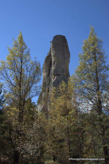
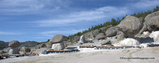
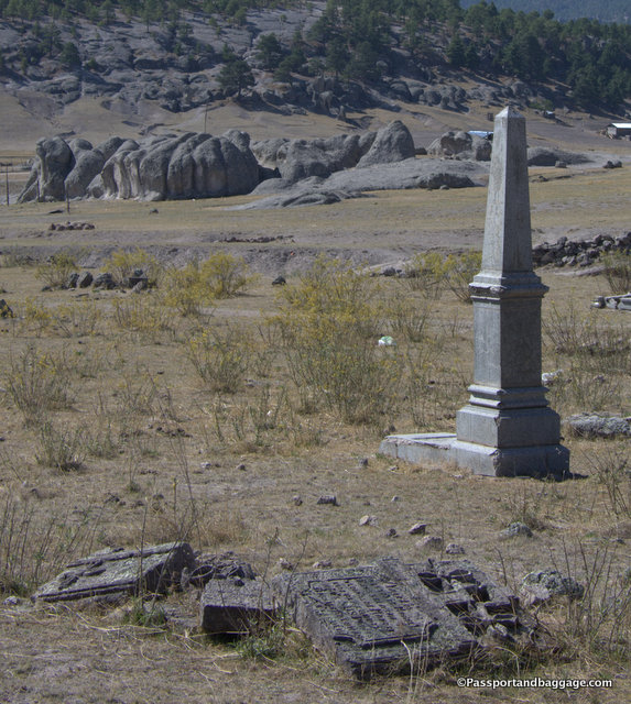
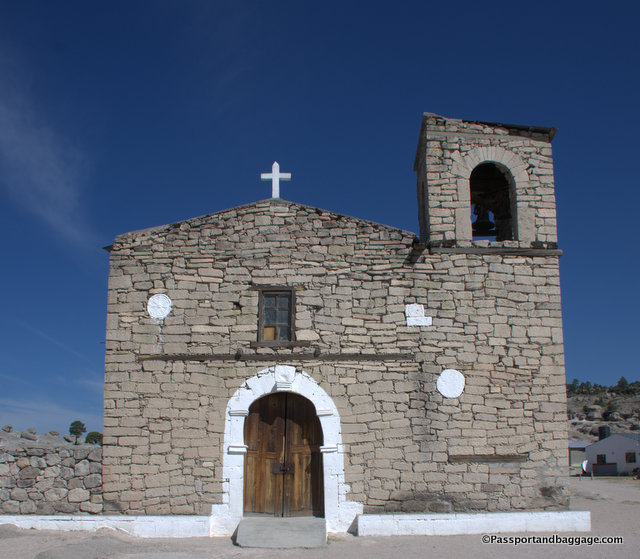
No matter where you look you can see something in the rocks within the Indian area of the Sierra de Tarahumara outside of Creel. There is the Valley of the Monkeys, the Valley of the Mushrooms, Elephants and other animals. For some reason, this was the Valley of the Monks
It is impossible to describe the drive from Creel to Batopilas. The first portion of our drive took us through the Tarahumara Indian lands, of which you pay a nominal entrance fee. The roads here are dirt and they are intended to drive you to small areas of interest with women selling Tarahumara handicrafts.
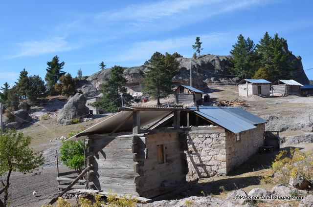
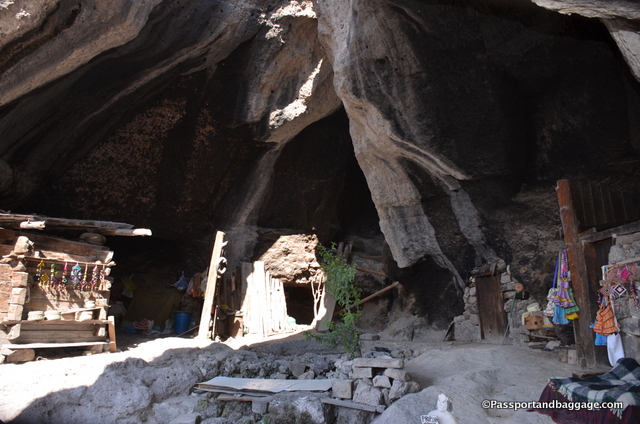
The situation is somewhere between exploitation and desperation, and I am not sure what to think of it. The following photo is of a home, in front was a large sign with a basket saying propinas (tips). I will leave each reader to draw their own conclusions, none of which can possibly be correct without a more thorough understanding of what is actually happening at this point in time and with the people involved.
They (The Tarahumara) also eat a lot of Maruchan, the Japanese instant noodles that come in plastic-foam tubs. Foil-wrapped potato chips, too, and plastic liters of Coca-Cola, and Tecate beer in pop-top cans—you can spend six hours rattling in a four-wheel-drive pickup toward the deepest remove of a Tarahumara canyon, hair pinning around crumbling dirt roads hacked straight out of the cliffs, until the truck winds around the very last drop-off and the sun is setting and the smoke is curling from distant chimneys and the sound of ceremonial drums is floating up from somewhere way below, and there along the footpaths are two empty soda bottles and a discarded tub of Maruchan. – National Geographic, November 2008
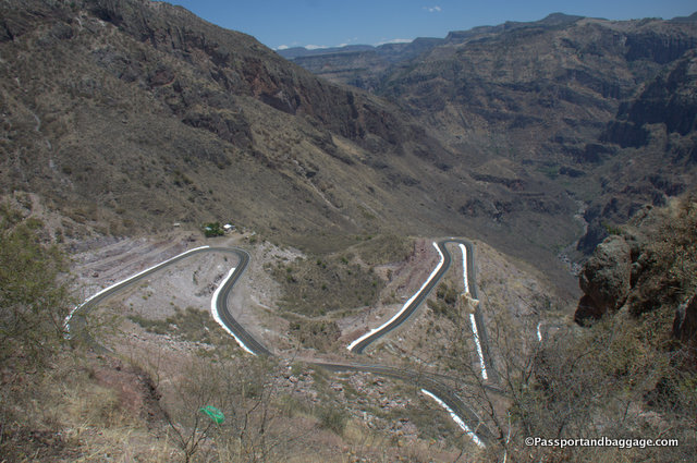
The road to Batopilas from Creel is 160 kilometers, or about 100 miles, and takes between 3 and 4 hours. Lest you think I am complaining, it is important to know that until just 5 years ago this road was not paved and the trip took upwards of ten hours.
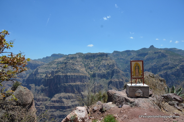
If you need, you can stop and say a prayer to Our Lady of Guadalupe. The formation behind Our Lady of Guadalupe is called the wedding cake.
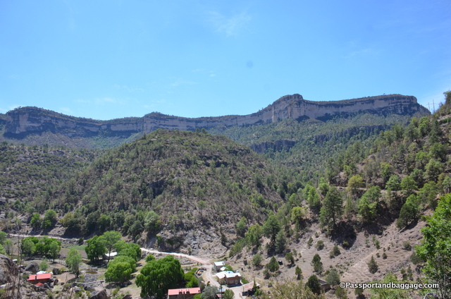
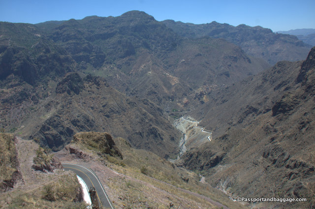
Creel’s elevation is 7694 feet, the road then dips down and climbs up again, five times, each time reaching peaks with elevations around 6000 feet and dropping back to elevations around 1600 feet, all of this with views that will keep your jaw on the floor and your tongue saying WOW the entire 100 miles.
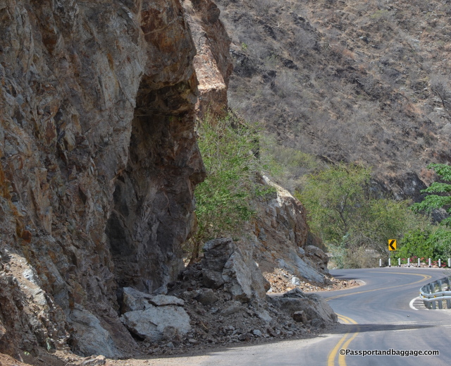
Your final descent is to the town and river of Batopilas which sits at 1896 feet. The road is not well maintained, and when I asked, the answer was that the governor of Chihuahua was taking all of the money for himself. I was also told the road is essentially impassable during the rainy season. For the last 20 miles or so, due to the falling boulders and debris, it is a one lane road.
The road is not for the faint of stomach, but it is also not to be missed. It is an adventure that I will not soon forget, and one that I am eternally grateful that I was fortunate enough to make.
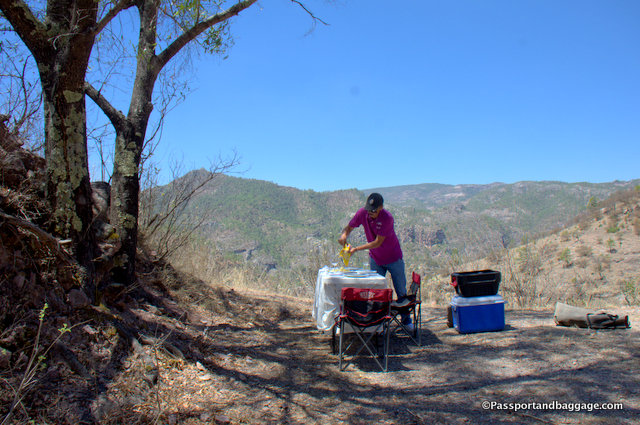
I should add a writer’s note at this point. I am traveling with two of my dearest friends, but we are not on a guided tour. We hired a driver to take us down to Batopilas (thus the lovely lunch setup). He spoke very good English, and with my Spanish, we had great conversations. However, the opinions were his own, and not necessarily informed, as he lives in Creel and only does this trip about 3 times a month. Also, I have found often times, drivers are not willing to answer the pointed questions I might ask. However, Martin was a terrific driver and an exceptionally polite and fun guy to have around.
