May 2015
I am in the south for the Victorian Society Annual meeting. I have never been to this part of the south, and am anxious to explore the architecture and the history.
Today was spent in Beaufort, South Carolina, a one hour drive from Savannah, Georgia. I did not even know this town existed until today, and yet it is so rich, both architecturally, as well as, historically.
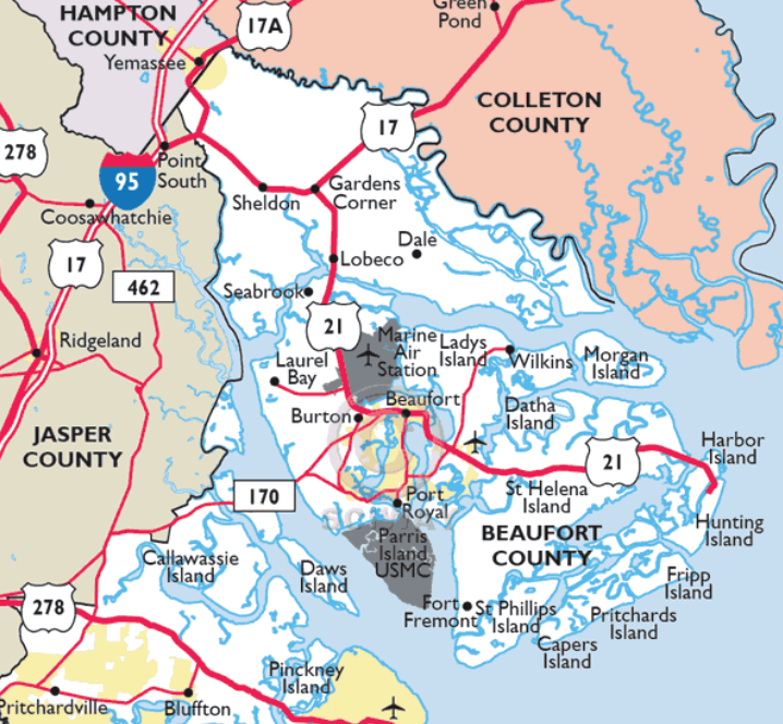
A little history before I walk you around town. American Indians spent summers here, as far back as the second millennium B.C.. This fact is vital because it plays a part in the construction of homes in the area.
This area was settled around the same time as our first U.S. city, St. Augustine, Florida, Beaufort claims to be the second (1562). There were Spanish, French, English and Scottish, all here for the rich soil and water trade routes to Europe.
The area finally was settled permanently by the English and chartered in 1711. The town was named after the Duke of Beaufort. The English laid out the still existing grid streets of the town.
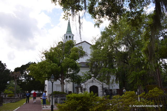
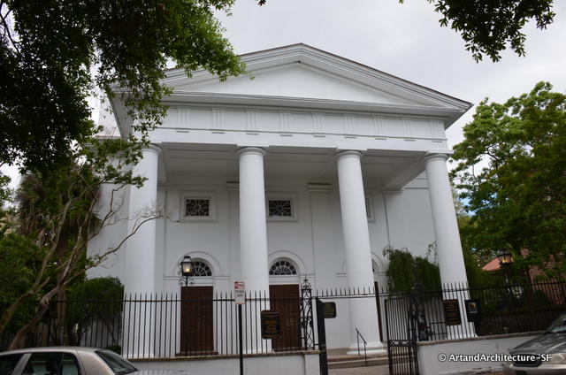
St. Helena’s Parish was established in 1712. The church we visited was not quite that old, but sits where the original sat.
Main industries of Beaufort at that time were indigo and rice. There is a normal tidal variation between low and high tide of eight (8) feet and eleven on “spring” tides. This is one of the greatest variations along the Atlantic coast and makes rice planting feasible…to say nothing of oyster harvesting.
Beaufort was extremely prosperous at this time with vast amounts of wood allowing shipbuilding that added to the rice and indigo trade. A plantation owner of this time, Thomas Heyward, was one of the signers of the Declaration of Independence.
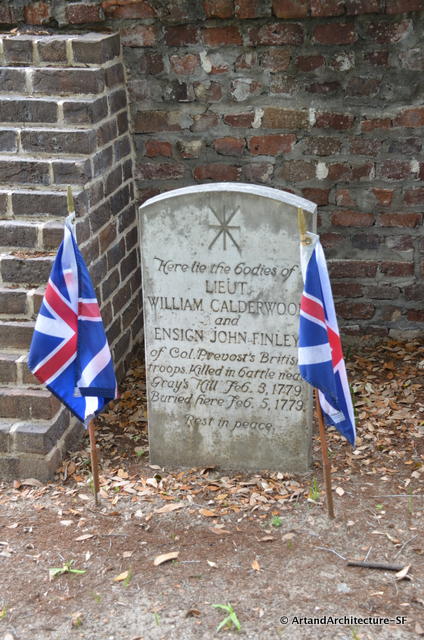
Many of the socially prominent families of this time remained loyal to the crown during the revolution and there are British soldiers buried in St. Helena’s graveyard.
After the American Revolution the need, by the English, for indigo dried up and Beaufort’s economy was based on Sea Island Cotton. Beaufort became the wealthiest and most cultured town of its size in America because of the Sea Island Cotton crop.
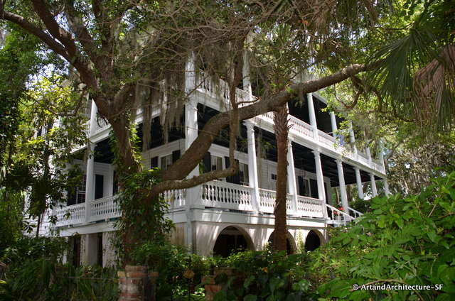
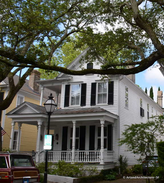
The architecture of the Antebellum Days was predicated on getting cool breezes through a home. The homes typically faced south and had wide verandas. Many were built close to the water, which gave them the best breezes.
During this time many of the houses were of wood with tabby and brick used for the foundations, although many were built entirely of tabby and brick.
Most Antebellum homes are in the Greek Revival, Classical Revival, or Federal style. They tend to be grand, symmetrical, and boxy, with center entrances in the front and rear, balconies, and columns. In the case of Beaufort, often hidden behind large trees.
In Beaufort, this style included large raised basements that addressed the constant threat of flooding from the tidal marsh.
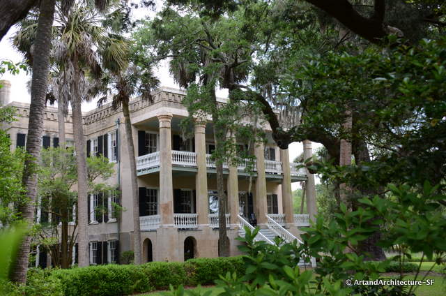
Called “The Castle” this is the last Antebellum house built in Beaufort
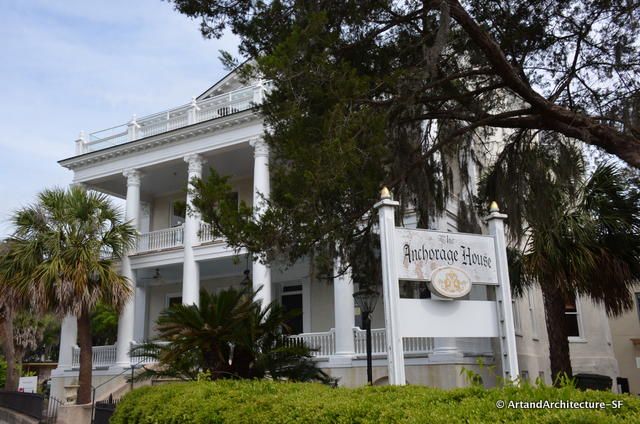
The Anchorage House, presently undergoing a restoration is the tallest tabby home in the United States. Although extensively altered in the late 19th century it is a classic antebellum period home originally built in 1800.
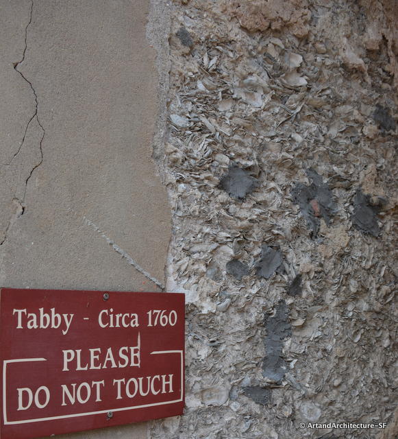
When the American Indians summered in this area, for ten thousand years, they ate oysters and left behind mounds of shells for the future use of contractors.
Lime, an essential ingredient in cement was unavailable. It was created by burning the oyster shells. This was then mixed with sand and whole oyster shells to create a cementious mix for building. This was called Tabby.
Tapia is Spanish for “mud wall” and Arabic tabbi means a mixture of mortar and lime. In the earliest buildings of the area they also included Spanish Moss. The Spaniards had been using this building style for centuries, but some researchers believe the English developed it in South Carolina on their own.
If you are interested in a very detailed account on how to make tabby click here.
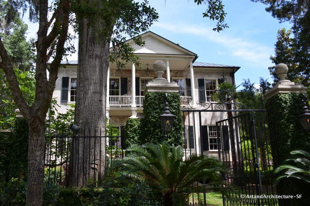
We were guests of the Beaufort County Open Land Trust in this tabby home.
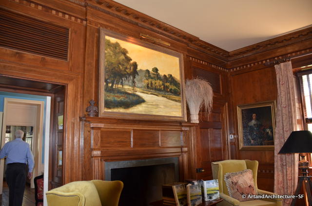
This stunning wood paneling, removed early on in the life of the home found its way to New York, then California and finally back home to rest where it began
The cotton planters living in these homes sent their sons to be educated at Harvard and Yale and and often shuttled between Newport, Rhode Island and Beaufort, South Carolina (the Newport of the south).
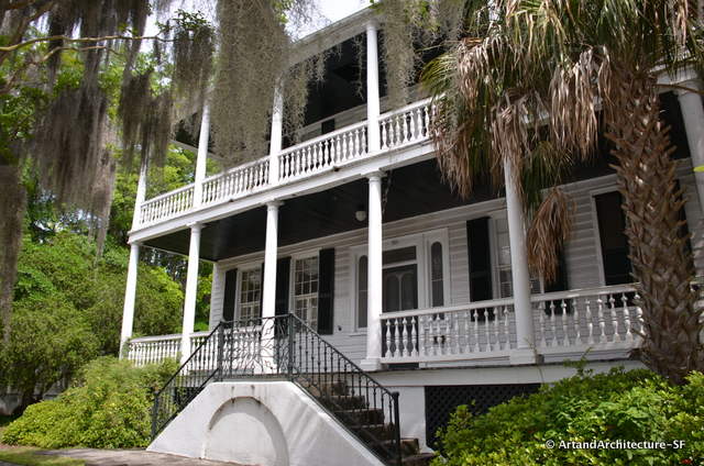
Basements, raised entirely above ground were typical Beaufort style in Antebellum homes
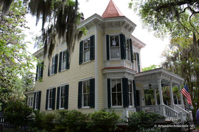
By 1886 Beaufort had lost its own style and people began building out of National Pattern Books
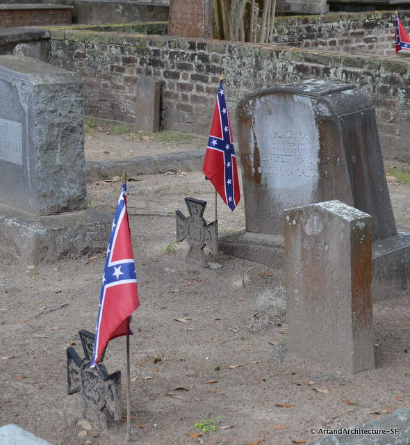
The Civil War changed everything in Beaufort, South Carolina.
November 7, 1861 known as the “Day of the Big Gun Shoot” began at 9:26 a.m. The Union naval forces came into Port Royal Sound, found no resistance, and took over with no blood loss.
Warned by Southern spies via telegraph, every white person in Beaufort had already “skedaddled”. The white Southerners left most everything behind, leaving the homes almost intact. They also left 10,000 slaves behind.
Beaufort was Union territory. This area became a hospital zone and a Union army regional headquarters for the duration of the war. Most every one of the large homes and buildings became either hospital wards or offices for the Union Army. This is what saved the architecture of Beaufort.
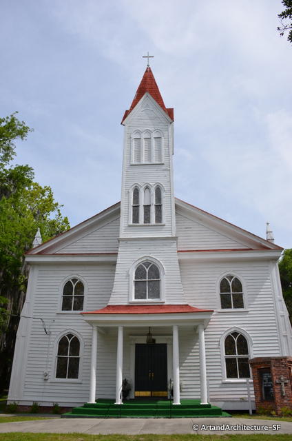
Tabernacle Baptist Church ca. 1893 where Robert Smalls is laid to rest
On January 1, 1863 the Emancipation Proclamation was read to the freedmen of the area. Following this, the government imposed a Federal real estate tax on the Southern landowners and their homes. The Southerners were not going to pay taxes to these people, so the Federal government confiscated the land. The land was auctioned off to the occupying Union soldiers and civilians. The plantations were cut into 40 acre lots and for $2.00 an acre a freedman was able to buy 40 acres and a mule.
During the decades after the Civil War the black population of the area outnumbered the white populaton seven to one.
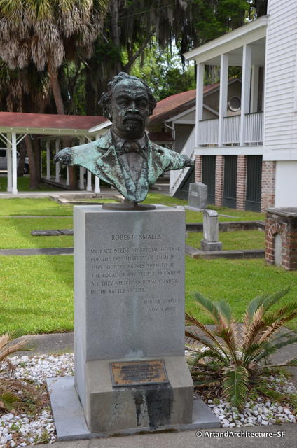
Robert Smalls
Robert Smalls became a very influential man during this period. Born in Beaufort, South Carolina, he freed himself from slavery on May 13, 1862, by commandeering a Confederate transport ship, the CSS Planter, in Charleston harbor, and sailing it to freedom beyond the Federal blockade.
After the American Civil War, he became a politician, elected to the South Carolina State legislature and the United States House of Representatives.
In 1877, with the enactment of the Jim Crow laws, Beaufort lost any political power it had in the state. However, the city itself remained a Jim Crow law free zone due to its overwhelmingly high black population.
The history of Beaufort struggled through the rest of its history, going from the richest area in the United States to the poorest. Today it relies on income from the ever growing summer homes of the area, tourism and retirees.
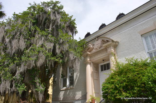
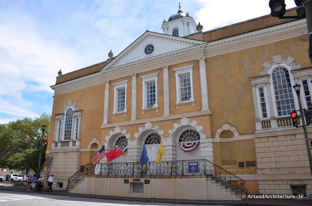
Andrew Carnegie Library 1918
All the original books of Beaufort were taken to Washington D.C. for safekeeping during the Civil War time. They were lost when the Library of Congress burned in 1864. The Carnegie Library was built in 1918.
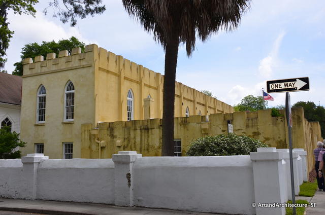
Construction on the Beaufort Arsenal began in 1795. The land was given to the volunteer organization, The Beaufort Volunteer Artillery Company, by the city. The building retains a portion of its tabby walls.
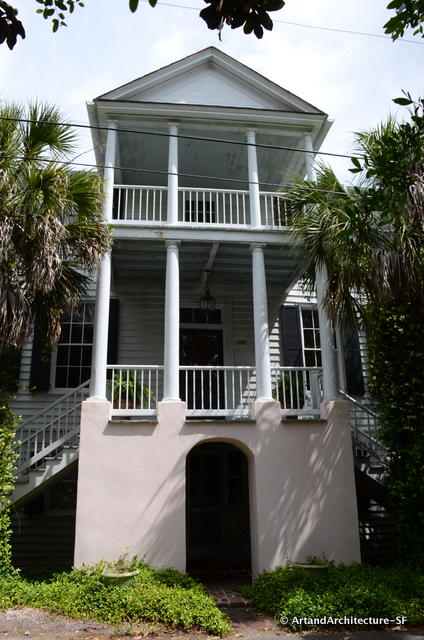
The plinth under these columns is typical “Beaufort Style” from the 1810s.
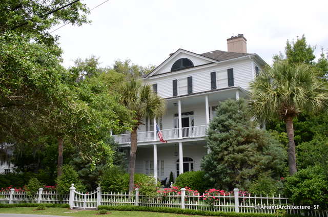
This home was saved from destruction by Jim Williams, the protagonist in “Midnight in the Garden of Evil”
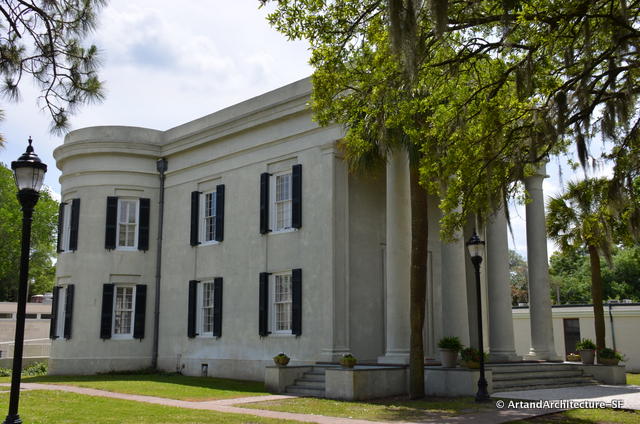
Built in 1795 this stucco on brick building is now part of South Carolina Beaufort College
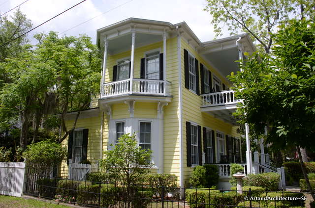
The “Pretty Penny”, owned by a lumber maven, is said to be built with perfect wood and there is not a knot in the house – ca. 1850
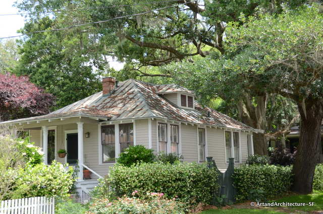
A Sears and Roebuck Catalogue Home
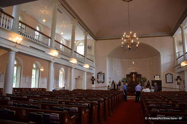
Interior of the Parish of Saint Helena
I have already shown you some exterior shots of the Parish of Saint Helena. I would like to take this opportunity to expound a little bit. We were given a wonderful talk about the church by this woman.
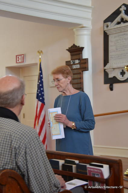
Anne Heyward
This is Anne Hayward, and if you were paying close attention, yes it was her great x 4 grandfather that was a signer of the Declaration of Independence. Her knowledge of the church and the area is staggering.
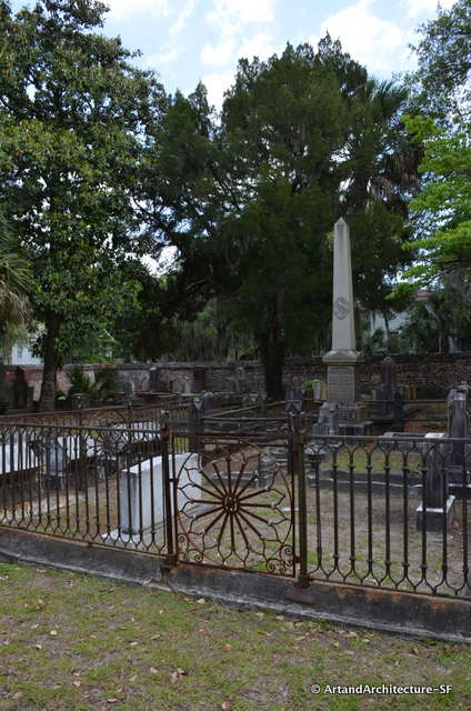
I am always attracted to graveyards, and the one at St Helena’s has some great characters. I would like to bring you just a few.
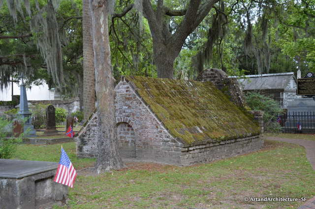
Dr. Perry’s Brick Mausoleum
Dr. Perry knew of someone that had been buried alive, so he had a pickaxe, a jug of water and a loaf of bread with him when he went.
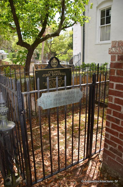
Colonel John “Tuscarora Jack” Barnwell
Colonel Barnwell, an Irish immigrant who arrived in 1700, was the builder of the Tabby home we dined in. He built the home for his daughter Elizabeth after she eloped to Europe with an unsavory fellow and the colonel knew the marriage would not work.
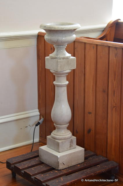
This Baptismal Font is one of the few things left from before the Civil War – it is still used today
While the homes of Beaufort survived the Union occupation the contents did not, it is rare to find items from buildings before that time period.
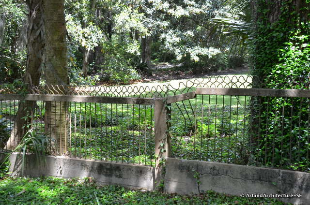
Bobby Pin Fence
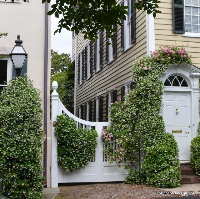
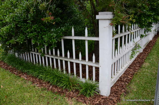
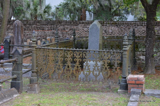
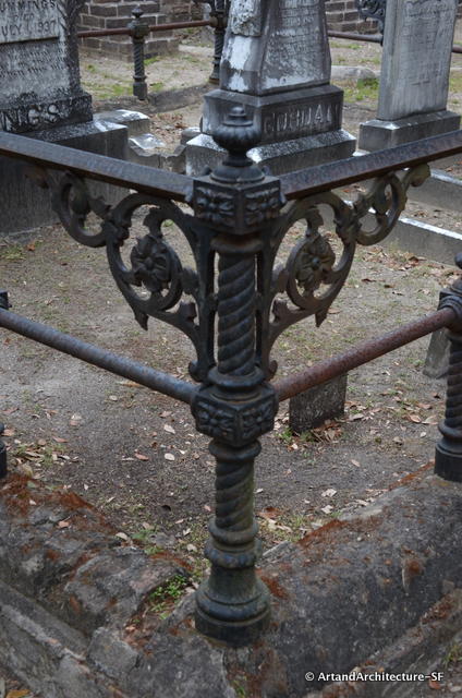
Decorative fences are all over the area, and as varied as they are many. The fences in the past were latticed on the bottom and often very high. This kept the chickens from escaping through the slats and the cows from the yards.
*
*
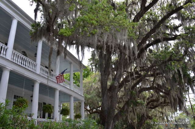
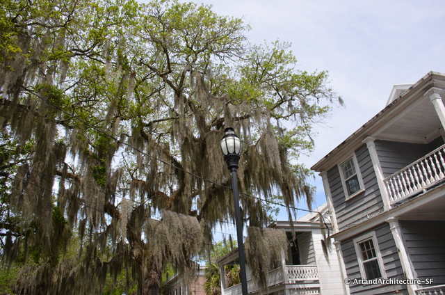
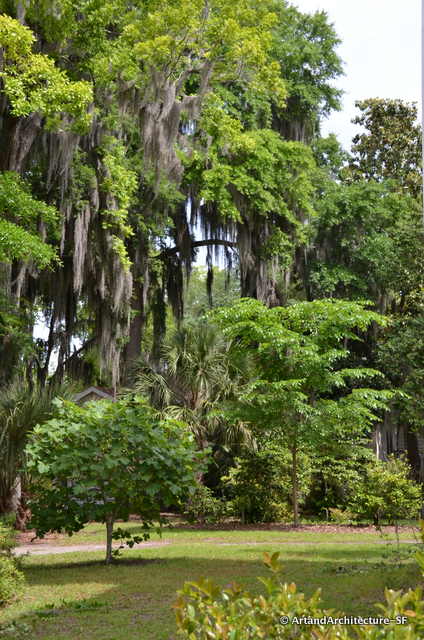
Spanish moss is EVERYWHERE! It is not Spanish, it is not moss and it is not a parasite. It is actually an epiphyte and a member of the pineapple family, Tillandsia usneoides. It does not need a tree to grow, as you can see in the second photos where it is draped on the phone wires, it just needs lots of air and lots of sun.
Another tree that is thriving in the south is the Elm. Dutch Elm disease can not live in areas where it is 90 degrees day and night.
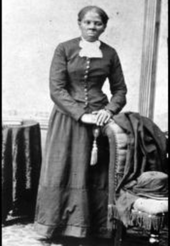
Harriet Tubman
In 1862, Governor Andrew of Massachusetts arranged for Harriet Tubman to go to Beaufort, South Carolina, as a nurse and teacher. She was a nurse in the Tabby home in which we dined.
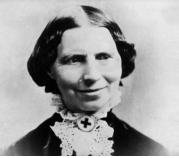
Clara Barton
Clara Barton, founder of the Red Cross, served in Beaufort, South Carolina twice. The first during the Civil War and again in 1893 when a horrific hurricane wreaked havoc on the area.
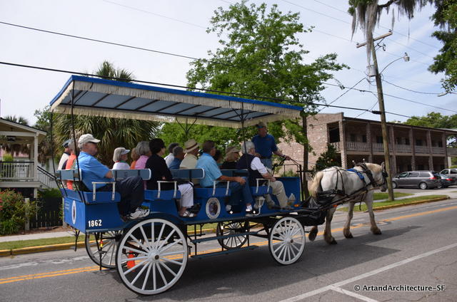
If you are heading to Beaufort, there are many many architectural tour companies available. I found two wonderful books on the history of the area that can guide you easily around should you prefer to do it on your own.
The Historic Beaufort Foundation Guide to Historic Homes and Places and Beautiful Beaufort by the Sea Guidebook
*
*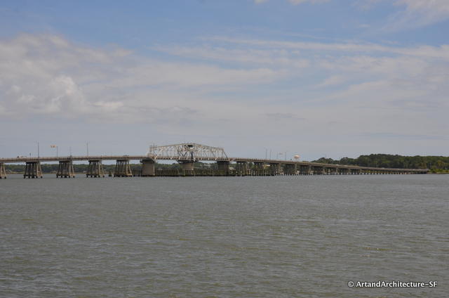
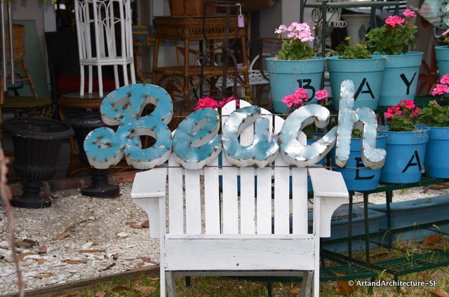
The town is small and walkable with a delightful shopping main street and a waterfront for relaxing and cooling off with the breezes off the water.
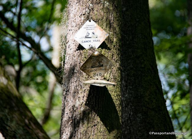
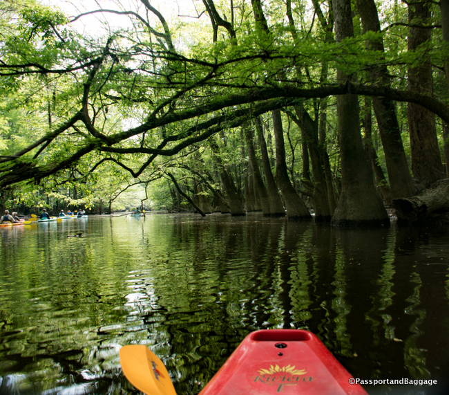
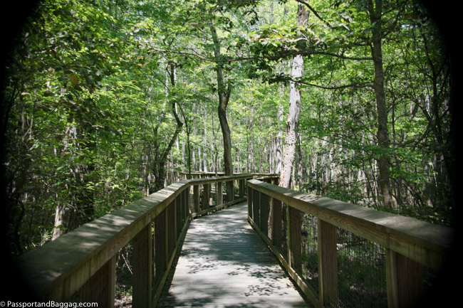
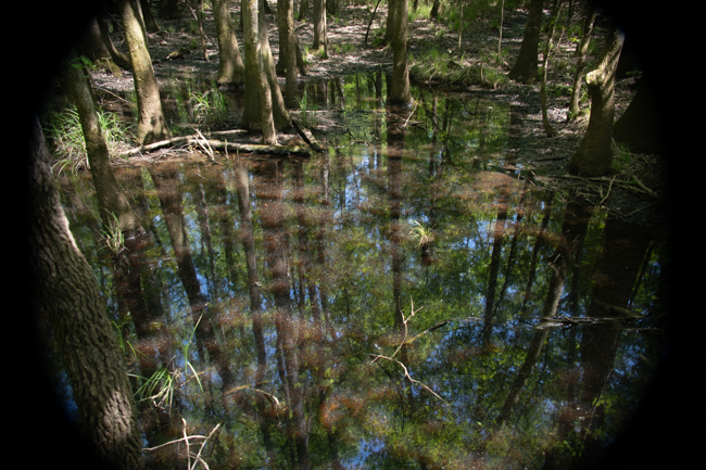
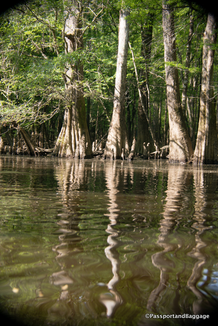 The park also has one of the largest concentrations of champion trees in the world, with the tallest known examples of 15 species. Champion trees include a 167-foot loblolly pine, a 157-foot sweetgum, a 154-foot cherry bark oak, a 135-foot American elm, a 133-foot swamp chestnut oak, a 131-foot overcup oak, and a 127-foot common persimmon. Due to their height and the shade from the enormous trees, none were very photographable.