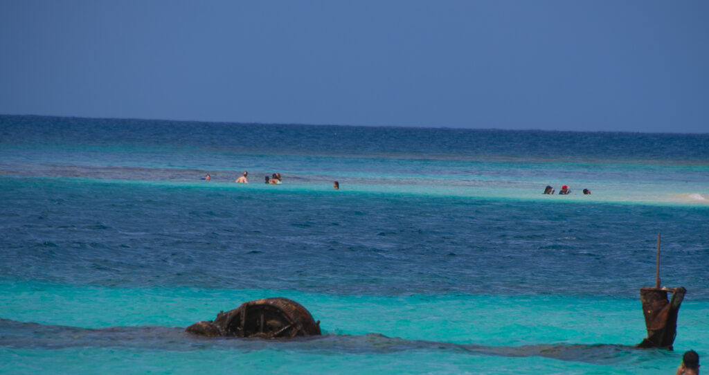
January 2022
The French were not the first to think of building a canal through Panama, but they were the first to try. Their effort that began in 1880 ended in disaster and resulted in over 25,000 deaths.
In 1902, once the French pulled out of the project, Teddy Roosevelt pushed the US to purchase the French assets for $40 million. The rights were rejected by the Colombian territory leading the US to throw all of its weight behind the Panamanian independence movement.
After Panama gained its independence, the Panama Canal Zone was established with the Hay-Bunau-Varilla Treaty of 1903. The treaty ceded control of the Canal Zone to the US in perpetuity, in exchange for $10 million.
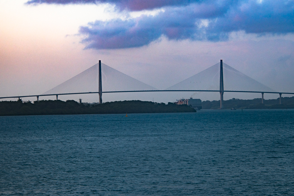
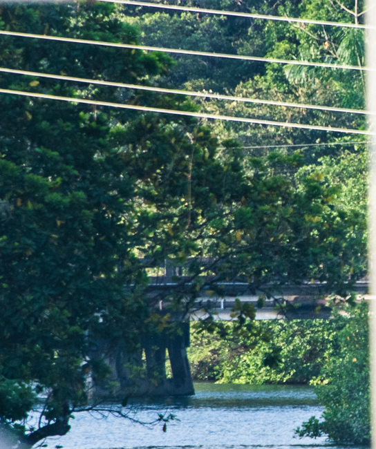
Approaching the Atlantic Bridge, before entering the canal. The bridge is a double-pylon, double-plane, concrete girder, cable-stayed bridge with a main span of 1,740 feet. The bridge was designed by the China Communication Construction Company (CCCC) and built by Vinci Construction.
Due to deaths from malaria the first years of the project were a disaster, then in 1905 the project brought in William Crawford Gorgas who had spent time in Cuba and understood that malaria and yellow fever were a result of mosquitos. Fumigation, draining of pools of water, and the addition of screens to windows and gutters were instigated, as well as the spraying of crude oil mixed with kerosene into water sources and puddles to kill mosquito larvae. Thanks to those efforts, yellow fever cases on the isthmus were largely eradicated by the end of 1905.
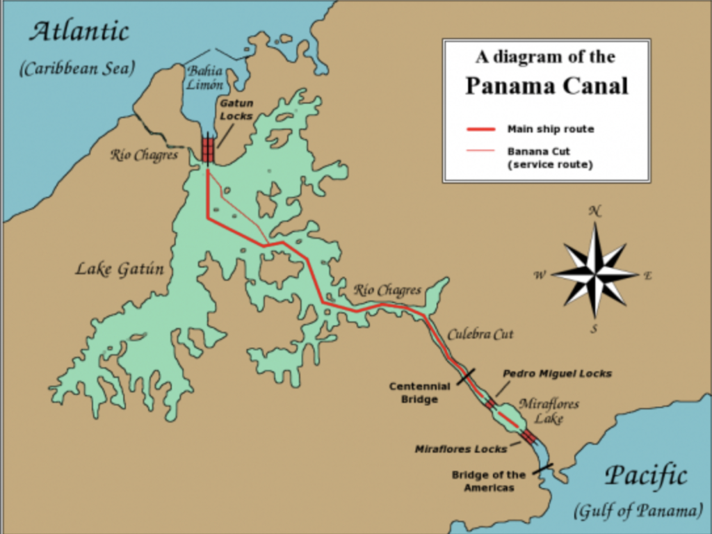
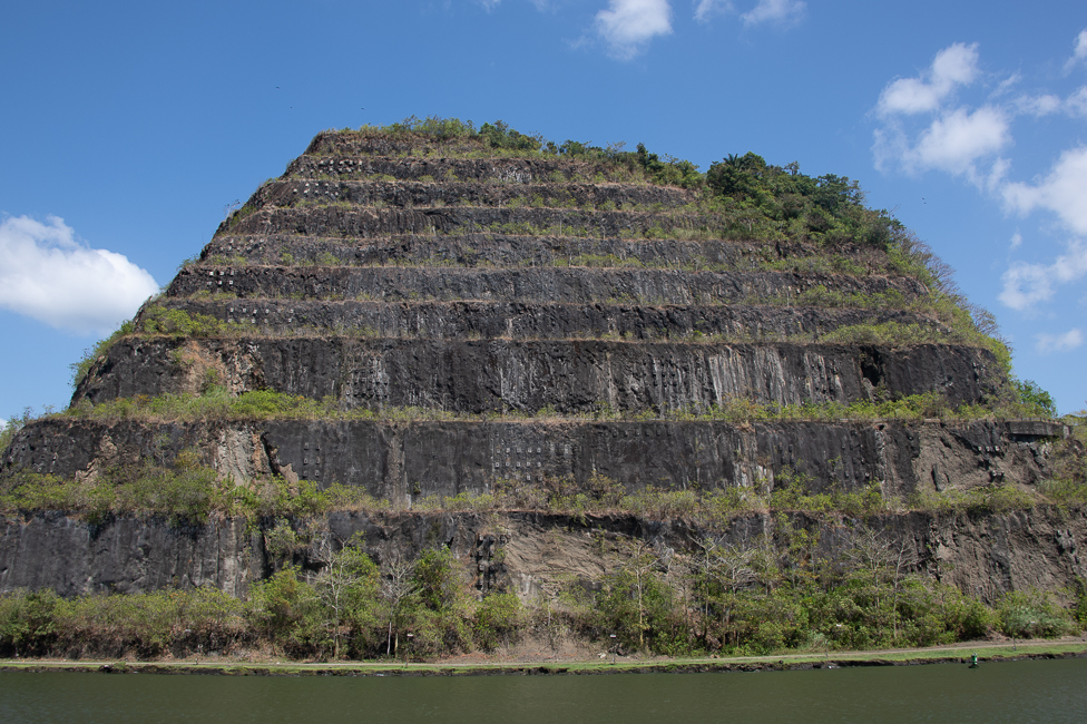
As the canal construction continued, accidents replaced disease as the largest cause of death in the canal zone. Most occurred while digging a ditch 45 feet deep and approximately 300 feet wide through an eight-mile mountainous stretch known as the Culebra Cut. The Culebra Cut is carved through the rock and shale of the Continental Divide and is a little over 8.5 miles long.
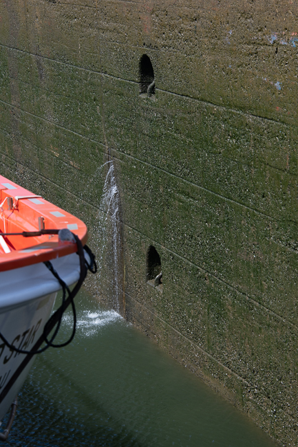
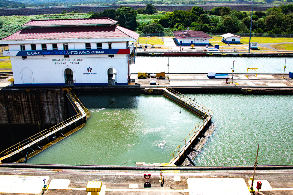
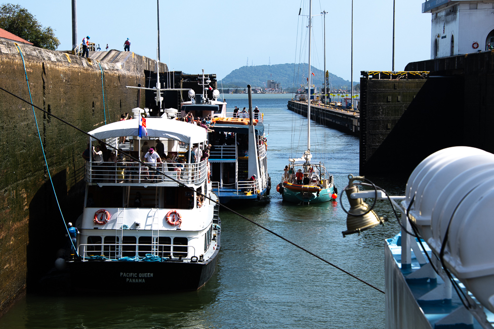
Notice the holes in the walls, embedded in these holes are hooks to tie off a boat. When the canal was first built it was thought that the locks might need to become dry docks for repairs.
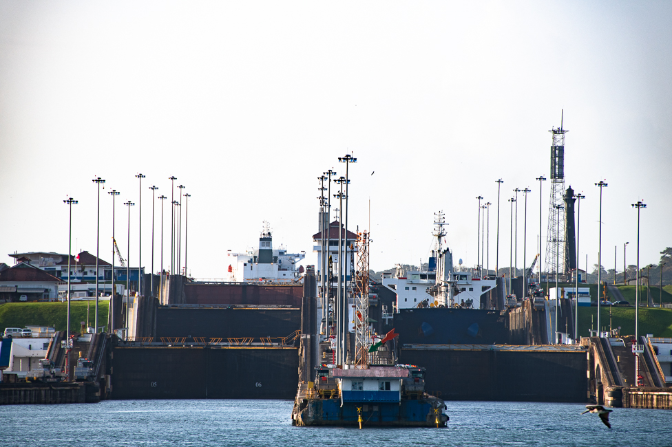
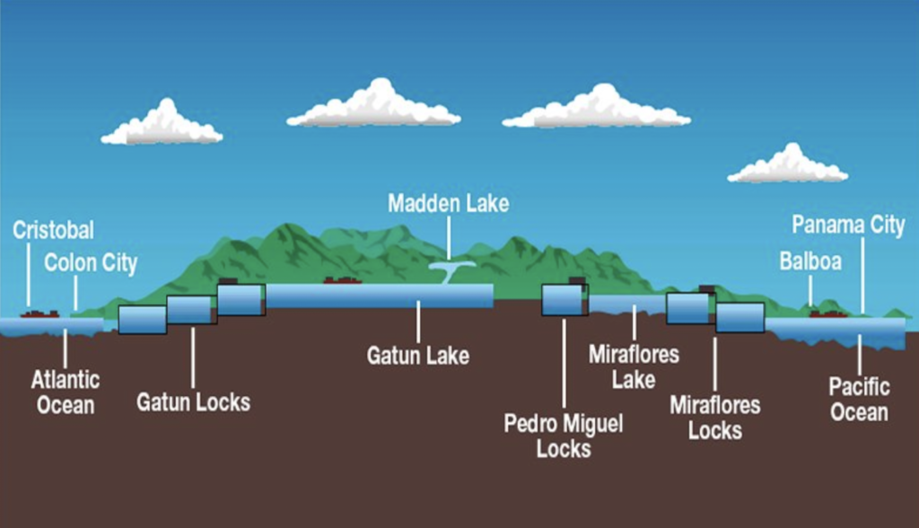
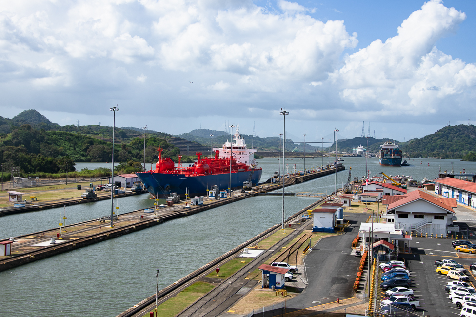
The locks, which were first poured in Gatun were built in pairs, with each chamber measuring 110 feet wide by 1,000 feet long. The locks were embedded with culverts that use gravity to raise and the lower water levels. 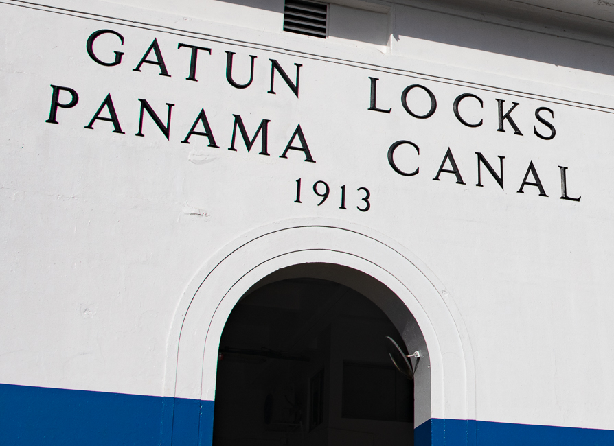 Ultimately, the three locks along the canal route lifted ships 85 feet above sea level, to man-made Gatún Lake in the middle.
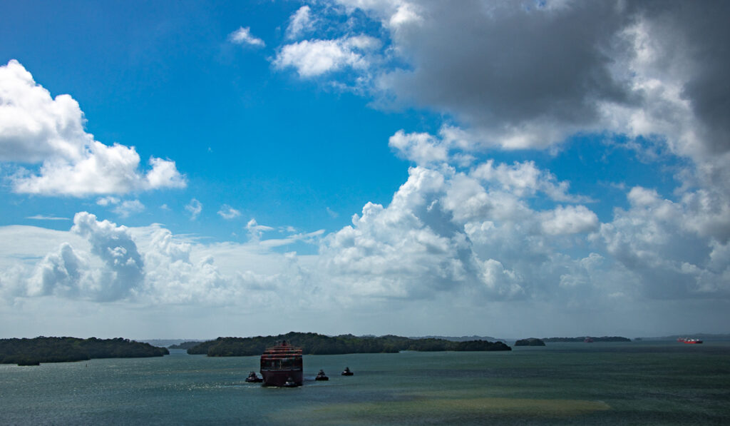
Gatun lake was created between 1907 and 1913 by the building of the Gatun Dam across the Chagres River.
The gates to the locks are hollow and float and vary in height from 47 to 82 feet.
The Panama Canal officially opened on August 15, 1914. The project cost $350 million, utilized 3.4 million cubic meters of concrete and 240 million yards of rock and dirt. Of the 56,000 workers that were employed between 1904 and 1913, 5600 were reportedly killed.
On January 9th 1964 the perpetuity terms of the Hay-Bunau-Varilla Treaty precipitated riots that started after a Panamanian flag was torn and students were killed by Canal Zone Police. The US army got involved after the Canal Zone police were overwhelmed. Three days of fighting led to the death of 22 Panamanians and 4 US soldiers. The riots encouraged the US to transfer full control of the Canal Zone to Panama through the 1977 Torrijos-Carter Treaties, signed by Jimmy Carter and Panamanian leader Omar Torrijos. January 9th is now celebrated in Panama as Martyr’s Day.
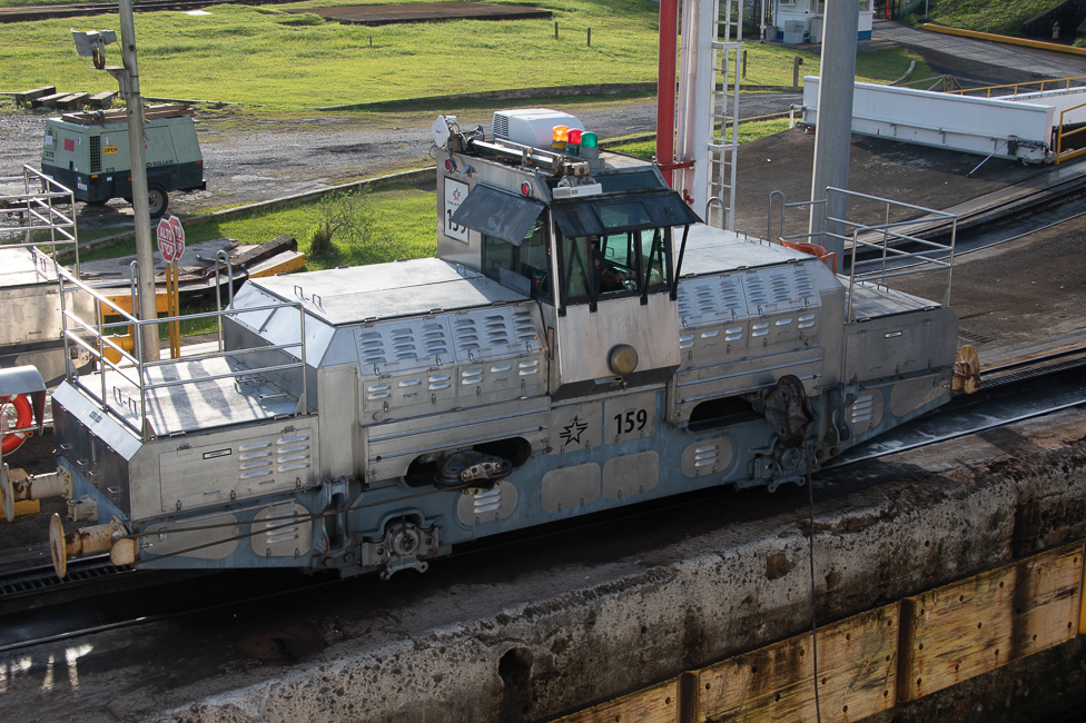
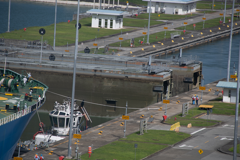
These trains are called mules. While no animals were ever used on the Panama Canal they take their name from the animals used on canals of the East Coast of the US. Mules are only used to keep the ships in the center of the lanes, they do not aid in the passage of the ships. Mules are also only found in the 6 original locks.
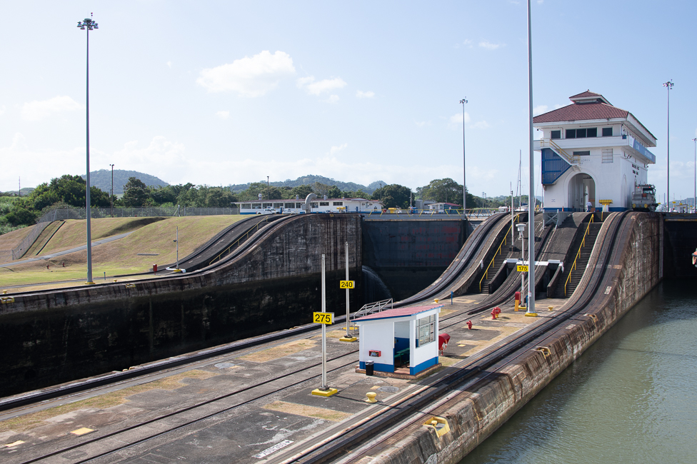 The American Society of Civil Engineers recognized the canal as one of the seven wonders of the modern world in 1994.
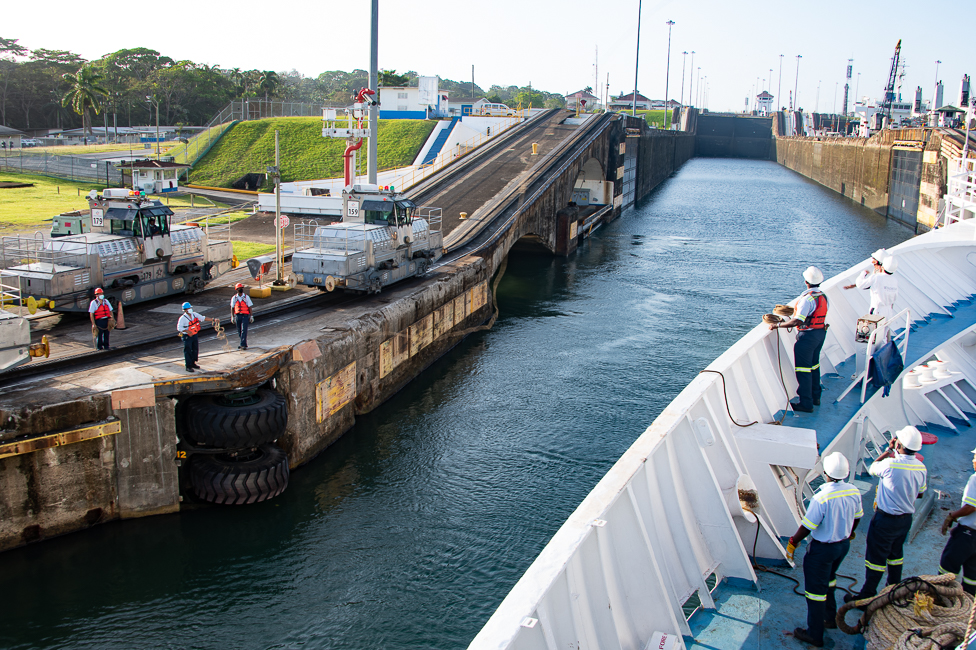
Workmen on the sides throw ropes to the Panama Canal Line Handlers on the ship to connect the ship with the mules
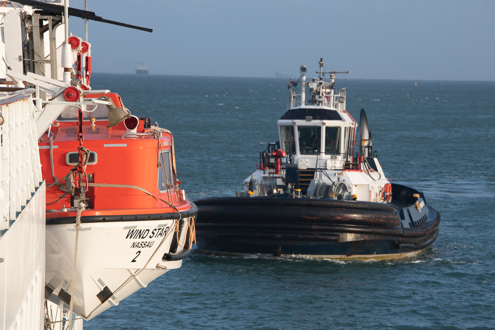
Every ship that crosses through the canal is required to have a minimum of one Canal Pilot and the appropriate number of Line Handlers. The number is based on the size of the ship. The pilots are brought aboard by tugs prior to entering the locks.
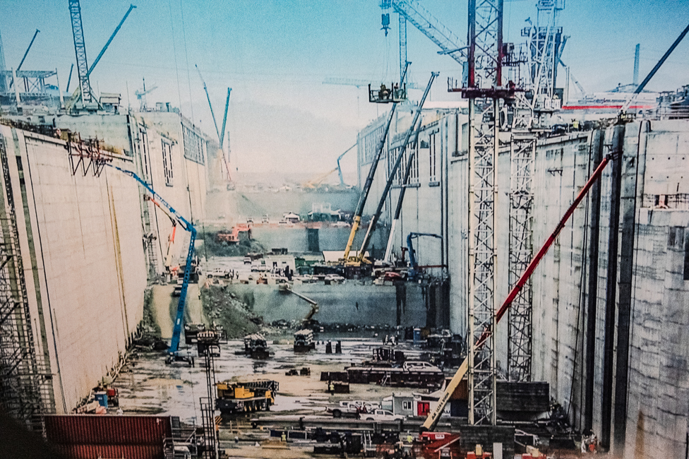
In 2016 the Panama Canal expansion project built two new sets of locks, one each on the Atlantic and Pacific sides. This doubled the capacity of the Canal and allowed for larger ships.
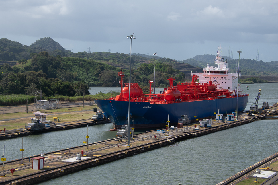
An unexpected side effect of this expansion is the altering of the Liquid Natural Gas industry. According to the reports by the Panama Canal Authority, the route from Sabine Pass in Louisiana to Japan would be cut by 11.4 days. For Peru’s Camisea Gas Project, the shipment of its natural gas to Spain via the canal saves eight days transit. and the route from Trinidad and Tobago to Chile is cut by 6.3 days. The canal is is now able to handle 90 percent of the world’s LNG tankers in comparison to its original handling of just 10%.
According to the Maritime Administration, the expansion can substantially increase exports of grain, including soybean, wheat, and corn products, which has the potential to reduce the cost of shipping grain from the American Midwest corn belt to Asia by roughly 12%.
Prior to the pandemic Panama financially benefited from the canal as 6% of world commerce passes through here annually. In 2012, Panama’s GDP grew by 10.5 percent. World banks expect Panama to be one of the first Latin countries to come out of the pandemic in a financially healthy position.
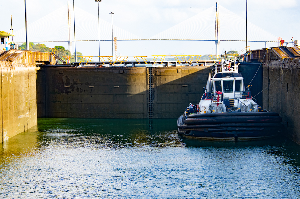
Neo Panamax ships are guided by tugs. There is no need for the mules, as the newer ships have larger thrusters for control. The tugs are to ensure the boats do not hit the sides of the canal.
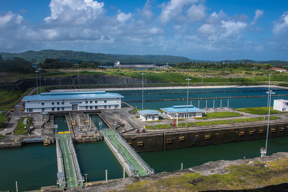
While it rains 9 months of the year in Panama, in El Nino years there is often not enough water to fill the locks of the New Canal, so extra water is stored alongside of the locks, which can be seen behind the buildings with the blue roofs.
The most expensive regular toll for canal passage to date was charged on April 14, 2010, to the cruise ship Norwegian Pearl, which paid US $375,600. The average toll is around US $54,000. The lowest was paid in 1928 by US travel writer and adventurer, Richard Haliburton when he swam the canal. Based on his height and weight he paid 36 cents. The canal is teeming with crocodiles, so Haliburton was accompanied by two row boats and four men with rifles.
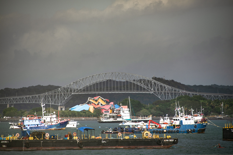
The Bridge of the Americas crosses the Pacific approach to the Panama Canal. It was built between 1959 and 1962, by the US at a cost of $20million. Upon its completion in 1962 the Bridge of the Americas was a key part of the Pan-American Highway. The bridge will be replaced soon as it can no longer accommodate some of the larger ships.
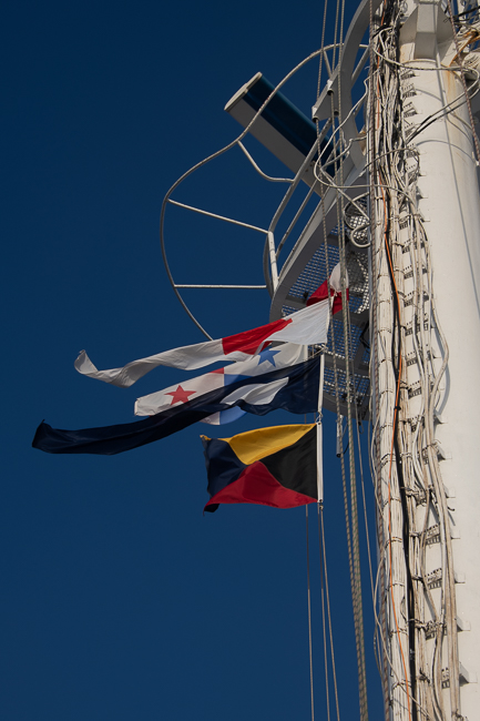
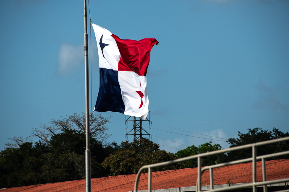
Every ship flies the Panamanian flag while crossing through the Canal. The other flags have meanings as well, one says we were a passenger ship.
David McCullough did an amazing film for Nova about the canal titled A Man, A Plan, A Canal. While dated, it is well worth watching to see the photos of the building of the dam and learn the history in depth.


 *
*